Rio Pueblo Campground
Campground
Campground · 1.5 mi from the trail
 Photo: Marge6914, CC BY-SA 3.0 (via Wikimedia Commons)
The hike is an easy out-and-back on Bureau of Land Management land in the Taos Field Office, about a mile and a quarter from Taos. The route is short, covering roughly 2 miles with a total elevation gain of about 200 feet, and the high point is about 6,930 feet, just a few dozen feet above the trail's start. Late spring and early fall are the most comfortable times to go. Typical averages from the Taos weather station, at a similar elevation, show May highs around 73°F and September highs near 78°F, while July averages climb to 87°F and winter highs sit around 42°F. Several other trails and climbing areas lie close by. The Sediment Trail is less than a mile away, and the Rift Valley Trail and La Gijosa Trail are within about a mile. Climbers can head to Gold Rush Wall, about 2 miles off.
Rio Pueblo Campground
Campground
Ranchos Plaza Grill
Restaurant
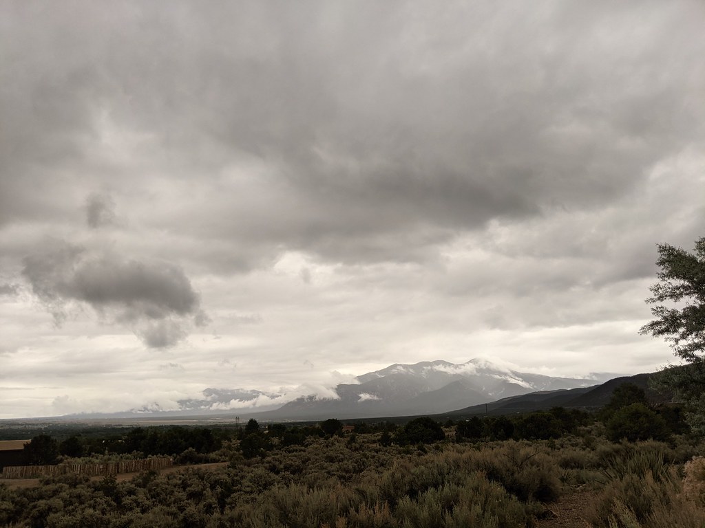
 If it rainsKhlnmusa, CC BY-SA 3.0 · Wikimedia Commons
Places © OpenStreetMap contributors · Photos: Khlnmusa, CC BY-SA 3.0 (commons)
More in Arroyo SecoNot on Roamze yet. Their page has how to reach them.
Sediment TrailHikingPhoto: Marge6914, CC BY-SA 3.0 (via Wikimedia Commons)0.8 miLa Gijosa TrailHikingPhoto: Marge6914, CC BY-SA 3.0 (via Wikimedia Commons)1.1 miSource: Roamze catalog (indexable pages within 10 miles, PostGIS distance)
Sediment TrailHiking · ~1 min drivePhoto: Marge6914, CC BY-SA 3.0 (via Wikimedia Commons) OjitosHiking · ~17 min drivePhoto: rogerostudio, CC BY-SA 2.0 (via Flickr)
 Rio Grande Gorge State Park West Rim TrailHiking · ~17 min drivePhoto: Matt Lavin, CC BY-SA 2.0 (via Flickr)La Gijosa TrailHiking · ~2 min drivePhoto: Marge6914, CC BY-SA 3.0 (via Wikimedia Commons)Devisadero LoopHiking · ~18 min drivePhoto: rogerostudio, CC BY-SA 2.0 (via Flickr)
 Dos Arroyos TrailHiking · ~15 min drivePhoto: rogerostudio, CC BY-SA 2.0 (via Flickr)
Best months: May–June and August–October. Best months have typical highs of 55–85 °F, lows of 30 °F or warmer (32 °F where the station doesn't record snow), at most one snowy day and no more than 12 wet days.
Jan
42° / 12°
3 wet
Feb
46° / 19°
3 wet
Mar
55° / 25°
4 wet
Apr
63° / 31°
4 wet
May
73° / 37°
5 wet
Jun
84° / 47°
5 wet
Jul
87° / 53°
8 wet
Aug
84° / 51°
10 wet
Sep
78° / 45°
6 wet
Oct
67° / 32°
5 wet
Nov
53° / 22°
4 wet
Dec
42° / 14°
4 wet
Typical high / low (°F) and days with rain or snow, 1991–2020. Measured at Taos, NM, 8.9 mi away at 6,965 ft. This station doesn't record snowfall. Source: NOAA NCEI U.S. Climate Normals 1991–2020.
Map and trail data © OpenStreetMap contributors
