KOA
Campground
Campground · 5.6 mi from the trail
Closure in the area
There's a closure order in Sandia Ranger District. It doesn't name Rincon Trail, so check the source for the area it covers (3 listed).
Area Closure for Recreation Residence Structures and Property at 91 Casa Loma Road
Agency closure covering Sandia Ranger District · Order 03-03-05-26-14 · USFS · Sandia Ranger District
Area Closure for Recreation Residence Structures and Property at 69 Casa Loma Road
Agency closure covering Sandia Ranger District · Order 03-03-05-26-13 · USFS · Sandia Ranger District
Area Closure for Sandia Crest “Switchback” Hazard Tree and Fuel Reduction Project
Agency closure covering Sandia Ranger District · Order 03-03-05-26-02 · USFS · Sandia Ranger District
Sandia Ranger District Road & Area Closure for National Forest Road 462 Maintenance
Agency alert covering Sandia Ranger District · Order 03-03-05-26-24 · USFS · Sandia Ranger District
Mountainair and Sandia Ranger Districts Stage 1 Fire Restriction Lifted
Agency alert covering Sandia Ranger District · Order 03-03-00-26-20 · USFS · Sandia Ranger District
As of · Source: USFS · Sandia Ranger District. Agencies don't list every closure — check before you go.
Rincon Trail is a 1.5-mile hike in the Sandia Mountain Wilderness, part of the Sandia Ranger District of Cibola National Forest in New Mexico. The Forest Service manages the land, and the trail is an out-and-back that climbs about 900 feet from a low point of 8,000 feet to a high of 8,900 feet over a total distance of about 3 miles. The trail is rated easy, and the route is short enough to fit into a day of exploring the surrounding area. The climb is steady rather than steep, and the high point sits just under 9,000 feet. Piedra Lisa North Trail starts about 0.1 mile away, and Tin Shed Trail is about half a mile off. Climbers can head to Shield, about 0.9 mile away, and Juan Tabo Canyon is about 1.2 miles away.
KOA
Campground
County Line BBQ
Restaurant
 If it rainsJim Legans, Jr from Albuquerque, New Mexico, CC BY 2.0 · Wikimedia Commons
Folk art museum in Sandia Park, New Mexico
Places © OpenStreetMap contributors · Photos: Jim Legans, Jr from Albuquerque, New Mexico, CC BY 2.0 (commons)
More in Santo Domingo PuebloNot on Roamze yet. Their page has how to reach them.
 Photo: uıɐɾ ʞ ʇɐɯɐs, CC BY-SA 2.0 (via Flickr)
Tin Shed Trail
Next door
0.61-mile out-and-back hike with 496 ft gain in New Mexico.
 Photo: uıɐɾ ʞ ʇɐɯɐs, CC BY-SA 2.0 (via Flickr)
Fletcher Trail
~2 min drive
2.12-mile out-and-back trail in New Mexico with 1,379 ft gain and 1,379 ft loss.
 Photo: dconvertini, CC BY-SA 2.0 (via Flickr)
North Crest Trail
~5 min drive
10.50-mile out-and-back trail in New Mexico with 4,148 ft elevation gain.
HIKE
Movie Trail
~2 min drive
1.88-mile out-and-back trail in New Mexico with 1,322 ft elevation gain
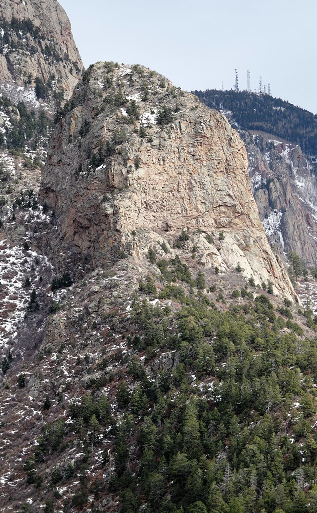 Photo: uıɐɾ ʞ ʇɐɯɐs, CC BY-SA 2.0 (via Flickr)
Pinon Trail
~2 min drive
1.7-mile out-and-back trail in New Mexico with 549 ft elevation gain
Photo: uıɐɾ ʞ ʇɐɯɐs, CC BY-SA 2.0 (via Flickr)Piedra Lisa South Trail
~2 min drive
1.39-mile out-and-back trail in New Mexico with 1,205 ft elevation gain.
HIKE
La Luz
~3 min drive
14.12-mile out-and-back trail in New Mexico with 4,216 ft elevation gain.
Photo: uıɐɾ ʞ ʇɐɯɐs, CC BY-SA 2.0 (via Flickr)Piedra Lisa
~3 min drive
1.28-mile out-and-back trail in New Mexico with 343 ft elevation gain.
Photo: uıɐɾ ʞ ʇɐɯɐs, CC BY-SA 2.0 (via Flickr)Upper Juan Tabo Canyon Trail
~2 min drive
0.62-mile out-and-back hike in New Mexico with 216 ft gain
 Photo: John Fowler from Placitas, NM, USA, CC BY 2.0 (via Wikimedia Commons)
Agua Sarca Trail
~3 min drive
1.26-mile out-and-back trail in New Mexico with 732 ft gain and 9,005 ft max elevation.
Map and trail data © OpenStreetMap contributors

