Pecho de la Doncella Trail
- 0.5 mi
- round trip
- 228 ft
- climb
- 6,851 ft
- high point
- Out and back
- route
- May–Jun, Aug–Oct
- best months
Is Pecho de la Doncella Trail open right now?
Alert in the area
The Forest Service lists 4 alerts for Carson National Forest.
High-Elevation Snow Conditions
Agency alert covering Carson National Forest · USFS · Carson National Forest
Post-Storm Road Conditions
Agency alert covering Jicarilla Ranger District · USFS · Jicarilla Ranger District
Current Prescribed Fire Activity and Plans
Agency alert covering Carson National Forest · USFS · Carson National Forest
Current Fire Restrictions and Related Prohibitions
Agency alert covering Carson National Forest · USFS · Carson National Forest
As of · Source: USFS · Carson National Forest. Agencies don't list every closure — check before you go.
Pecho de la Doncella Trail is a short, easy out-and-back hike in the Jicarilla Ranger District of Carson National Forest in northern New Mexico, managed by the Forest Service. The trail is about 0.45 miles long, and the round trip covers roughly 0.9 miles with a total elevation gain of 228 feet, peaking at 6,851 feet. The route is a gentle climb, with the steepest stretch at about 0.28 miles in, where the grade reaches 20 percent. The trail starts at 6,811 feet and returns to nearly the same elevation, so it works well as a quick stop or a warm-up before heading to other trails in the area. For comfortable weather, late spring and early fall are the best bets. Typical averages from a nearby weather station in Ignacio, Colorado, show May highs around 71°F and September highs around 76°F, while July and August bring the most wet days. Cottonwood Canyon Trail lies about 3.7 miles away, and Rosa Campground is about 7.3 miles off. Chicosa Trail and the Rosa Walk-in Campsites Loop are both within roughly 8 miles.
Local outfitters
- Wilderness Journeys Pagosa28 mi away
- Pagosa Pines RV Park30 mi away
Not on Roamze yet. Their page has how to reach them.
Conditions and forecast on Pecho de la Doncella
Daily highs and lows, wind and the chance of precipitation at the summit and route start for the next 7 days, from the Open-Meteo model.
- Cottonwood Canyon TrailHiking3.7 mi
- Rosa Walk-in Campsites LoopHiking7.3 mi
- Windsurf Beach TrailHiking7.3 mi
 Rosa CampgroundCampingPhoto: Dicklyon, CC BY-SA 4.0 (via Wikimedia Commons)7.3 mi
- Chicosa TrailHiking8.1 mi
- Piedra TrailHiking8.2 mi
- Sambrito Wetlands TrailHiking9.3 mi
Source: Roamze catalog (indexable pages within 10 miles, PostGIS distance)
 Watchable Wildlife Overlook TrailHiking · ~17 min drivePhoto: Dicklyon, CC BY-SA 4.0 (via Wikimedia Commons)
- Navajo Lake TrailsHiking · ~23 min drive
- Navajo Lake Horse Trail 83Hiking · ~31 min drive
- MULE MOUNTAINHiking · ~39 min drive
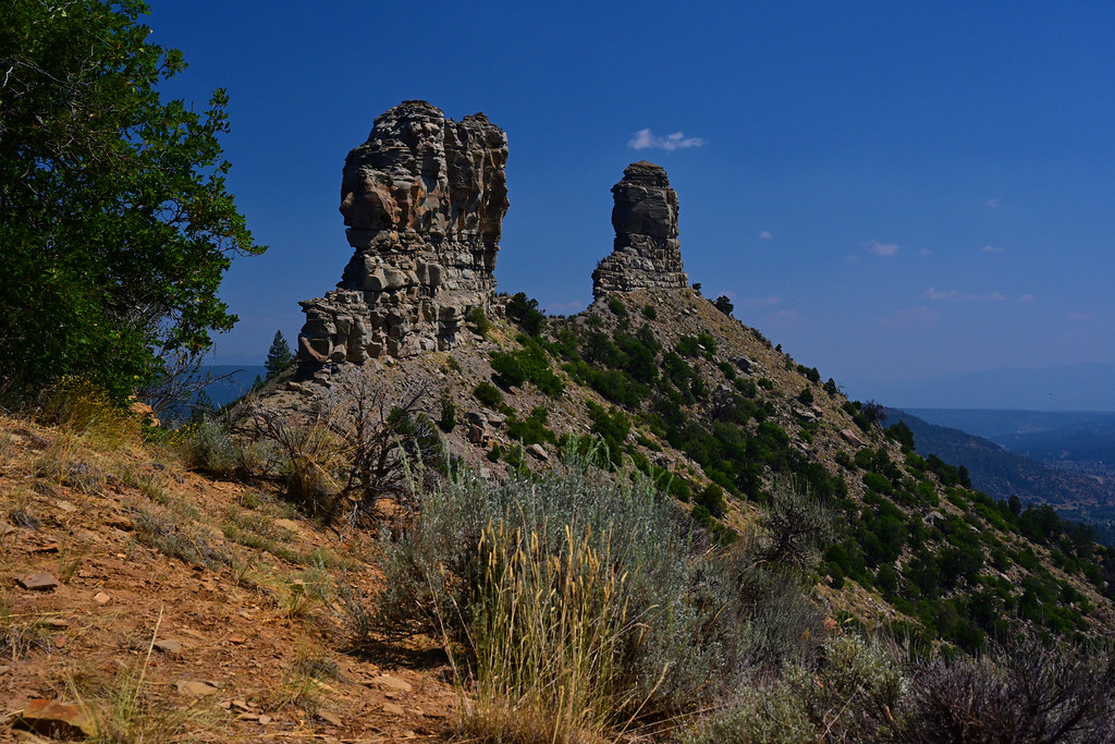 Great HouseHiking · ~32 min drivePhoto: stevehfung, CC BY-SA 2.0 (via Flickr)
- Little Bull Creek TrailHiking · ~30 min drive
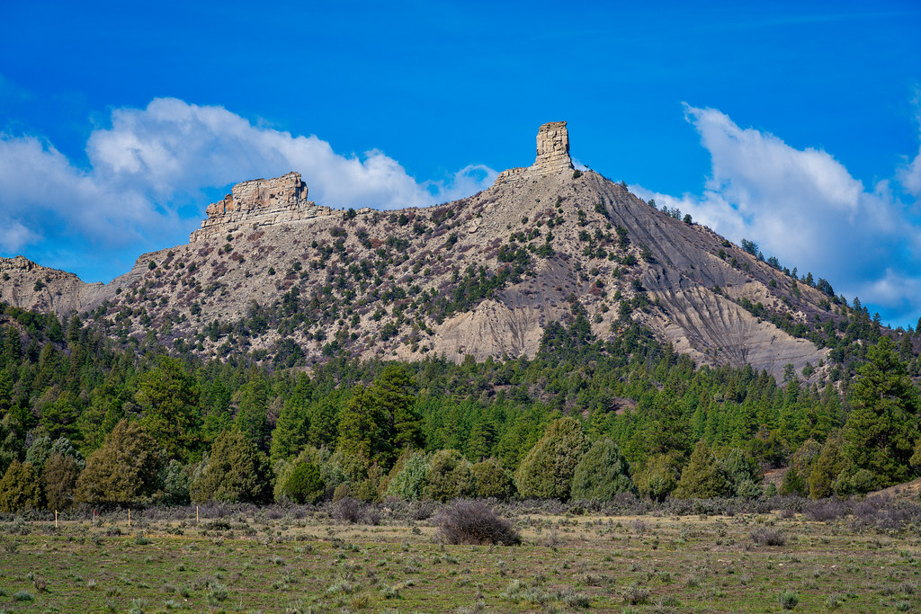 Chimney Rock Nature TrailHiking · ~31 min drivePhoto: Mobilus In Mobili, CC BY-SA 2.0 (via Flickr)
- GREEN CANYONHiking · ~33 min drive
- Cottonwood Canyon TrailHiking · ~6 min drive
- Bull Creek TrailHiking · ~34 min drive
Best time to visit Pecho de la Doncella Trail
Best months: May–June and August–October. Best months have typical highs of 55–85 °F, lows of 30 °F or warmer (32 °F where the station doesn't record snow), at most one snowy day and no more than 12 wet days.
Jan
38° / 11°
7 wet · 6 snow
Feb
44° / 16°
6 wet · 5 snow
Mar
54° / 21°
6 wet · 4 snow
Apr
62° / 27°
5 wet · 1 snow
May
71° / 36°
5 wet
Jun
82° / 44°
4 wet
Jul
86° / 52°
9 wet
Aug
84° / 50°
10 wet
Sep
76° / 43°
8 wet
Oct
64° / 30°
7 wet
Nov
51° / 21°
6 wet · 2 snow
Dec
39° / 12°
7 wet · 5 snow
Typical high / low (°F) and days with rain or snow, 1991–2020. Measured at Ignacio 6ese, CO, 15.7 mi away at 6,548 ft. Source: NOAA NCEI U.S. Climate Normals 1991–2020.
Route details
- Distance
- 0.5 mi round trip
- Climbing
- About 228 ft
- Summit
- 6,843 ft
- Difficulty
- Easy
- Time
- About 0 hours
Questions about this route
How long is the Pecho de la Doncella Trail on Pecho de la Doncella?
About 0.5 mi round trip.
How much elevation gain is on the Pecho de la Doncella Trail?
About 228 ft of climbing round trip.
How hard is the Pecho de la Doncella Trail?
It is rated easy.
How long does the Pecho de la Doncella Trail take?
About 0 hours round trip.
Map and trail data © OpenStreetMap contributors
