Chicosa Trail
- 0.4 mi
- round trip
- 106 ft
- climb
- 7,204 ft
- high point
- Out and back
- route
- May–Jun, Sep
- best months
Is Chicosa Trail open right now?
Alert in the area
The Forest Service lists 4 alerts for Carson National Forest.
High-Elevation Snow Conditions
Agency alert covering Carson National Forest · USFS · Carson National Forest
Post-Storm Road Conditions
Agency alert covering Jicarilla Ranger District · USFS · Jicarilla Ranger District
Current Prescribed Fire Activity and Plans
Agency alert covering Carson National Forest · USFS · Carson National Forest
Current Fire Restrictions and Related Prohibitions
Agency alert covering Carson National Forest · USFS · Carson National Forest
As of · Source: USFS · Carson National Forest. Agencies don't list every closure — check before you go.
Chicosa Trail is an easy, out-and-back hike in the Jicarilla Ranger District of Carson National Forest in northern New Mexico. It is a short outing of about 0.7 miles, with a round trip of about 106 feet of total gain and loss. The trail begins at about 7,130 feet and reaches a high point of about 7,204 feet. The steepest stretch comes at about 0.26 miles, with a grade of about 4 percent. For comfortable weather, late spring and early fall are the best bets. Typical averages from the nearby Dulce, NM weather station show May highs around 74°F and September highs around 79°F, while July and August run hotter and wetter. The trail is managed by the Forest Service, and the trip takes about half an hour. Cottonwood Canyon Trail is about 8 miles away, and Pecho de la Doncella Trail is about 8 miles away.
Local outfitters
- Wilderness Journeys Pagosa29 mi away
- Pagosa Pines RV Park30 mi away
Not on Roamze yet. Their page has how to reach them.
Source: Roamze catalog (indexable pages within 10 miles, PostGIS distance)
 Watchable Wildlife Overlook TrailHiking · ~29 min drivePhoto: Dicklyon, CC BY-SA 4.0 (via Wikimedia Commons)
- Navajo Lake TrailsHiking · ~31 min drive
- Navajo Lake Horse Trail 83Hiking · ~39 min drive
- GopherHiking · ~48 min drive
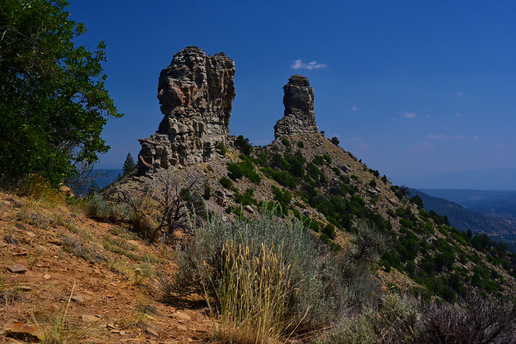 Great HouseHiking · ~40 min drivePhoto: stevehfung, CC BY-SA 2.0 (via Flickr)
- Little Bull Creek TrailHiking · ~39 min drive
- Blue Creek Winter TrailHiking · ~47 min drive
- MULE MOUNTAINHiking · ~46 min drive
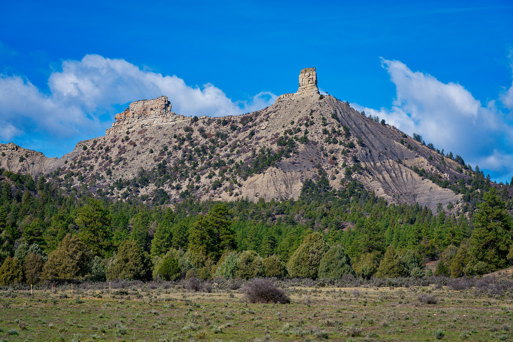 Chimney Rock Nature TrailHiking · ~38 min drivePhoto: Mobilus In Mobili, CC BY-SA 2.0 (via Flickr)
- Bull Creek TrailHiking · ~44 min drive
Best time to visit Chicosa Trail
Best months: May–June and September. Best months have typical highs of 55–85 °F, lows of 30 °F or warmer (32 °F where the station doesn't record snow), at most one snowy day and no more than 12 wet days.
Jan
44° / 10°
7 wet
Feb
48° / 16°
8 wet
Mar
57° / 22°
8 wet
Apr
64° / 27°
7 wet
May
74° / 34°
7 wet
Jun
84° / 41°
6 wet
Jul
88° / 50°
11 wet
Aug
85° / 49°
13 wet
Sep
79° / 41°
9 wet
Oct
68° / 29°
7 wet
Nov
54° / 20°
6 wet
Dec
44° / 12°
8 wet
Typical high / low (°F) and days with rain or snow, 1991–2020. Measured at Dulce, NM, 13 mi away at 6,793 ft. This station doesn't record snowfall. Source: NOAA NCEI U.S. Climate Normals 1991–2020.
Map and trail data © OpenStreetMap contributors
