Mule Mountain
- 5.6 mi
- round trip
- 2,288 ft
- climb
- 9,751 ft
- high point
- Out and back
- route
- Jun–Jul, Sep
- best months
Is MULE MOUNTAIN open right now?
Closure in the area
There's a closure order in San Juan National Forest. It doesn't name MULE MOUNTAIN, so check the source for the area it covers (3 listed).
Travel is not advised to the San Juan NF
Agency closure covering San Juan National Forest · USFS · San Juan National Forest
Closures and dangerous conditions on roads, bridges, and trails from flooding
Agency closure covering San Juan National Forest · USFS · San Juan National Forest
Multiple roads and trails damaged by flooding on SJNF
Agency closure covering San Juan National Forest · USFS · San Juan National Forest
Bear Activity High Across San Juan National Forest
Agency alert covering San Juan National Forest · USFS · San Juan National Forest
West Fork Road and Bridge Closure Order
Agency alert covering Pagosa Ranger District · Order 02-13-06-25-19 · USFS · Pagosa Ranger District
As of · Source: USFS · San Juan National Forest. Agencies don't list every closure — check before you go.
Mule Mountain is a hard hike in Colorado's San Juan National Forest, within the Pagosa Ranger District. The route is an out-and-back of about 11 miles, with a total elevation gain of 2,288 feet, and it reaches a high point of 9,751 feet. The trail starts at about 8,291 feet, and the steepest stretch comes at about 4 miles in, where the grade reaches 23%. Summer is the most comfortable time to go. Typical averages from a nearby weather station at a similar elevation show July highs around 76°F with lows near 42°F, while winter brings highs in the mid-30s and regular snow days from December through March. The Mule Mountain Trail and the Mule Mountain Spur 1 Trail both lie within a third of a mile of the route. Lower Piedra Campground and Ute Campground are each about 2.5 miles away.
Local outfitters
- Wilderness Journeys Pagosa13 mi away
- Pagosa Pines RV Park15 mi away
Not on Roamze yet. Their page has how to reach them.
Conditions and forecast on Mule Mountain
Daily highs and lows, wind and the chance of precipitation at the summit and route start for the next 7 days, from the Open-Meteo model.
- Mule Mountain TrailHiking0.2 mi
- Mule Mountain Spur 1 TrailHiking0.3 mi
- Mule Mtn. Spur 2 TrailHiking1.5 mi
- Lower Piedra CampgroundCamping2.4 mi
- Ute CampgroundCamping2.5 mi
- Devil CreekCanoeing3.5 mi
- Piedra Camp 1Camping4.4 mi
 Stollsteimer CreekCanoeingPhoto: Dicklyon, CC BY-SA 4.0 (via Wikimedia Commons)4.6 mi
Source: Roamze catalog (indexable pages within 10 miles, PostGIS distance)
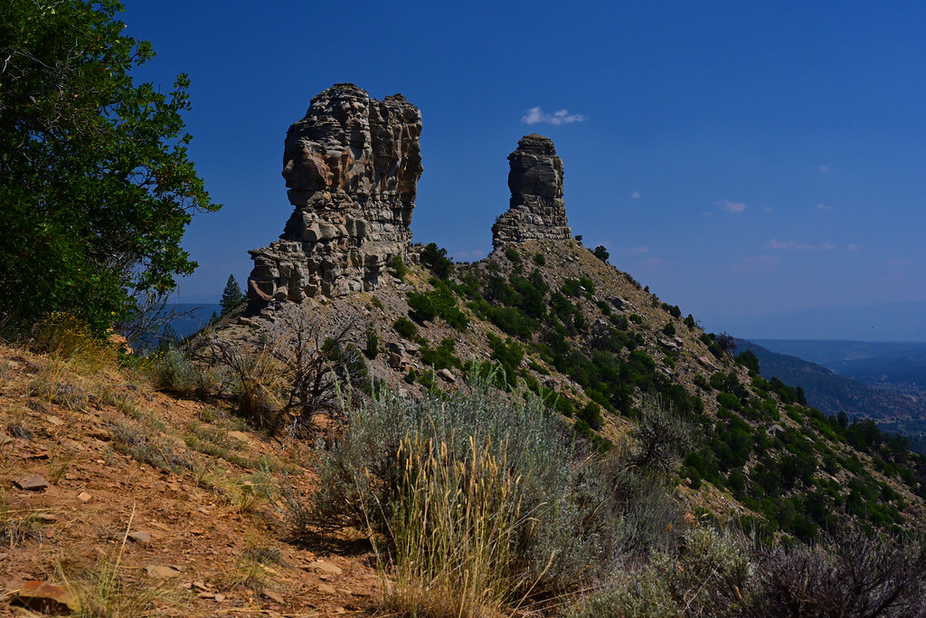 Great HouseHiking · ~6 min drivePhoto: stevehfung, CC BY-SA 2.0 (via Flickr)
- Horse Creek TrailHiking · ~4 min drive
- Snow Springs TrailHiking · ~7 min drive
- Snow Ranch C TrailHiking · ~7 min drive
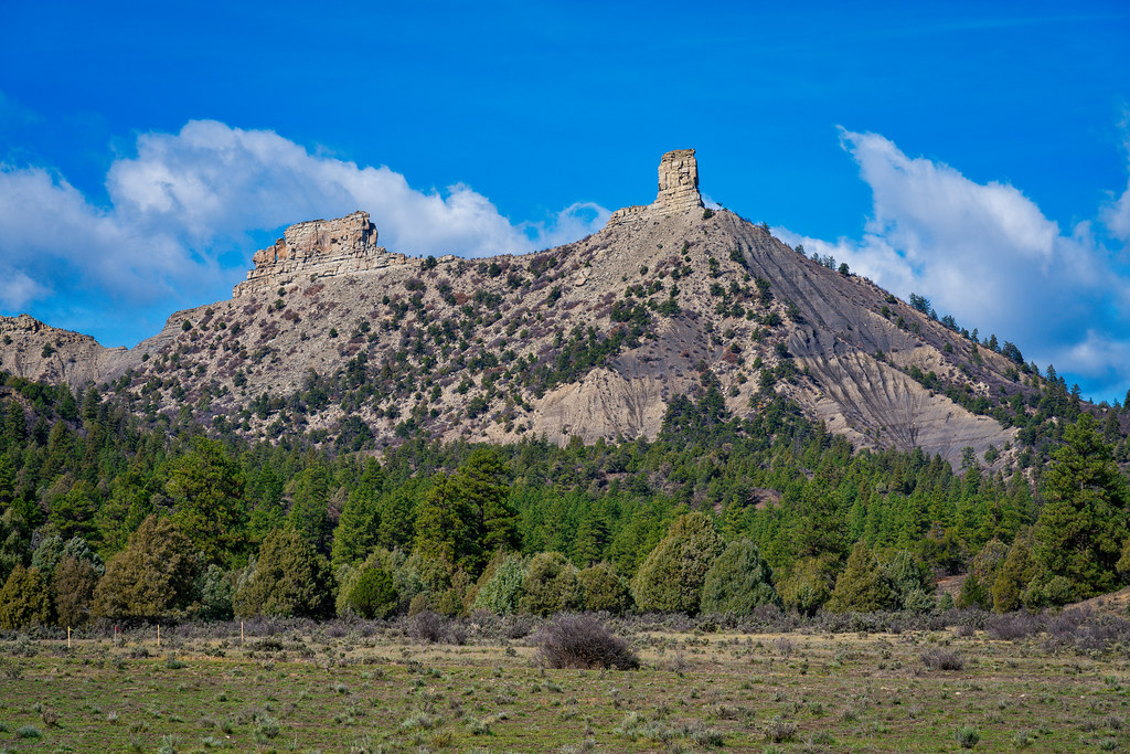 Chimney Rock Nature TrailHiking · ~8 min drivePhoto: Mobilus In Mobili, CC BY-SA 2.0 (via Flickr)
- Elk Creek TrailHiking · ~5 min drive
- Devils HoleHiking · ~8 min drive
- Double G TrailHiking · ~7 min drive
- Mule Mountain TrailHiking · Next door
- Devil Mountain TrailHiking · ~6 min drive
Also worth it near here
Best time to visit MULE MOUNTAIN
Best months: June–July and September. Best months have typical highs of 55–85 °F, lows of 30 °F or warmer (32 °F where the station doesn't record snow), at most one snowy day and no more than 12 wet days.
Jan
34° / -4°
4 wet · 4 snow
Feb
37° / -2°
4 wet · 4 snow
Mar
43° / 9°
5 wet · 5 snow
Apr
50° / 20°
6 wet · 5 snow
May
60° / 29°
5 wet · 2 snow
Jun
71° / 36°
5 wet
Jul
76° / 42°
11 wet
Aug
73° / 41°
13 wet
Sep
68° / 35°
9 wet
Oct
58° / 25°
6 wet · 2 snow
Nov
44° / 12°
4 wet · 3 snow
Dec
34° / -3°
4 wet · 3 snow
Typical high / low (°F) and days with rain or snow, 1991–2020. Measured at Rio Grande Rsvr, CO, 33 mi away at 9,492 ft. Source: NOAA NCEI U.S. Climate Normals 1991–2020.

Route details
- Distance
- 5.6 mi round trip
- Climbing
- About 2,288 ft
- Summit
- 8,929 ft
- Difficulty
- Hard
- Time
- About 3 hours
Other routes up Mule Mountain
Questions about this route
How long is the MULE MOUNTAIN on Mule Mountain?
About 5.6 mi round trip.
How much elevation gain is on the MULE MOUNTAIN?
About 2,288 ft of climbing round trip.
How hard is the MULE MOUNTAIN?
It is rated hard.
How long does the MULE MOUNTAIN take?
About 3 hours round trip.
How many routes go up Mule Mountain?
2: Mule Mtn. Spur 2 Trail and MULE MOUNTAIN.
