Middle loop of High Desert Trail System
- 3.4 mi
- loop
- 520 ft
- climb
- 6,740 ft
- high point
- Loop
- route
- May, Sep
- best months
The Middle loop of the High Desert Trail System is a 3.4-mile loop in western New Mexico, about 1.3 miles from the town of Mentmore. It is an easy hike with a steady climb of about 520 feet, rising from roughly 6,666 feet to a high point of 6,740 feet before returning to the starting elevation. The steepest stretch comes at about 1.8 miles in, with a grade of about 7 percent. Spring and fall are the most comfortable times to go. Typical averages from a nearby weather station in Gallup show May highs around 75°F and October highs around 68°F, while July and August average in the upper 80s and bring the most wet days of the year. The hike takes about 1.5 hours. The Western loop of the High Desert Trail System lies less than a mile away, and the Mentmore entrance to the High Desert Trail System is about 1.1 miles off. Climbers can find Wu Wall about 2.3 miles away, and the Large loop of the High Desert Trail System is about 2.9 miles away.
Local outfitters
- El Morro RV Park & Cabins44 mi away
Not on Roamze yet. Their page has how to reach them.
- Western loop of High Desert Trail SystemHiking0.8 mi
- Mentmore entrance to High Desert Trail SystemHiking1.1 mi
- Wu WallRock climbing2.3 mi
- (01) East Corridor WallRock climbing2.4 mi
- (04) The BalconyRock climbing2.4 mi
- (05) The Open Face WallRock climbing2.4 mi
- Large loop of the High Desert Trail SystemHiking2.9 mi
- Eastern loop of High Desert Trail SystemHiking2.9 mi
Source: Roamze catalog (indexable pages within 10 miles, PostGIS distance)
 Pyramid Rock TrailHiking · ~22 min drivePhoto: dconvertini, CC BY-SA 2.0 (via Flickr)
- Large loop of the High Desert Trail SystemHiking · ~5 min drive
- QuasimodoHiking · ~29 min drive
 Church Rock LoopHiking · ~22 min drivePhoto: kalestews, CC BY 2.0 (via Flickr)
- Northeastern portion of High Desert Trail SystemHiking · ~8 min drive
- Milk RanchHiking · ~29 min drive
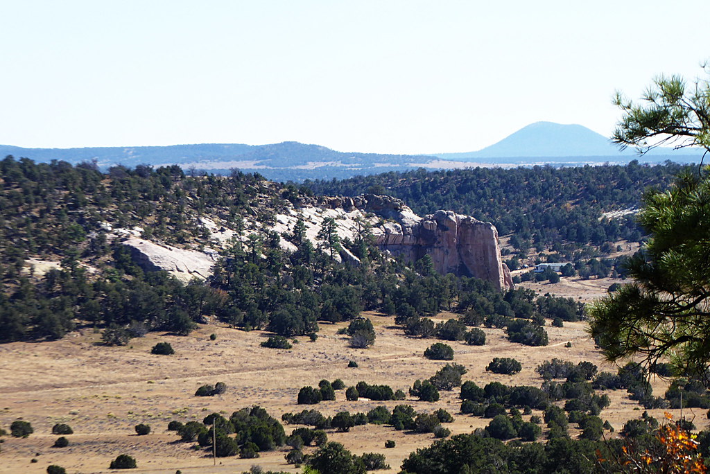 Inscription Rock Trail LoopHiking · ~1h 15m drivePhoto: volkerschmidt2, Public Domain Dedication (CC0) (via Flickr)
- Smokin HandlebarHiking · ~29 min drive
- Purple HazeHiking · ~29 min drive
- Mesa Top Trail LoopHiking · ~1h 15m drivePhoto: volkerschmidt2, Public Domain Dedication (CC0) (via Flickr)
Best time to visit Middle loop of High Desert Trail System
Best months: May and September. Best months have typical highs of 55–85 °F, lows of 30 °F or warmer (32 °F where the station doesn't record snow), at most one snowy day and no more than 12 wet days.
Jan
45° / 14°
6 wet
Feb
50° / 19°
6 wet
Mar
59° / 23°
6 wet
Apr
66° / 28°
4 wet
May
75° / 36°
4 wet
Jun
86° / 45°
4 wet
Jul
89° / 54°
9 wet
Aug
86° / 53°
11 wet
Sep
80° / 44°
7 wet
Oct
68° / 31°
5 wet
Nov
56° / 20°
5 wet
Dec
45° / 14°
6 wet
Typical high / low (°F) and days with rain or snow, 1991–2020. Measured at Gallup Muni Ap, NM, 2.5 mi away at 6,471 ft. This station doesn't record snowfall. Source: NOAA NCEI U.S. Climate Normals 1991–2020.
Map and trail data © OpenStreetMap contributors
