Meadows Trail #53
- 6.0 mi
- round trip
- 1,360 ft
- climb
- 7,608 ft
- high point
- Out and back
- route
- Apr–May, Aug–Oct
- best months
Is Meadows Trail #53 open right now?
Closure in the area
There's a closure order in Gila National Forest. It doesn't name Meadows Trail #53, so check the source for the area it covers.
Beaverhead Water Non-Potable
Agency closure covering Gila National Forest · USFS · Gila National Forest
Harmful algae detected in Lake Roberts
Agency alert covering Gila National Forest · USFS · Gila National Forest
Potentially Dangerous Animal Encounters
Agency alert covering Gila National Forest · USFS · Gila National Forest
As of · Source: USFS · Gila National Forest. Agencies don't list every closure — check before you go.
Meadows Trail #53 is a 6-mile hike in the Wilderness Ranger District of Gila National Forest in New Mexico. It is an out-and-back route that rises from about 6,270 feet to roughly 7,608 feet, a climb of about 1,360 feet one way over a total distance of about 12 miles. The most comfortable months are typically late spring and early fall. At Winston, NM, a nearby weather station about 39 miles away, May and September average highs around 79°F with lows in the low 40s. Summer is hotter and wetter, with July highs near 87°F and about 9 wet days. Several other trails start close by. Homestead is about 0.1 mile away, Sam Martin is about 0.7 mile away, and Meadow is about 0.8 mile away. For an overnight stay, Wolf Hollow Campground lies about 8 miles off.
Local outfitters
- Silver City RV Park41 mi away
Not on Roamze yet. Their page has how to reach them.
- HomesteadHiking0.1 mi
- Sam MartinHiking0.7 mi
- MeadowHiking0.8 mi
- Sam Martin Trail #23Hiking1.2 mi
- Green Fly Trail #26Hiking1.2 mi
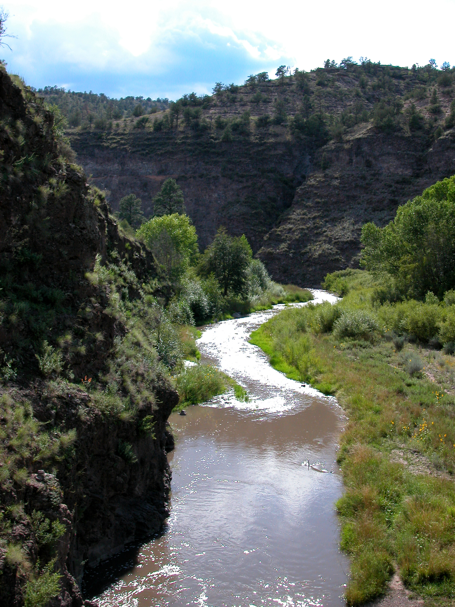 Middle Fork Gila RiverCanoeingPhoto: Joe Burgess, Public domain (via Wikimedia Commons)3.9 mi
- Wolf Hollow CampgroundCamping7.9 mi
 West Fork Gila RiverCanoeingPhoto: Chris M Morris, CC BY 2.0 (via Wikimedia Commons)8.4 mi
Source: Roamze catalog (indexable pages within 10 miles, PostGIS distance)
 Lilley ParkHiking · ~16 min drivePhoto: Chris M Morris, CC BY 2.0 (via Wikimedia Commons)
- Ee CanyonHiking · ~17 min drivePhoto: Chris M Morris, CC BY 2.0 (via Wikimedia Commons)
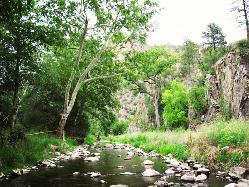 West Fork ShortcutHiking · ~18 min drivePhoto: cm195902, CC BY 2.0 (via Flickr)
- Lilley Park Trail #164Hiking · ~16 min drive
- Big Bear Canyon Trail #28Hiking · ~16 min drivePhoto: Chris M Morris, CC BY 2.0 (via Wikimedia Commons)
- Sam Martin Trail #23Hiking · ~2 min drive
- MeadowHiking · ~1 min drive
- Ring Canyon TrailHiking · ~17 min drive
- Sam MartinHiking · ~1 min drive
- Cassidy Trail #25Hiking · ~7 min drive
Best time to visit Meadows Trail #53
Best months: April–May and August–October. Best months have typical highs of 55–85 °F, lows of 30 °F or warmer (32 °F where the station doesn't record snow), at most one snowy day and no more than 12 wet days.
Jan
53° / 20°
2 wet · 1 snow
Feb
57° / 23°
2 wet · 1 snow
Mar
64° / 27°
2 wet
Apr
71° / 34°
1 wet
May
79° / 41°
2 wet
Jun
89° / 50°
4 wet
Jul
87° / 56°
9 wet
Aug
84° / 54°
10 wet
Sep
79° / 47°
6 wet
Oct
71° / 35°
3 wet
Nov
60° / 25°
2 wet
Dec
52° / 19°
3 wet · 1 snow
Typical high / low (°F) and days with rain or snow, 1991–2020. Measured at Winston, NM, 38.8 mi away at 6,196 ft. The station sits about 1,400 ft lower than this place, so expect it a little cooler here. Source: NOAA NCEI U.S. Climate Normals 1991–2020.
Map and trail data © OpenStreetMap contributors
