Lilley Park Trail #164
- 19.0 mi
- round trip
- 3,095 ft
- climb
- 8,923 ft
- high point
- Out and back
- route
Is Lilley Park Trail #164 open right now?
Closure in the area
There's a closure order in Gila National Forest. It doesn't name Lilley Park Trail #164, so check the source for the area it covers.
Beaverhead Water Non-Potable
Agency closure covering Gila National Forest · USFS · Gila National Forest
Harmful algae detected in Lake Roberts
Agency alert covering Gila National Forest · USFS · Gila National Forest
Potentially Dangerous Animal Encounters
Agency alert covering Gila National Forest · USFS · Gila National Forest
As of · Source: USFS · Gila National Forest. Agencies don't list every closure — check before you go.
Lilley Park Trail #164 is a 38-mile out-and-back hike in the Gila Wilderness, part of the Wilderness Ranger District of Gila National Forest in New Mexico. The trail climbs from a low point of 7,127 feet to a high of 8,923 feet, a total gain of 3,095 feet, and is rated expert. The Forest Service manages the land. The route is long and steep, and the high point sits well above the low. The trail is a wilderness route, so plan for a full day or more on foot. Trotter Trail #30 starts just 0.1 mile away. Horse Springs and Clear Creek are both within about 3 miles. Paddlers can reach the West Fork Gila River, about 5.7 miles off.
Local outfitters
- Silver City RV Park37 mi away
- Burro Mountain Homestead RV Park47 mi away
Not on Roamze yet. Their page has how to reach them.
- Trotter Trail #30Hiking0.1 mi
- Horse SpringsHiking2.5 mi
- Clear CreekHiking2.7 mi
- LangstrothHiking2.9 mi
 West Fork Gila RiverCanoeingPhoto: Chris M Morris, CC BY 2.0 (via Wikimedia Commons)5.7 mi
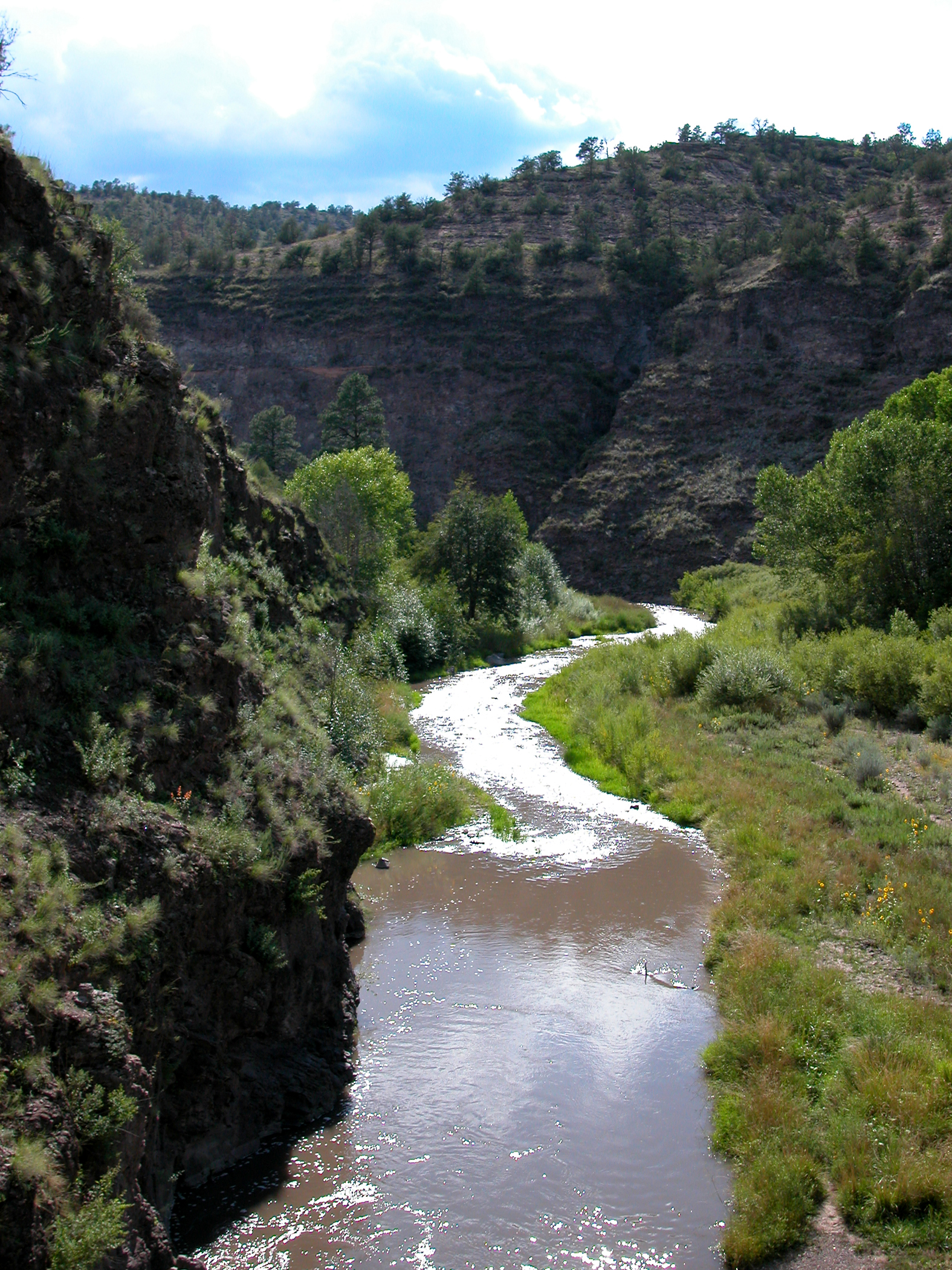 Middle Fork Gila RiverCanoeingPhoto: Joe Burgess, Public domain (via Wikimedia Commons)6.3 mi
- Snow LakeLake fishing8.7 mi
- Snow Lake Boat LaunchLake fishing8.8 mi
Source: Roamze catalog (indexable pages within 10 miles, PostGIS distance)
- Horse SpringsHiking · ~4 min drive
- Clear CreekHiking · ~5 min drive
- Prior Creek Trail #156Hiking · ~5 min drive
- Turkey Creek Trail #155Hiking · ~6 min drive
- Hells Hole BypassHiking · ~6 min drive
- LangstrothHiking · ~5 min drive
- Ring Canyon Trail #162Hiking · ~9 min drive
- Turkeyfeather Mountain Trail #102Hiking · ~11 min drive
- Mckenna CreekHiking · ~9 min drive
- West Fork CorralHiking · ~7 min drive
Map and trail data © OpenStreetMap contributors
