Cassidy Trail #25
- 4.3 mi
- round trip
- 1,610 ft
- climb
- 8,969 ft
- high point
- Out and back
- route
Is Cassidy Trail #25 open right now?
Closure in the area
There's a closure order in Gila National Forest. It doesn't name Cassidy Trail #25, so check the source for the area it covers.
Beaverhead Water Non-Potable
Agency closure covering Gila National Forest · USFS · Gila National Forest
Harmful algae detected in Lake Roberts
Agency alert covering Gila National Forest · USFS · Gila National Forest
Potentially Dangerous Animal Encounters
Agency alert covering Gila National Forest · USFS · Gila National Forest
As of · Source: USFS · Gila National Forest. Agencies don't list every closure — check before you go.
Cassidy Trail #25 is a 4.25-mile moderate hike in the Gila Wilderness, part of the Wilderness Ranger District of Gila National Forest in New Mexico. The trail is an out-and-back that climbs from about 7,423 feet to 8,969 feet, a total gain of 1,610 feet over a round trip of about 8.5 miles. The route lies entirely within designated wilderness, and the Forest Service manages the surrounding land. The trail's high point makes it a natural destination for a day of climbing in the backcountry of the Gila. The Tanks hike starts just 0.4 miles away, and the White Rocks Trail and Cassidy are both within about 2.3 miles. For paddling, the Middle Fork Gila River is about 4.3 miles off.
Local outfitters
- Silver City RV Park38 mi away
Not on Roamze yet. Their page has how to reach them.
- TanksHiking0.4 mi
- White Rocks TrailHiking2.2 mi
- CassidyHiking2.3 mi
- Sam Martin Trail #23Hiking2.9 mi
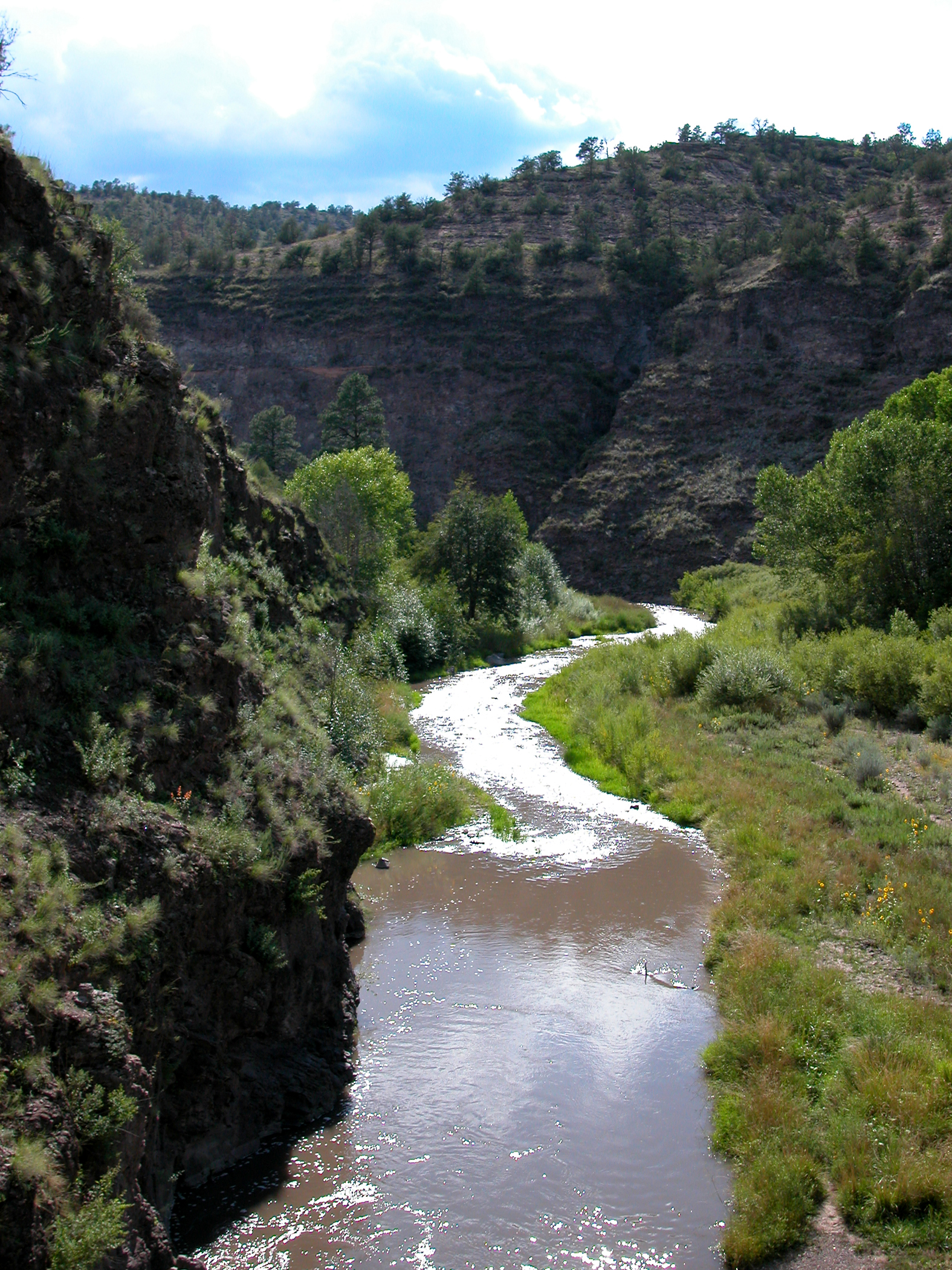 Middle Fork Gila RiverCanoeingPhoto: Joe Burgess, Public domain (via Wikimedia Commons)4.3 mi
 West Fork Gila RiverCanoeingPhoto: Chris M Morris, CC BY 2.0 (via Wikimedia Commons)7.3 mi
- Wolf Hollow CampgroundCamping7.8 mi
- East Fork Gila RiverCanoeing9.5 mi
Source: Roamze catalog (indexable pages within 10 miles, PostGIS distance)
 Lilley ParkHiking · ~10 min drivePhoto: Chris M Morris, CC BY 2.0 (via Wikimedia Commons)
- Ee CanyonHiking · ~12 min drivePhoto: Chris M Morris, CC BY 2.0 (via Wikimedia Commons)
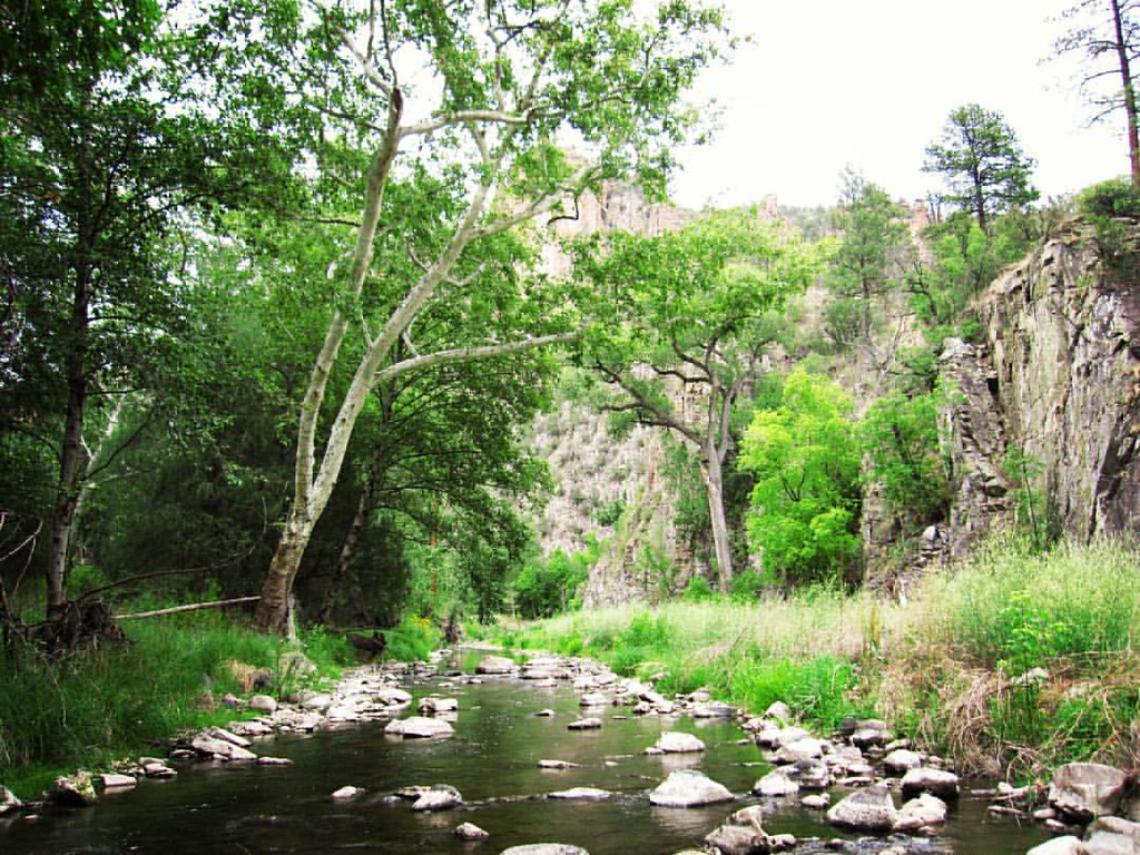 Grand Enchantment TrailHiking · ~12 min drivePhoto: cm195902, CC BY 2.0 (via Flickr)
- Green Fly Trail #26Hiking · ~5 min drive
- Big Bear Canyon Trail #28Hiking · ~11 min drivePhoto: Chris M Morris, CC BY 2.0 (via Wikimedia Commons)
 Little Bear Canyon Trail #729Hiking · ~13 min drivePhoto: cm195902, CC BY 2.0 (via Flickr)
- West Fork ShortcutHiking · ~12 min drivePhoto: cm195902, CC BY 2.0 (via Flickr)
- White Rocks TrailHiking · ~4 min drive
- Sam Martin Trail #23Hiking · ~5 min drive
- Grand Enchantment TrailHiking · ~13 min drivePhoto: cm195902, CC BY 2.0 (via Flickr)
Map and trail data © OpenStreetMap contributors
