Maverick Campground
Campground
Campground · 0.4 mi from the trail
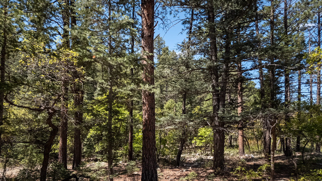 Photo: Alexander Hatley, CC BY 2.0 (via Flickr)
Maverick Canyon Trail is an easy out-and-back hike in New Mexico, set within the Colin Neblett Wildlife Management Area. The trail is managed by State Fish and Wildlife, and it starts at the high point of 7,985 feet, with the low point of the route at 7,539 feet. The total climb is 683 feet, and the steepest section comes about 0.37 miles in, with a grade of about 19 percent. The route is about 1.7 miles long, and the round trip takes roughly an hour. It works well as a short outing in the high country. The most comfortable stretch for a visit is typically late spring or early fall. Typical averages from the nearby Eagle Nest weather station show May highs around 66°F and September highs around 72°F, with July and August bringing the most wet days of the year. Several other trails sit close by. The Maverick Trail is about 0.6 miles away, and the Clear Creek Trail is about 2.5 miles away. Climbers can find Probe 1 about 5 miles off, and Webster Parks Camp offers camping roughly 4.7 miles away.
Maverick Campground
Campground
Places © OpenStreetMap contributors, Places © Overture Maps Foundation
More in Arroyo SecoNot on Roamze yet. Their page has how to reach them.
Maverick TrailHikingPhoto: Alexander Hatley, CC BY 2.0 (via Flickr)0.6 mi Clear Creek TrailHikingPhoto: Alexander Hatley, CC BY 2.0 (via Flickr)2.5 mi
Source: Roamze catalog (indexable pages within 10 miles, PostGIS distance)
Maverick TrailHiking · ~1 min drivePhoto: Alexander Hatley, CC BY 2.0 (via Flickr)Clear Creek TrailHiking · ~4 min drivePhoto: Alexander Hatley, CC BY 2.0 (via Flickr) Lower Tolby TrailHiking · ~8 min drivePhoto: Alan Gross, CC BY-SA 3.0 (via Wikimedia Commons)
Best months: May–June and September. Best months have typical highs of 55–85 °F, lows of 30 °F or warmer (32 °F where the station doesn't record snow), at most one snowy day and no more than 12 wet days.
Jan
39° / 5°
7 wet
Feb
42° / 10°
7 wet
Mar
49° / 18°
8 wet
Apr
56° / 24°
8 wet
May
66° / 32°
7 wet
Jun
77° / 38°
9 wet
Jul
79° / 44°
15 wet
Aug
77° / 43°
15 wet
Sep
72° / 35°
9 wet
Oct
62° / 25°
6 wet
Nov
49° / 15°
6 wet
Dec
39° / 6°
7 wet
Typical high / low (°F) and days with rain or snow, 1991–2020. Measured at Eagle Nest, NM, 6.8 mi away at 8,280 ft. This station doesn't record snowfall. Source: NOAA NCEI U.S. Climate Normals 1991–2020.
Map and trail data © OpenStreetMap contributors
