Tolby Campground
Campground
Campground · 0.3 mi from the trail
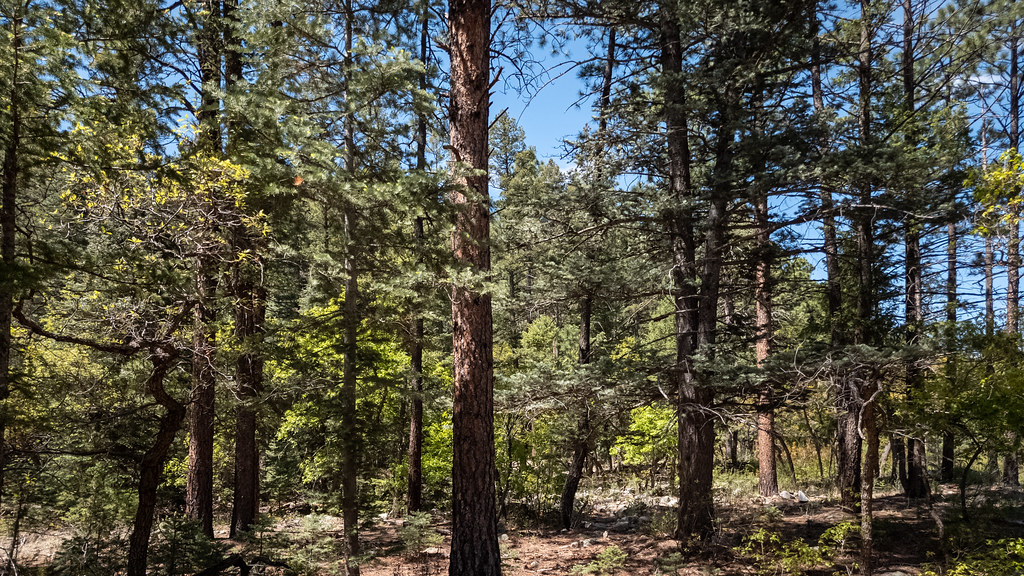
 Photo: Alan Gross, CC BY-SA 3.0 (via Wikimedia Commons)
Lower Tolby Trail is a moderate out-and-back hike in Cimarron Canyon State Park in New Mexico, managed by State Park and Recreation. The trail is about 6.5 miles long, with a total elevation gain of 2,114 feet, and it starts and ends at about 8,141 feet, reaching a high point of 9,282 feet. The steepest stretch comes early, around the 0.9-mile mark, where the grade reaches about 15%. For comfortable weather, aim for late spring or early fall. Typical averages from the nearby Eagle Nest weather station, which sits about 1,000 feet lower, show May highs around 66°F and September highs around 72°F. July and August are warmer but also wetter, with about 15 wet days a month. The hike takes about three hours. Eagle Nest Trail is about 2.3 miles away, and Clear Creek Trail and North Lake Trail are each about 2.7 miles off. For an overnight stay, Webster Parks Camp is about 8.4 miles away.
Tolby Campground
Campground
 If it rainsKhlnmusa, CC BY-SA 3.0 · Wikimedia Commons
Places © OpenStreetMap contributors, Places © Overture Maps Foundation · Photos: Khlnmusa, CC BY-SA 3.0 (commons)
More in Arroyo SecoNot on Roamze yet. Their page has how to reach them.
 Eagle Nest TrailHikingPhoto: Alexander Hatley, CC BY 2.0 (via Flickr)2.3 mi
 Clear Creek TrailHikingPhoto: Alexander Hatley, CC BY 2.0 (via Flickr)2.7 mi
 North Lake TrailHikingPhoto: Motapics, CC BY 2.0 (via Flickr)2.7 mi
 Maverick Canyon TrailHikingPhoto: Alexander Hatley, CC BY 2.0 (via Flickr)4.7 miMaverick TrailHikingPhoto: Alexander Hatley, CC BY 2.0 (via Flickr)5.3 mi
Source: Roamze catalog (indexable pages within 10 miles, PostGIS distance)
Eagle Nest TrailHiking · ~4 min drivePhoto: Alexander Hatley, CC BY 2.0 (via Flickr)North Lake TrailHiking · ~5 min drivePhoto: Motapics, CC BY 2.0 (via Flickr)Clear Creek TrailHiking · ~5 min drivePhoto: Alexander Hatley, CC BY 2.0 (via Flickr)Maverick Canyon TrailHiking · ~8 min drivePhoto: Alexander Hatley, CC BY 2.0 (via Flickr) Cooper Park to Baldy Town TrailHiking · ~12 min drivePhoto: sprague, CC BY 2.0 (via Flickr)Maverick TrailHiking · ~9 min drivePhoto: Alexander Hatley, CC BY 2.0 (via Flickr)
Best months: May–June and September. Best months have typical highs of 55–85 °F, lows of 30 °F or warmer (32 °F where the station doesn't record snow), at most one snowy day and no more than 12 wet days.
Jan
39° / 5°
7 wet
Feb
42° / 10°
7 wet
Mar
49° / 18°
8 wet
Apr
56° / 24°
8 wet
May
66° / 32°
7 wet
Jun
77° / 38°
9 wet
Jul
79° / 44°
15 wet
Aug
77° / 43°
15 wet
Sep
72° / 35°
9 wet
Oct
62° / 25°
6 wet
Nov
49° / 15°
6 wet
Dec
39° / 6°
7 wet
Typical high / low (°F) and days with rain or snow, 1991–2020. Measured at Eagle Nest, NM, 2.7 mi away at 8,280 ft. The station sits about 1,000 ft lower than this place, so expect it a little cooler here. This station doesn't record snowfall. Source: NOAA NCEI U.S. Climate Normals 1991–2020.
Map and trail data © OpenStreetMap contributors
