Las Trampas
- 23.3 mi
- round trip
- 2,786 ft
- climb
- 10,596 ft
- high point
- Out and back
- route
Is Las Trampas open right now?
Alert in the area
The Forest Service lists 3 alerts for Santa Fe National Forest.
Road Conditions
Agency alert covering Santa Fe National Forest · USFS · Santa Fe National Forest
Campground and Equestrian Area Closure for Field Tract and Jacks Creek
Agency alert covering Pecos-Las Vegas Ranger District · Order 03-10-05-26-12 · USFS · Pecos-Las Vegas Ranger District
Temporary area, road, and trail closures for Hermits Peak and Calf Canyon post-fire impacts
Agency alert covering Pecos-Las Vegas Ranger District · Order 03-10-05-26-05 · USFS · Pecos-Las Vegas Ranger District
As of · Source: USFS · Santa Fe National Forest. Agencies don't list every closure — check before you go.
Las Trampas is a hard hike in the Pecos-Las Vegas Ranger District of the Santa Fe National Forest in New Mexico, managed by State Fish and Wildlife. The nearest town is Grass Mountain Summer Home Area, about 1.5 miles away. The route is an out-and-back of about 23 miles, with a one-way elevation gain of 2,786 feet, taking you from a low point of about 7,928 feet to a high of about 10,596 feet. The trail is natural-surface and allows horses, but not bikes. That makes it a good fit for riders on horseback, though the climb is steep and the distance is long. The Pecos River is about 0.3 miles away, and Links Tract Campground is about 1.5 miles off. Holy Ghost and Cowles are both about 2.4 miles away.
Local outfitters
- Taos Mountain Outfitters44 mi away
Not on Roamze yet. Their page has how to reach them.
Keep exploring — more trails worth the drive
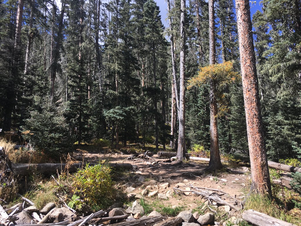 Photo: feverblue, CC BY-SA 2.0 (via Flickr)
Winsor Trail (254)
~9 min drive
0.66-mile out-and-back hike in New Mexico with 458 ft of elevation gain.
Photo: feverblue, CC BY-SA 2.0 (via Flickr)Lake Katherine
~9 min drive
3.65-mile out-and-back trail to Lake Katherine in New Mexico with 1,320 ft elevation gain.
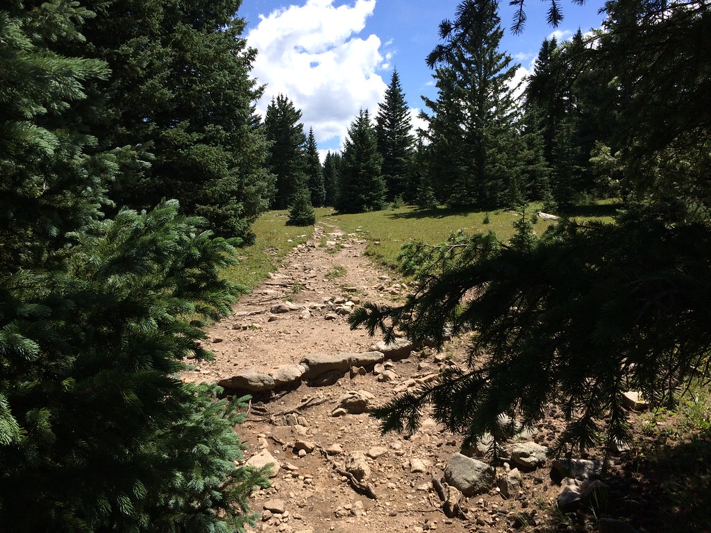 Photo: feverblue, CC BY-SA 2.0 (via Flickr)
Skyline Trail (251)
~10 min drive
3.52-mile out-and-back hike in New Mexico with 1,776 ft elevation gain.
 Photo: feverblue, CC BY-SA 2.0 (via Flickr)
Winsor Trail (254)
~14 min drive
8.64-mile out-and-back trail in New Mexico with 3,063 ft elevation gain and loss.
 Photo: feverblue, CC BY-SA 2.0 (via Flickr)
Stewart Lake
~9 min drive
0.74-mile out-and-back trail to Stewart Lake in New Mexico with 82 ft of elevation gain.
Photo: feverblue, CC BY-SA 2.0 (via Flickr)Lake Johnson
~10 min drive
3.50-mile out-and-back trail to Lake Johnson in New Mexico with 947 ft of elevation gain.
 Photo: Bryan Ungard from Santa Fe, New Mexico, USA, CC BY-SA 2.0 (via Wikimedia Commons)
Ravens Ridge
~11 min drive
4.18-mile out-and-back trail in New Mexico with 1,815 ft elevation gain
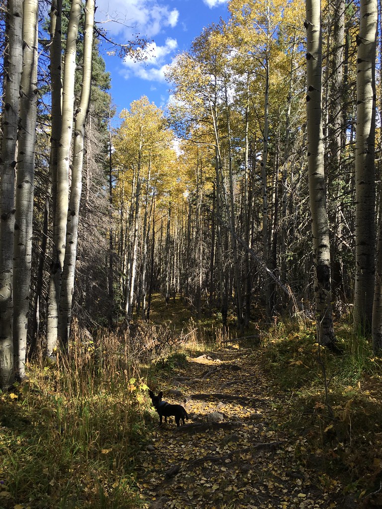 Photo: feverblue, CC BY-SA 2.0 (via Flickr)
Winsor Trail (254)
~7 min drive
12.86-mile out-and-back hike in New Mexico with 3,574 ft elevation gain and loss.
Photo: feverblue, CC BY-SA 2.0 (via Flickr)Winsor Trail (254)
~11 min drive
0.46-mile out-and-back trail in New Mexico with 166 ft of elevation gain.
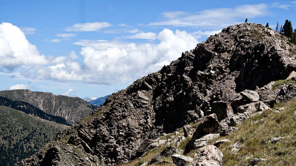 Photo: feverblue, CC BY-SA 2.0 (via Flickr)
Old Skyline Trail
~10 min drive
1.08-mile out-and-back hike in New Mexico with 442 ft elevation gain
