Juniper Campground Loop A
Campground
Campground · 1.2 mi from the trail
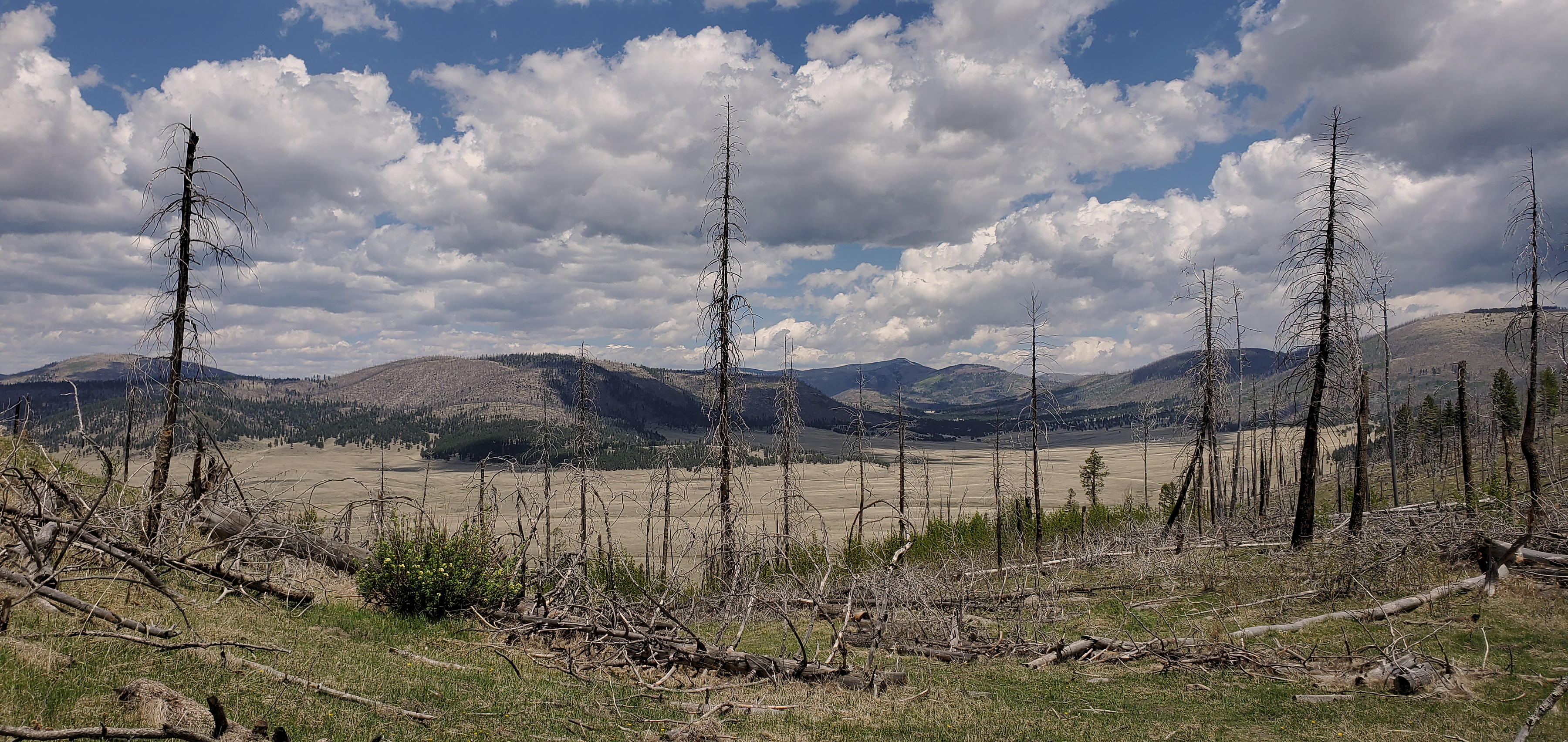 Photo: NPS
Clear today
Weather is good · OpenWeather · checked just now
Alert in the area
The National Park Service lists an alert for Bandelier National Monument.
The Use of GPS is NOT Recommended
Park alert covering Bandelier National Monument · NPS · Bandelier National Monument
As of · Source: NPS · Bandelier National Monument. Agencies don't list every closure — check before you go.
Frijoles Canyon is carved into a thick layer of volcanic ash that over time compacted into a soft rock known as tuff. This ash was deposited over 1 million years ago in two separate eruptions of the Jemez Volcano, each spewing over 600 times more ash than Mt St Helens in 1980. Tuff is a malleable rock overall and one component within the tuff, pumice, is especially susceptible to erosion by wind and water. Using this quality of the tuff, Ancestral Pueblo people used harder rock, such as basalt found further down this canyon and under the tuff, to enlarge natural erosional cavities into human excavated openings called cavates (CAVE-eights). You will be able to climb ladders into several of these further down the trail.If you are interested in learning more about this fantastic volcanic geology, visit the Valles Caldera National Preserve located about 40 minutes away on Highway 4. The Preserve protects the collapsed top (caldera) of the Jemez Volcano.
Juniper Campground Loop A
Campground
 If it rainsNewMexicophotographer1, CC BY-SA 4.0 · Wikimedia Commons
Places © OpenStreetMap contributors · Photos: NewMexicophotographer1, CC BY-SA 4.0 (commons)
More in Santo Domingo PuebloNot on Roamze yet. Their page has how to reach them.
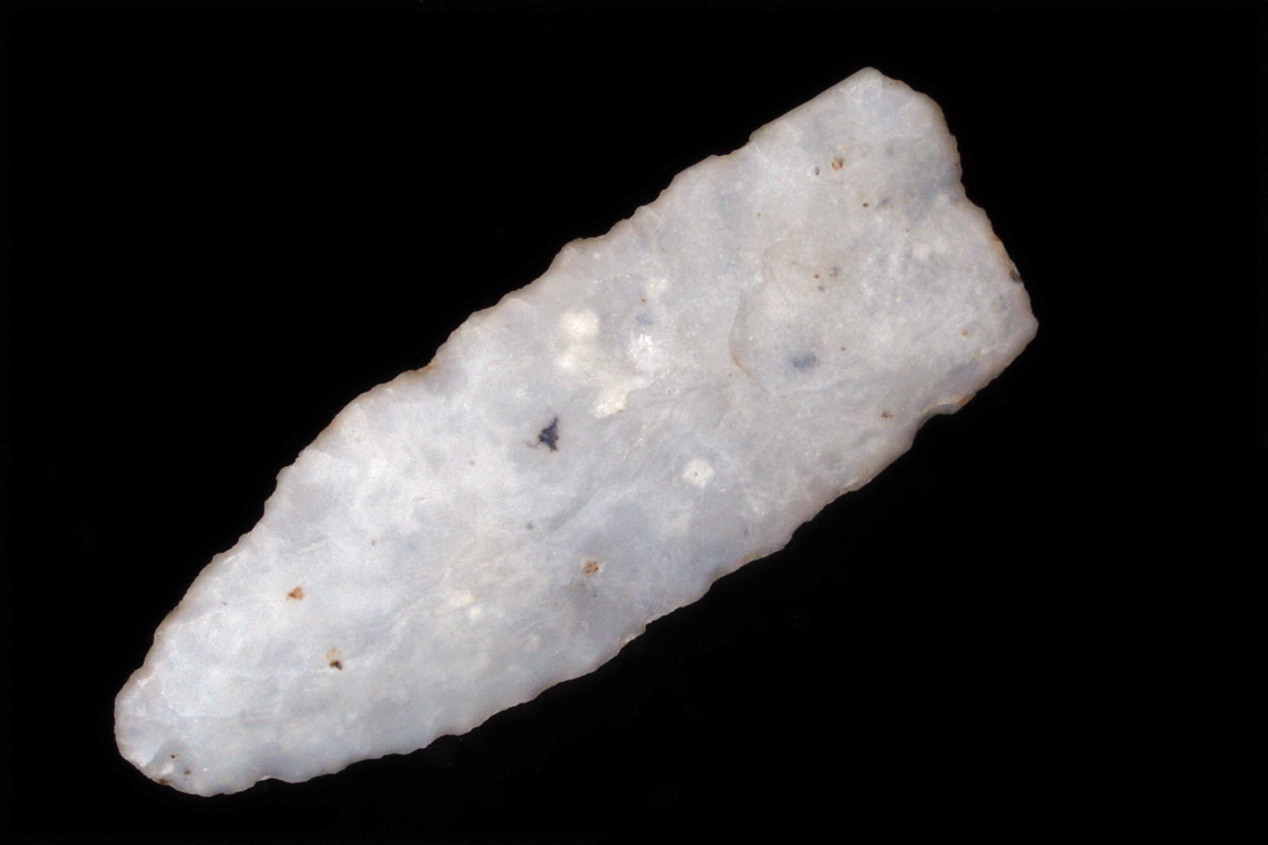 Ancient Life Pueblo Loop Trail Stop 1HikingPhoto: NPS0.1 mi
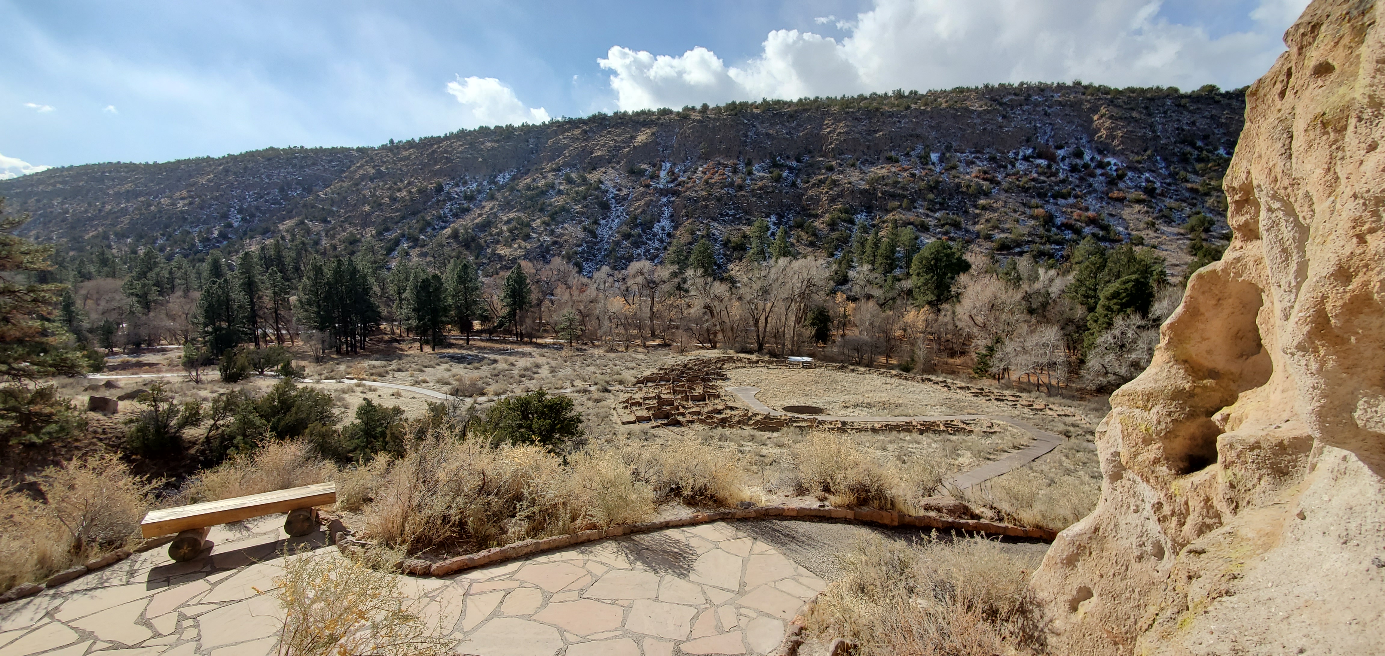 Pueblo Loop TrailHikingPhoto: NPS0.1 mi
 Frijolito TrailHikingPhoto: MARELBU, CC BY 3.0 (via Wikimedia Commons)0.1 mi
 Long TrailHikingPhoto: davidwilson1949, CC BY 2.0 (via Flickr)0.1 mi
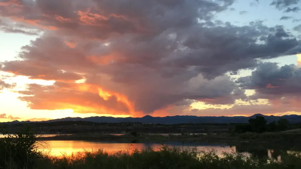 Tetilla PeakCampingPhoto: Recreation.gov (RIDB) / public domain9.3 mi
Source: Roamze catalog (indexable pages within 10 miles, PostGIS distance)
Main LoopHiking · Next doorPhoto: davidwilson1949, CC BY 2.0 (via Flickr)Burro TrailHiking · Next doorPhoto: MARELBU, CC BY 3.0 (via Wikimedia Commons)Frijolito TrailHiking · Next doorPhoto: MARELBU, CC BY 3.0 (via Wikimedia Commons)Long TrailHiking · Next doorPhoto: davidwilson1949, CC BY 2.0 (via Flickr)Frijoles Rim TrailHiking · Next doorPhoto: MARELBU, CC BY 3.0 (via Wikimedia Commons)Best months: March–May and October. Best months have typical highs of 55–85 °F, lows of 30 °F or warmer (32 °F where the station doesn't record snow), at most one snowy day and no more than 12 wet days.
Jan
50° / 20°
4 wet · 1 snow
Feb
56° / 24°
4 wet · 1 snow
Mar
64° / 30°
4 wet
Apr
71° / 37°
4 wet
May
81° / 46°
5 wet
Jun
92° / 56°
5 wet
Jul
94° / 61°
10 wet
Aug
92° / 59°
10 wet
Sep
86° / 52°
6 wet
Oct
74° / 39°
5 wet
Nov
60° / 28°
4 wet
Dec
50° / 20°
4 wet · 1 snow
Typical high / low (°F) and days with rain or snow, 1991–2020. Measured at Cochiti Dam, NM, 10.1 mi away at 5,560 ft. The station sits about 500 ft lower than this place, so expect it a little cooler here. Source: NOAA NCEI U.S. Climate Normals 1991–2020.
