Juniper Campground Loop A
Campground
Campground · 1.2 mi from the trail
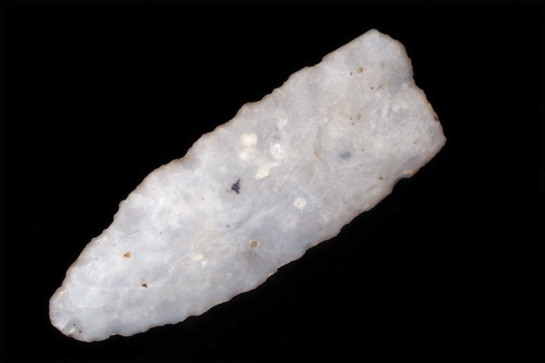 Photo: NPS
Alert in the area
The National Park Service lists an alert for Bandelier National Monument.
The Use of GPS is NOT Recommended
Park alert covering Bandelier National Monument · NPS · Bandelier National Monument
As of · Source: NPS · Bandelier National Monument. Agencies don't list every closure — check before you go.
Welcome to the Main or Pueblo Loop Trail. This trail is 1.4 miles roundtrip and will take you past many archeological sites. Portions of the trail are relatively flat and can be traveled by wheelchairs and strollers. Other sections have numerous narrow stairs and can be difficult to those with mobility issues or strollers. This is the best trail for anyone wanting to see much of what Bandelier is known for without a long walk. As you walk, you will see evidence of the people who lived here in the past. The remnants of stone structures and many carved or a few painted images on the rock walls provide indications of the Ancestral Pueblo people who inhabited this area and the lives they lived. In addition to these physical artifacts, we also gather clues to these past lives from the modern descendants who still live in the pueblos around us. Frijoles (free-HOH-lace) Canyon maintains very important connections for today’s Pueblo people. Please treat this area with respect. You can help the National Park Service preserve this cultural heritage for all to experience. Any disturbance is vandalism and against the law.
Juniper Campground Loop A
Campground
 If it rainsNewMexicophotographer1, CC BY-SA 4.0 · Wikimedia Commons
Places © OpenStreetMap contributors · Photos: NewMexicophotographer1, CC BY-SA 4.0 (commons)
More in Santo Domingo PuebloNot on Roamze yet. Their page has how to reach them.
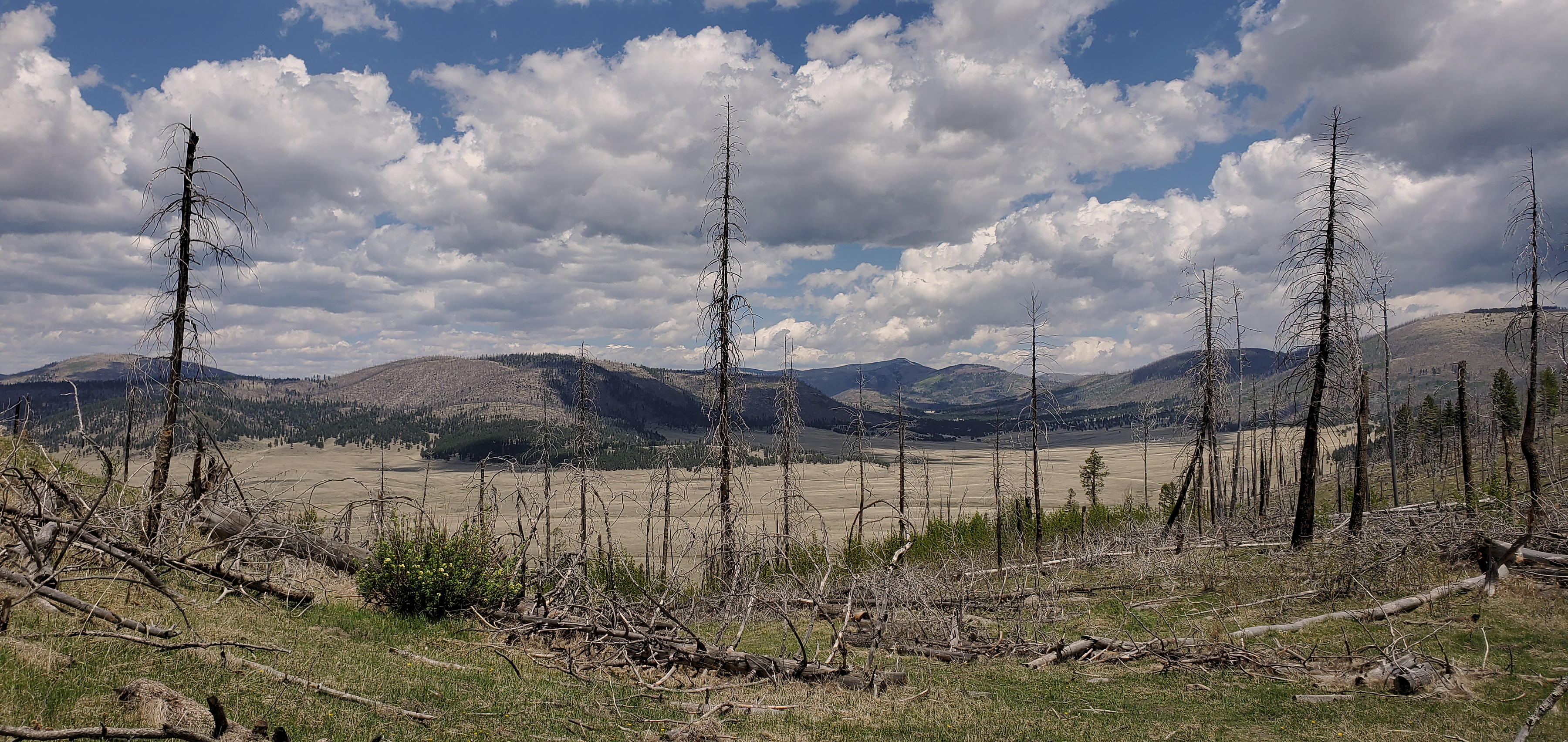 Geology Pueblo Loop Trail Stop 2HikingPhoto: NPS0.1 mi
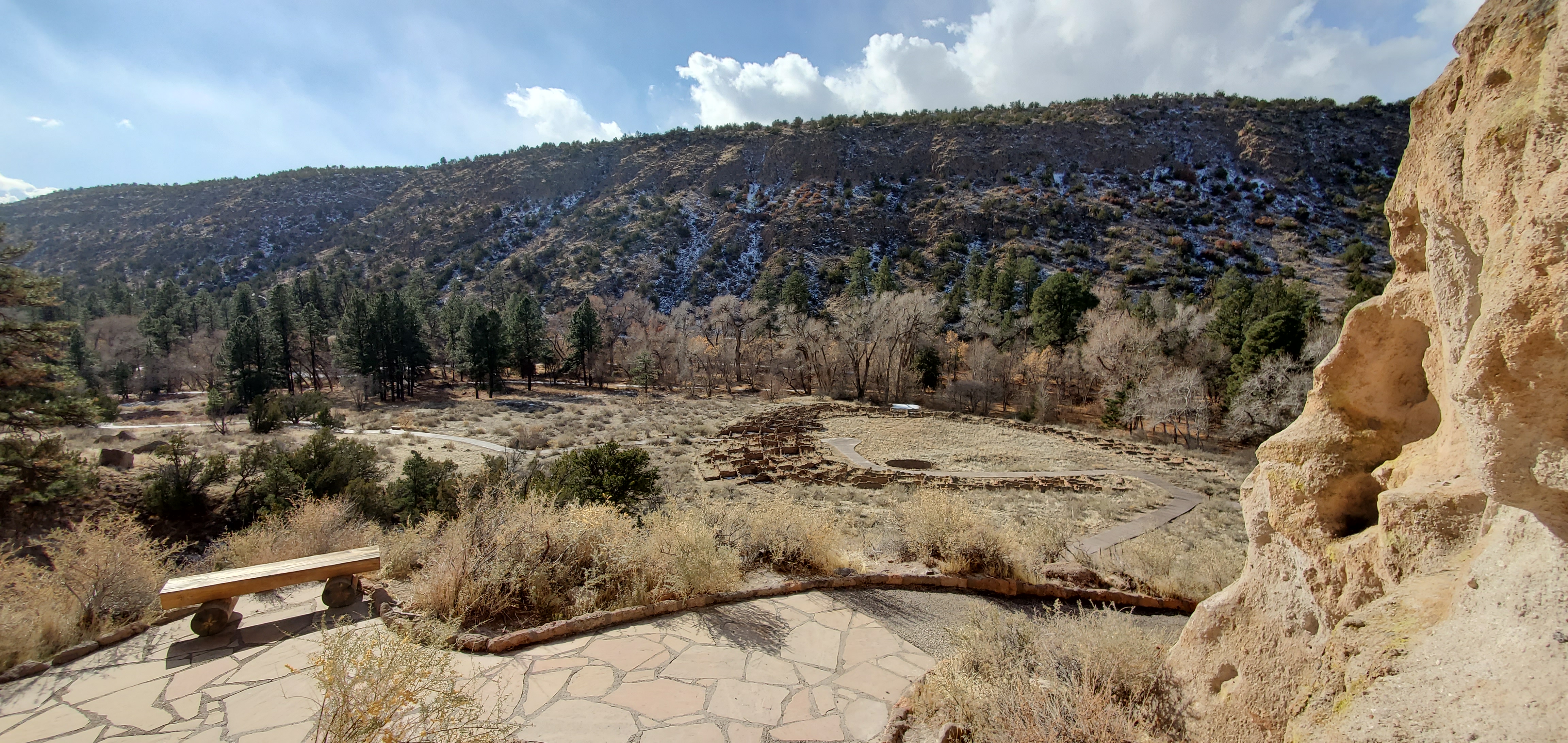 Pueblo Loop TrailHikingPhoto: NPS0.1 mi
 Frijolito TrailHikingPhoto: MARELBU, CC BY 3.0 (via Wikimedia Commons)0.1 mi
 Long TrailHikingPhoto: davidwilson1949, CC BY 2.0 (via Flickr)0.1 mi
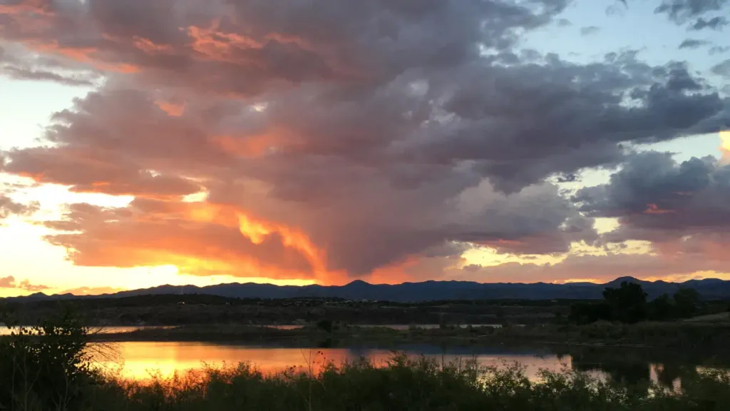 Tetilla PeakCampingPhoto: Recreation.gov (RIDB) / public domain9.3 mi
Source: Roamze catalog (indexable pages within 10 miles, PostGIS distance)
Frijolito TrailHiking · Next doorPhoto: MARELBU, CC BY 3.0 (via Wikimedia Commons)Burro TrailHiking · Next doorPhoto: MARELBU, CC BY 3.0 (via Wikimedia Commons)Main LoopHiking · Next doorPhoto: davidwilson1949, CC BY 2.0 (via Flickr)Long TrailHiking · Next doorPhoto: davidwilson1949, CC BY 2.0 (via Flickr)Frijoles Rim TrailHiking · Next doorPhoto: MARELBU, CC BY 3.0 (via Wikimedia Commons)Best months: March–May and October. Best months have typical highs of 55–85 °F, lows of 30 °F or warmer (32 °F where the station doesn't record snow), at most one snowy day and no more than 12 wet days.
Jan
50° / 20°
4 wet · 1 snow
Feb
56° / 24°
4 wet · 1 snow
Mar
64° / 30°
4 wet
Apr
71° / 37°
4 wet
May
81° / 46°
5 wet
Jun
92° / 56°
5 wet
Jul
94° / 61°
10 wet
Aug
92° / 59°
10 wet
Sep
86° / 52°
6 wet
Oct
74° / 39°
5 wet
Nov
60° / 28°
4 wet
Dec
50° / 20°
4 wet · 1 snow
Typical high / low (°F) and days with rain or snow, 1991–2020. Measured at Cochiti Dam, NM, 10.1 mi away at 5,560 ft. The station sits about 500 ft lower than this place, so expect it a little cooler here. Source: NOAA NCEI U.S. Climate Normals 1991–2020.
