Juniper Campground Loop A
Campground
Campground · 1.2 mi from the trail
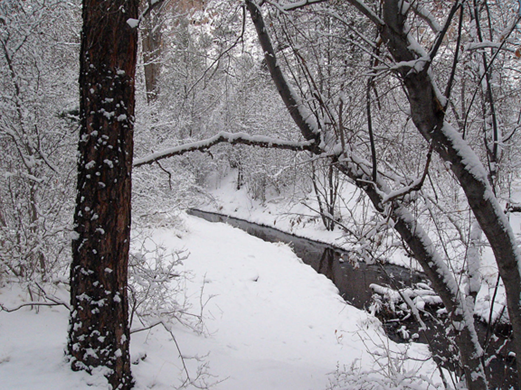 Photo: NPS
Alert in the area
The National Park Service lists an alert for Bandelier National Monument.
The Use of GPS is NOT Recommended
Park alert covering Bandelier National Monument · NPS · Bandelier National Monument
As of · Source: NPS · Bandelier National Monument. Agencies don't list every closure — check before you go.
Looking at Frijoles Creek it is hard to imagine it carving this dozen mile long canyon. In recent years it is not uncommon for this stream to dry up in summer from near Alcove House and downstream. Before Las Conchas Fire in 2011 this stream ran at least past the visitor center during all seasons. Since water is so important to life in the arid southwest, it is reasonable to assume that during much of the 400 years the Ancestral Pueblo lived here this was a year-round water source. Water is important to support a diversity of plant life that in turn encourages a wider variety of wildlife. This area near the creek, called a riparian area, hosts the widest array of life in the entire 33,000+ acre monument. Giant water loving cottonwoods and shorter box elder and willow trees line the creekside. Ponderosa pines, junipers, and piñon pine are also found here. This rich array of plant life attracts deer, rabbits, and a host of birds that were important food to the Ancestral Pueblo people.
Juniper Campground Loop A
Campground
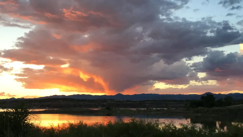
 If it rainsNewMexicophotographer1, CC BY-SA 4.0 · Wikimedia Commons
Places © OpenStreetMap contributors · Photos: NewMexicophotographer1, CC BY-SA 4.0 (commons)
More in Santo Domingo PuebloNot on Roamze yet. Their page has how to reach them.
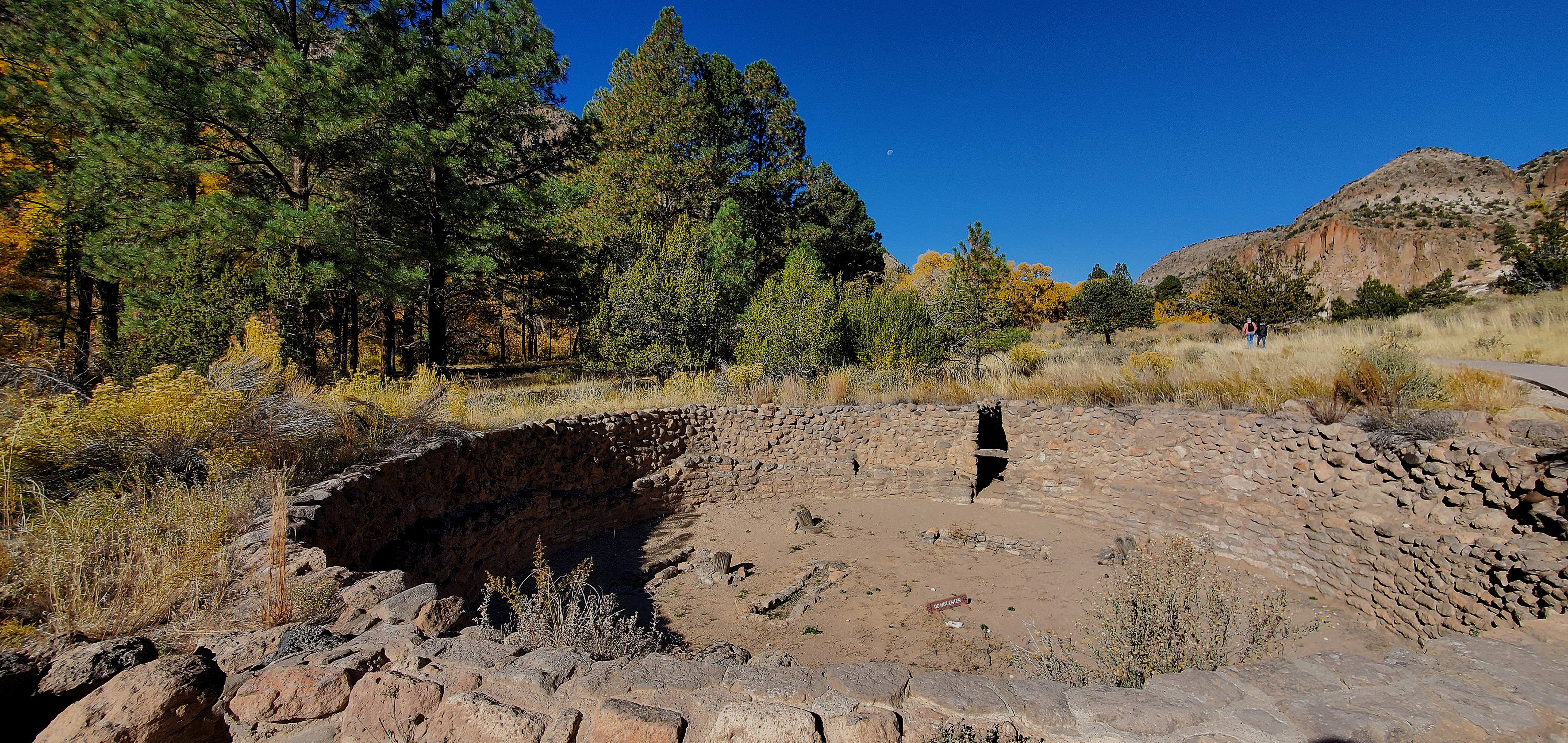 Big Kiva Pueblo Loop Trail Stop 4HikingPhoto: NPS0.1 mi
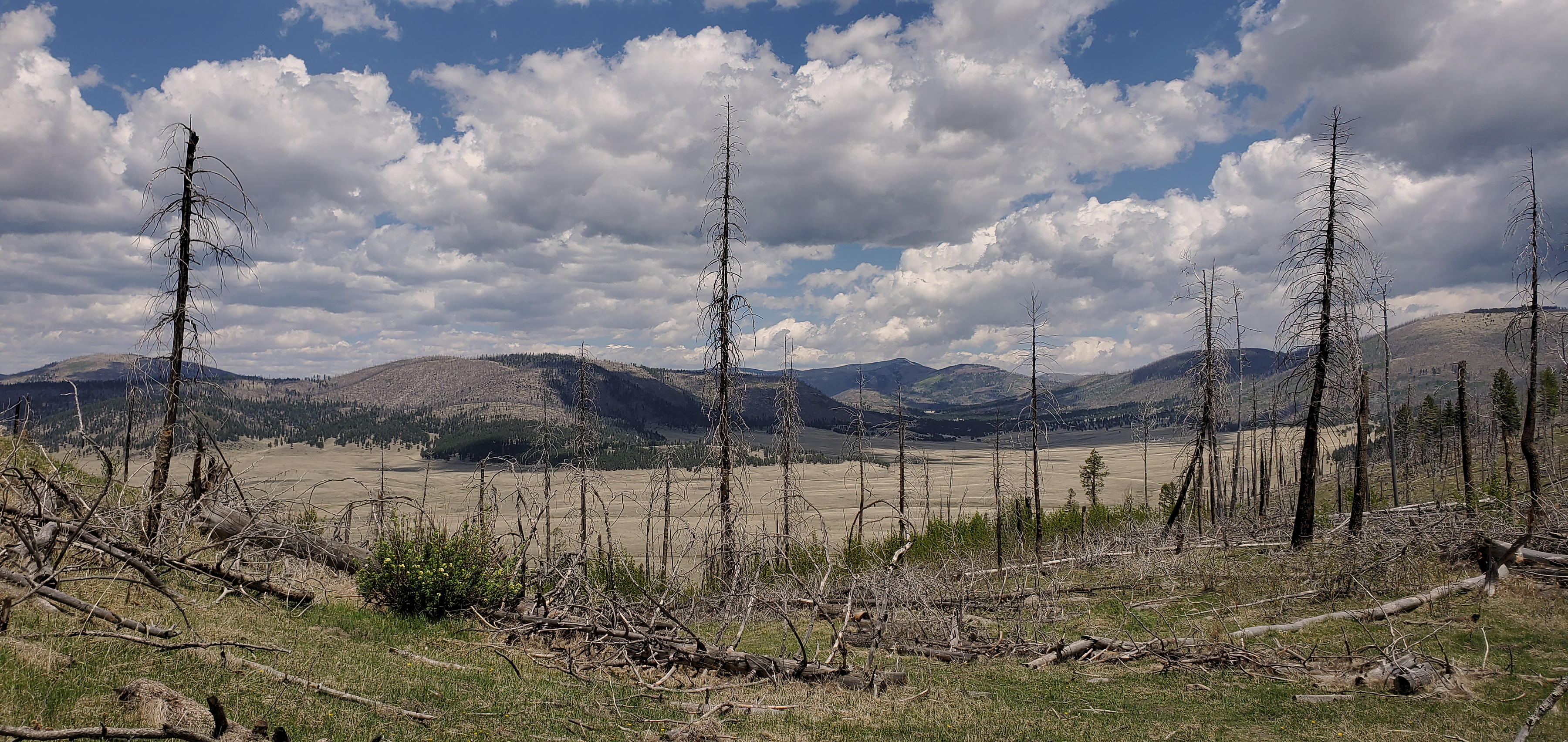 Geology Pueblo Loop Trail Stop 2HikingPhoto: NPS0.1 mi
 Garden Pueblo Loop Trail Stop 5HikingPhoto: NPS0.1 mi
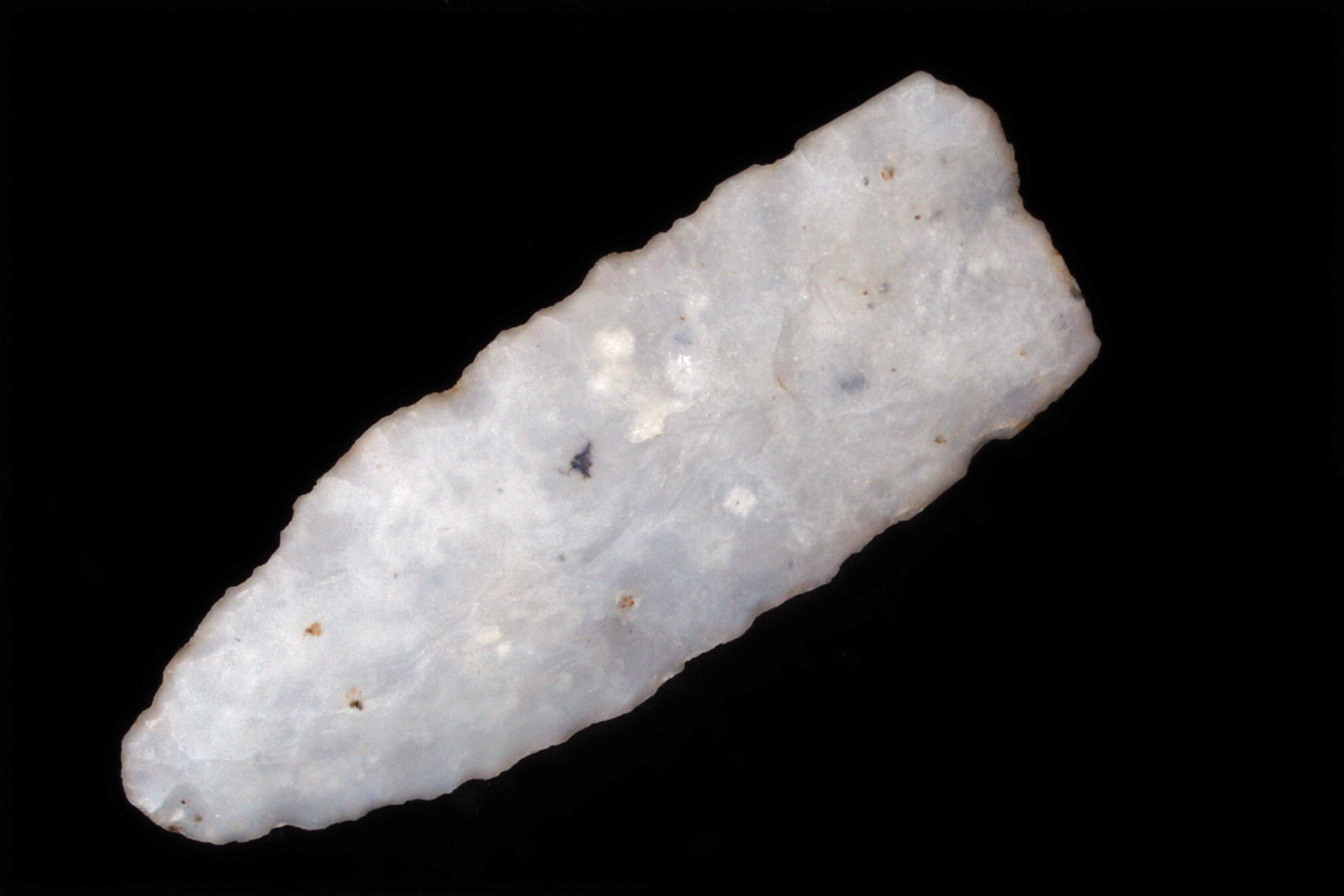 Ancient Life Pueblo Loop Trail Stop 1HikingPhoto: NPS0.1 mi
 Tetilla PeakCampingPhoto: Recreation.gov (RIDB) / public domain9.4 mi
Source: Roamze catalog (indexable pages within 10 miles, PostGIS distance)
 Main LoopHiking · Next doorPhoto: davidwilson1949, CC BY 2.0 (via Flickr)
 Burro TrailHiking · Next doorPhoto: MARELBU, CC BY 3.0 (via Wikimedia Commons)Frijolito TrailHiking · Next doorPhoto: MARELBU, CC BY 3.0 (via Wikimedia Commons)Long TrailHiking · Next doorPhoto: davidwilson1949, CC BY 2.0 (via Flickr)
Best months: March–May and October. Best months have typical highs of 55–85 °F, lows of 30 °F or warmer (32 °F where the station doesn't record snow), at most one snowy day and no more than 12 wet days.
Jan
50° / 20°
4 wet · 1 snow
Feb
56° / 24°
4 wet · 1 snow
Mar
64° / 30°
4 wet
Apr
71° / 37°
4 wet
May
81° / 46°
5 wet
Jun
92° / 56°
5 wet
Jul
94° / 61°
10 wet
Aug
92° / 59°
10 wet
Sep
86° / 52°
6 wet
Oct
74° / 39°
5 wet
Nov
60° / 28°
4 wet
Dec
50° / 20°
4 wet · 1 snow
Typical high / low (°F) and days with rain or snow, 1991–2020. Measured at Cochiti Dam, NM, 10.2 mi away at 5,560 ft. The station sits about 500 ft lower than this place, so expect it a little cooler here. Source: NOAA NCEI U.S. Climate Normals 1991–2020.
