Juniper Campground Loop A
Campground
Campground · 1.0 mi from the trail
 Photo: NPS
Alert in the area
The National Park Service lists an alert for Bandelier National Monument.
The Use of GPS is NOT Recommended
Park alert covering Bandelier National Monument · NPS · Bandelier National Monument
As of · Source: NPS · Bandelier National Monument. Agencies don't list every closure — check before you go.
Frijoles Canyon Pueblo Loop Trail Stop 13 is a stop along the Pueblo Loop Trail in Bandelier National Monument in New Mexico, managed by the National Park Service. It sits within the monument's land, and the trail is part of the monument's network of stops that make up the Pueblo Loop. The stop invites you to look out over the canyon and consider its riparian setting. The canyon is greener and more diverse in plant and wildlife life than the surrounding mesas. Farming was done on the mesas, and some farming also took place here in the canyon. Floods could destroy crops but also bring rich sediments and moisture that benefit farming. Spring and fall are the most comfortable times to visit. Typical averages from a nearby weather station at Cochiti Dam show April highs around 71°F and October highs around 74°F, while July and August average highs near 94°F. A fee is charged for this stop. The next stops on the loop, including Cavate Pueblo Loop Trail Stop 14 and Talus House Pueblo Loop Trail Stop 12, are each about 0.1 mile away. Climbers can find Potrillo Cliffs about 3.3 miles off, and Tetilla Peak campground is about 9.5 miles away.
Juniper Campground Loop A
Campground
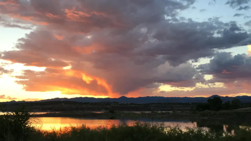
 If it rainsNewMexicophotographer1, CC BY-SA 4.0 · Wikimedia Commons
Places © OpenStreetMap contributors · Photos: NewMexicophotographer1, CC BY-SA 4.0 (commons)
More in Santo Domingo PuebloNot on Roamze yet. Their page has how to reach them.
 Cavate Pueblo Loop Trail Stop 14HikingPhoto: NPS0.1 mi
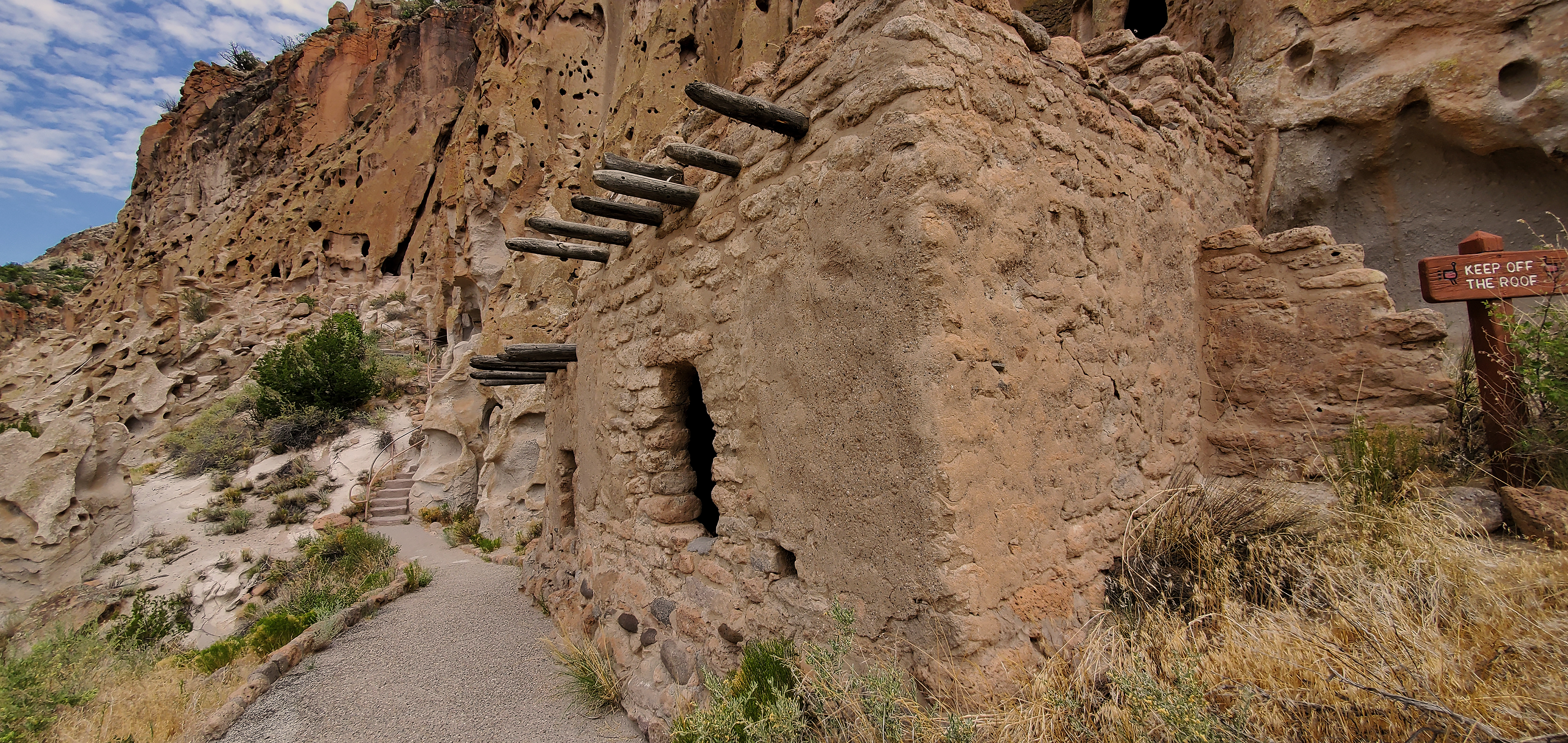 Talus House Pueblo Loop Trail Stop 12HikingPhoto: NPS0.1 mi
 Cave Kiva Pueblo Loop Trail Stop 15HikingPhoto: NPS0.1 mi
 Frey Trail Pueblo Loop Trail Stop 16HikingPhoto: NPS0.1 mi
 Tetilla PeakCampingPhoto: Recreation.gov (RIDB) / public domain9.5 mi
Source: Roamze catalog (indexable pages within 10 miles, PostGIS distance)
 Pueblo Loop TrailHiking · Next doorPhoto: olekinderhook, CC BY 3.0 (via Wikimedia Commons)
 Burro TrailHiking · Next doorPhoto: MARELBU, CC BY 3.0 (via Wikimedia Commons)
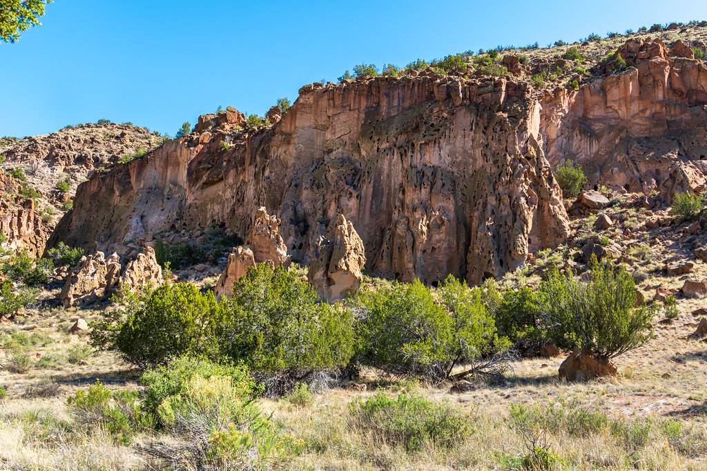 Alcove House TrailHiking · Next doorPhoto: dconvertini, CC BY-SA 2.0 (via Flickr)
 Main LoopHiking · Next doorPhoto: davidwilson1949, CC BY 2.0 (via Flickr)
Best months: March–May and October. Best months have typical highs of 55–85 °F, lows of 30 °F or warmer (32 °F where the station doesn't record snow), at most one snowy day and no more than 12 wet days.
Jan
50° / 20°
4 wet · 1 snow
Feb
56° / 24°
4 wet · 1 snow
Mar
64° / 30°
4 wet
Apr
71° / 37°
4 wet
May
81° / 46°
5 wet
Jun
92° / 56°
5 wet
Jul
94° / 61°
10 wet
Aug
92° / 59°
10 wet
Sep
86° / 52°
6 wet
Oct
74° / 39°
5 wet
Nov
60° / 28°
4 wet
Dec
50° / 20°
4 wet · 1 snow
Typical high / low (°F) and days with rain or snow, 1991–2020. Measured at Cochiti Dam, NM, 10.3 mi away at 5,560 ft. The station sits about 600 ft lower than this place, so expect it a little cooler here. Source: NOAA NCEI U.S. Climate Normals 1991–2020.
