First Stop of Backcountry Camping Loop Trail Tour
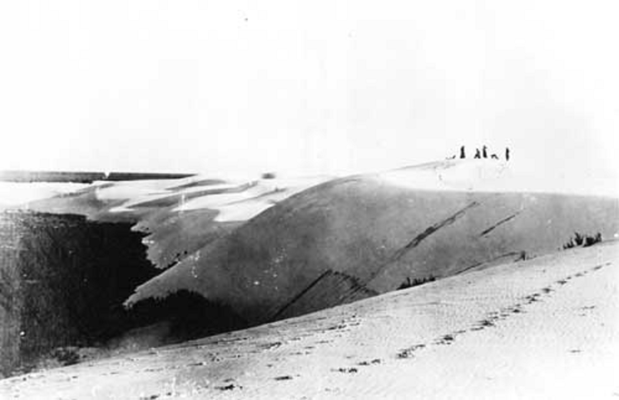 Photo: NPS Photo
- 1.7 mi
- loop
- 22 ft
- climb
- 3,991 ft
- high point
- Loop
- route
- Mar–Apr, Oct
- best months
Is First Stop of Backcountry Camping Loop Trail Tour open right now?
Closure in the area
There's a closure order in White Sands National Park. It doesn't name First Stop of Backcountry Camping Loop Trail Tour, so check the source for the area it covers.
Dunes Drive Safety Corridor
Park closure covering White Sands National Park · NPS · White Sands National Park
As of · Source: NPS · White Sands National Park. Agencies don't list every closure — check before you go.
Welcome to White Sands National Park’s digital self-guided tour! If you see the Backcountry Camping Loop Trailhead in front of you, you’re in the right place. White Sands is far more than just a sandbox. Over time, this land has been home to countless creatures and people. It’s been a site for research and recreation, sleds and snapshots. Just as the landscape shifts and changes every day, the way recent humans have utilized this place has changed, too. As we begin our voyage to explore how the ways we use this landscape has changed over time, remember that nothing is permanent – especially not the world’s largest gypsum sand dunes. Keep in mind that you may need to adjust your location to get a better view along the way. Here are a few more tips to help you make the most of this self-led tour: • Read up on our hiking safety tips before setting off on foot. • Bring plenty of water! We strongly recommend having at least a gallon of water per person, per day. There is no drinking water available in the dunefield. • Always know where you are, and keep a keen eye on the trail markers both behind you and ahead of you. The backcountry trail markers will all have the spade symbol on them. • Please be respectful of visitors setting up camp at the designated sites along the trail, and try to avoid wandering into campsites uninvited. We’re not Goldilocks, and the beds probably won’t fit “just right.” Now if you’re ready to begin, you can continue along the trail. Let’s go!
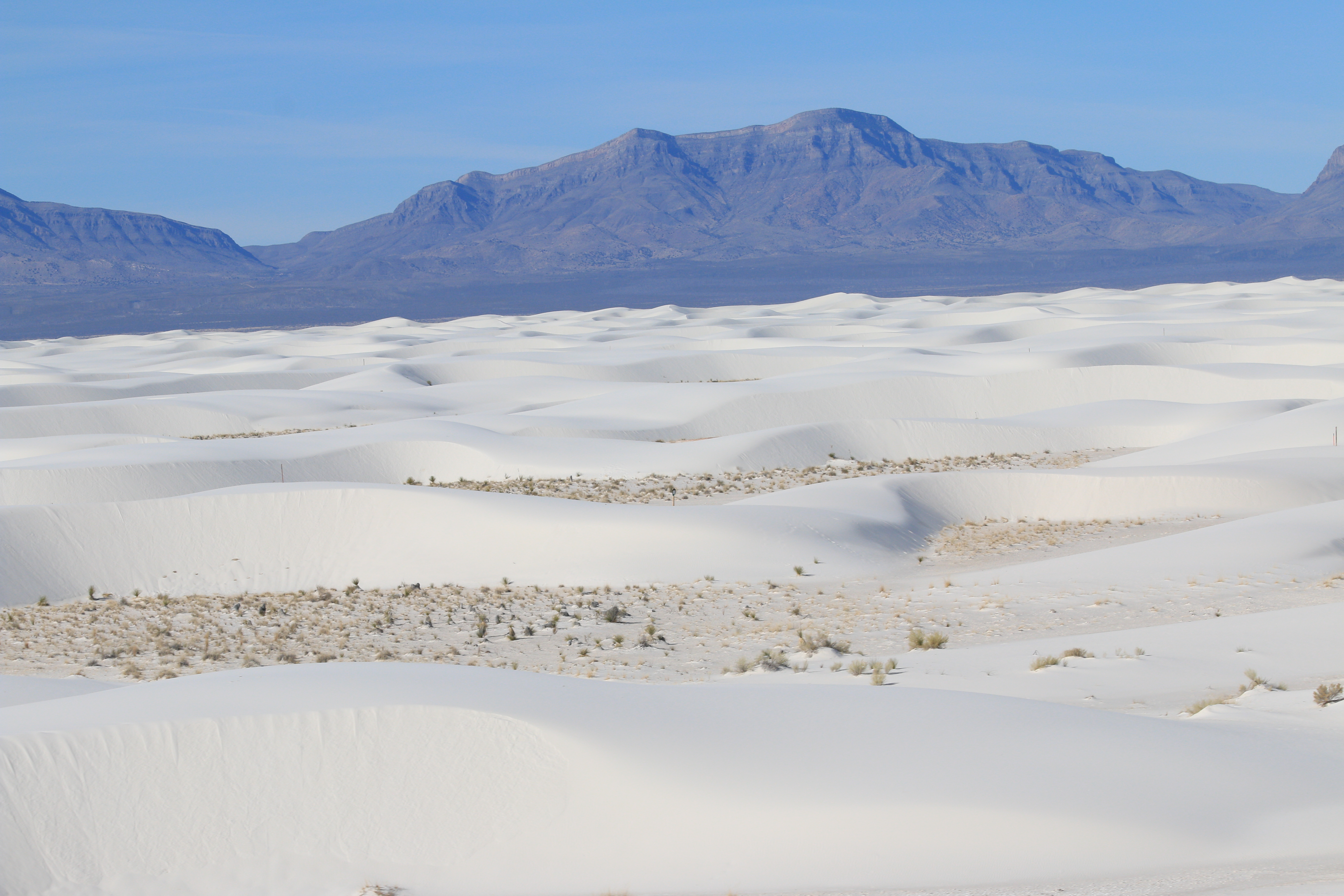 Backcountry Camping Loop TrailHiking0.1 mi
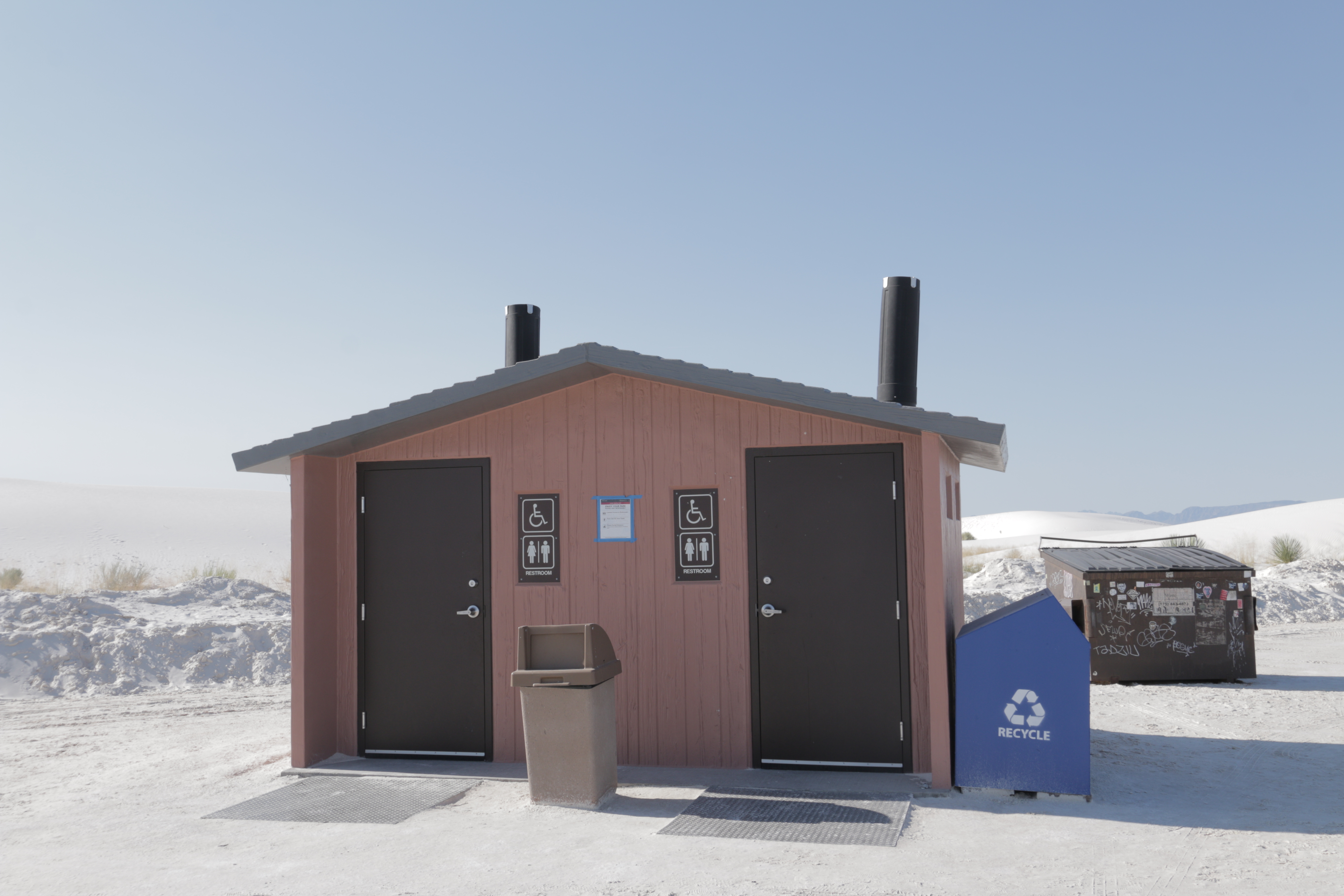 Backcountry Camping Loop Trail RestroomHikingPhoto: NPS Photo0.1 mi
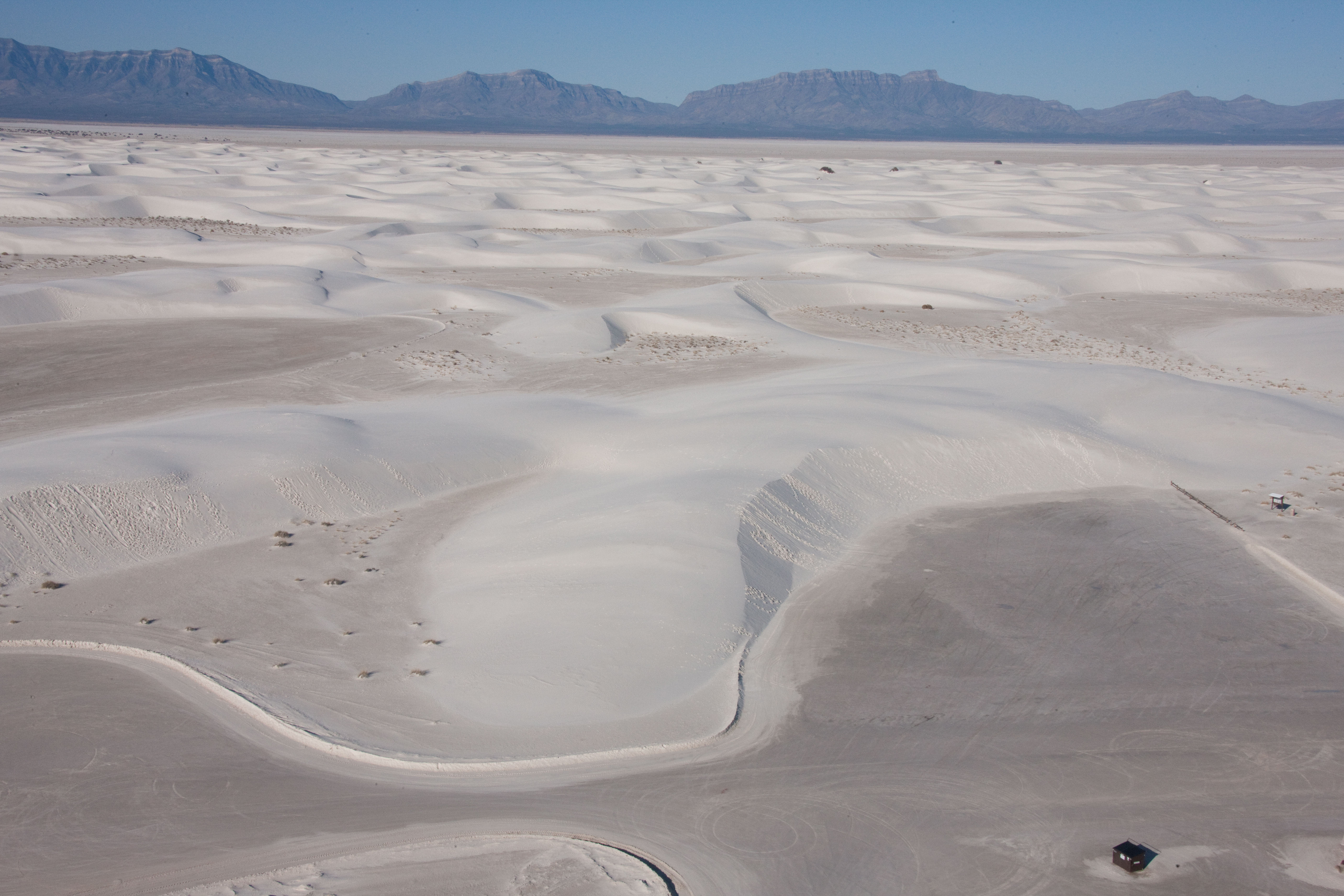 Alkali Flat TrailHiking0.9 mi
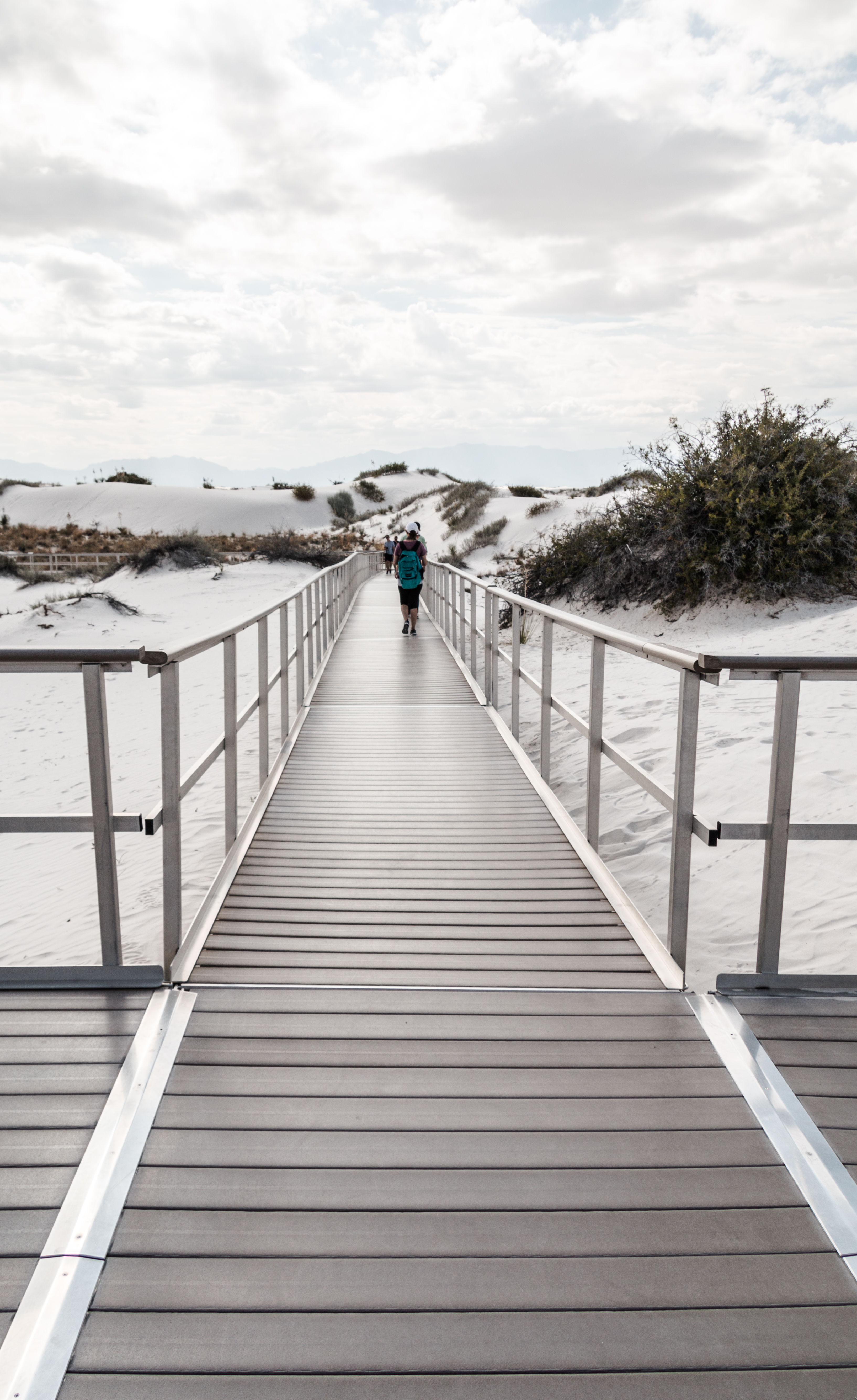 Interdune BoardwalkHikingPhoto: NPS Photo1.8 mi
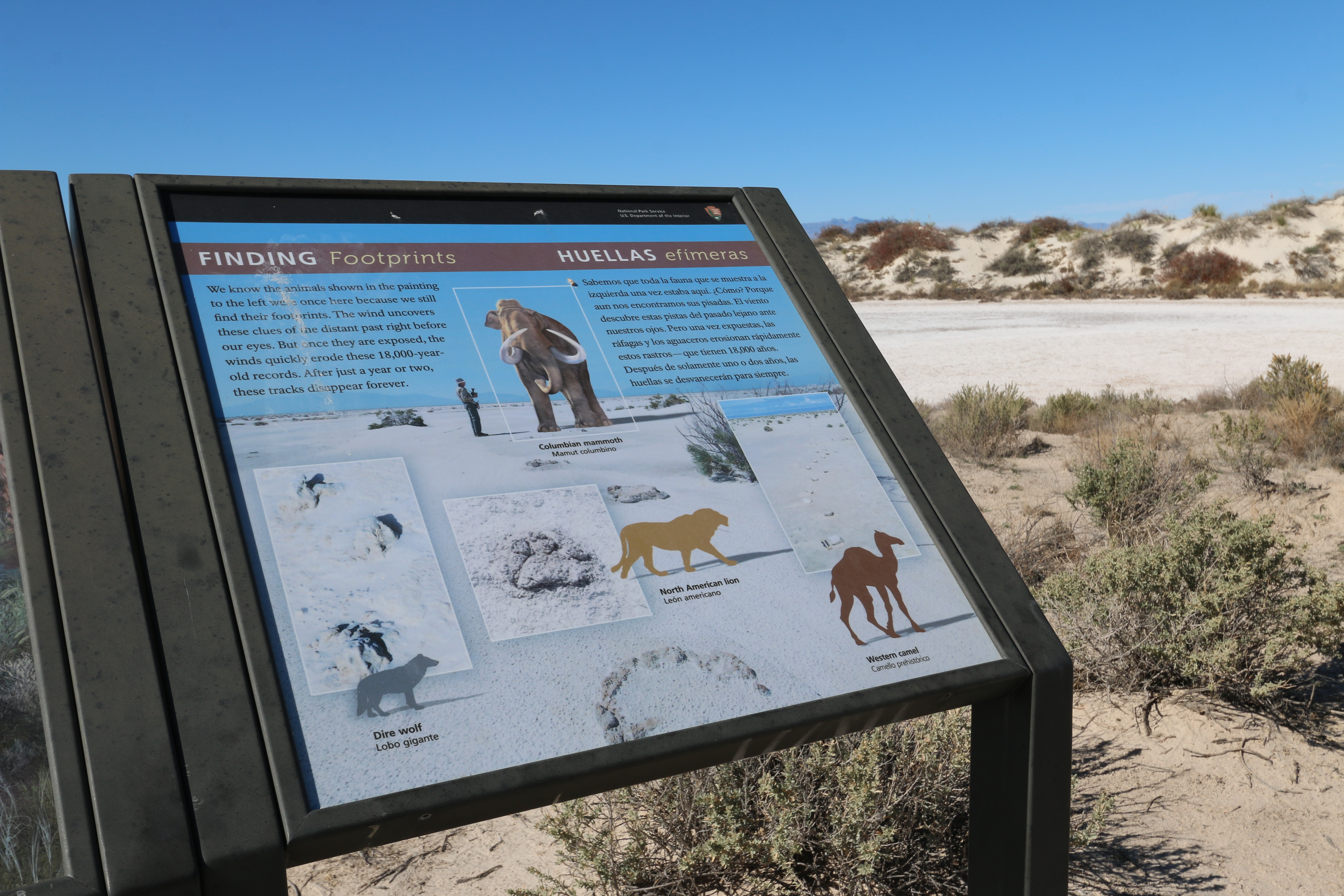 "Finding Footprints" Interpretive SignHikingPhoto: NPS Photo / S. Kivela3.2 mi
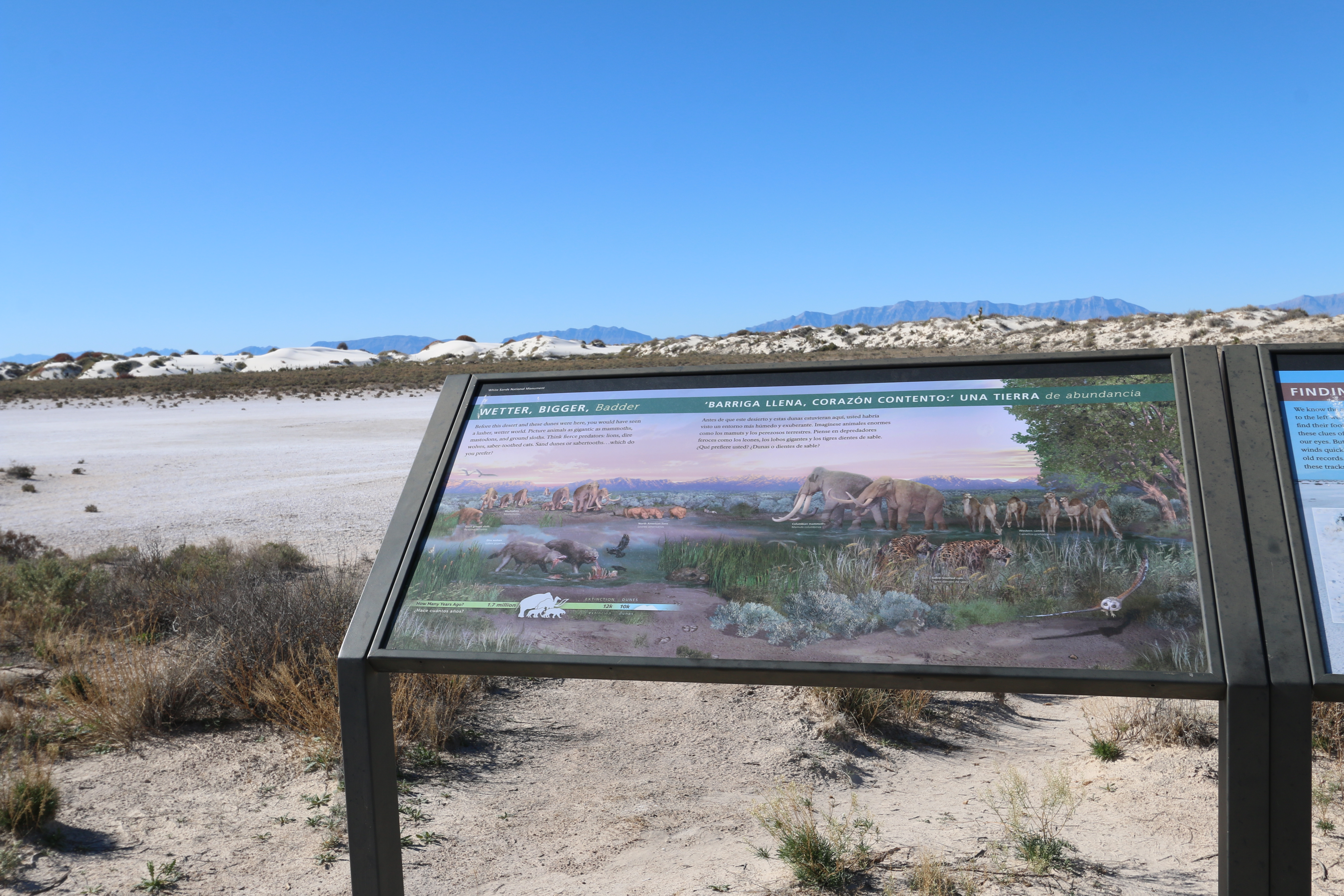 "Wetter, Bigger, Badder" Interpretive SignHikingPhoto: NPS Photo / S. Kivela3.2 mi
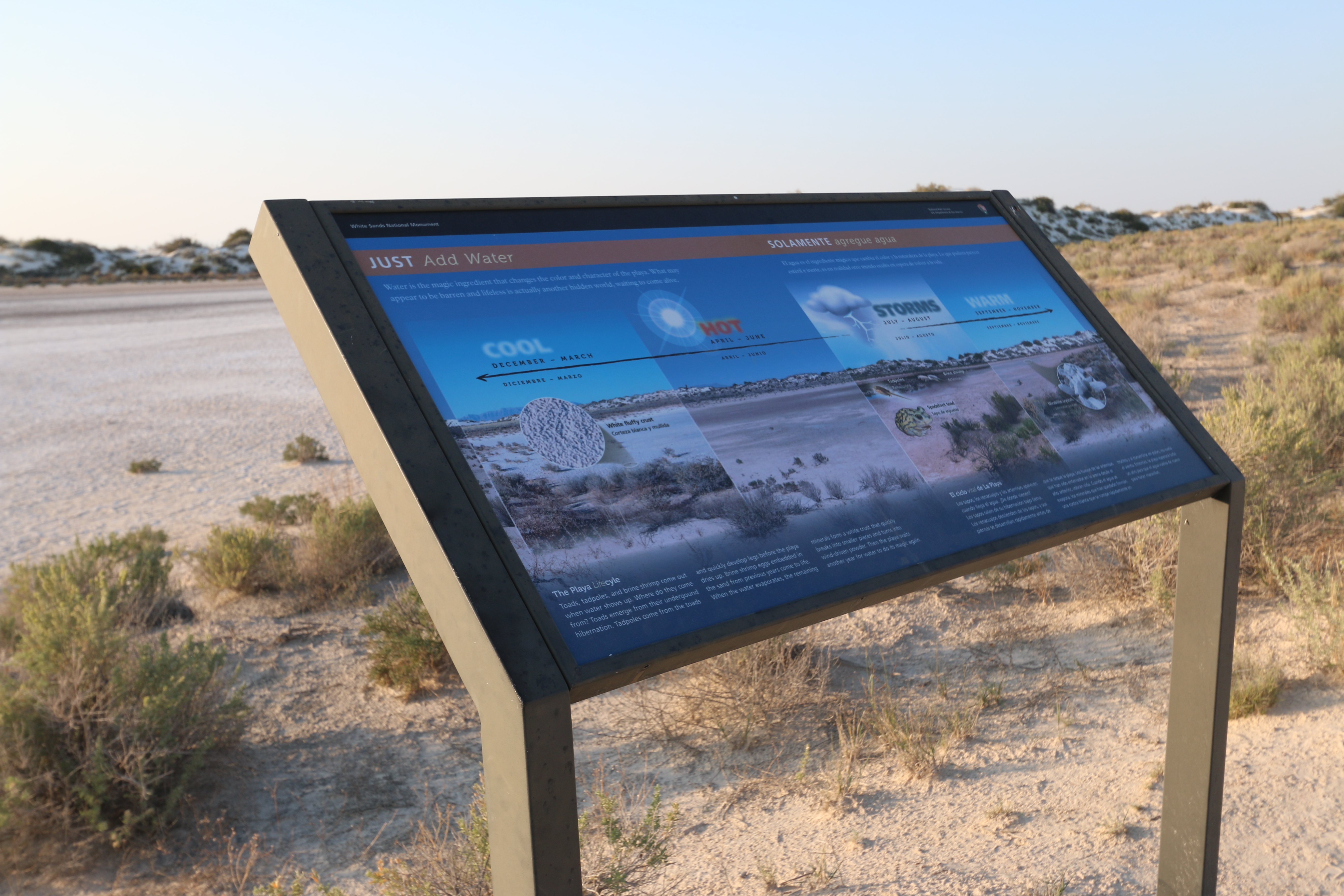 "Just Add Water" Interpretive SignHikingPhoto: NPS Photo / S. Kivela3.2 mi
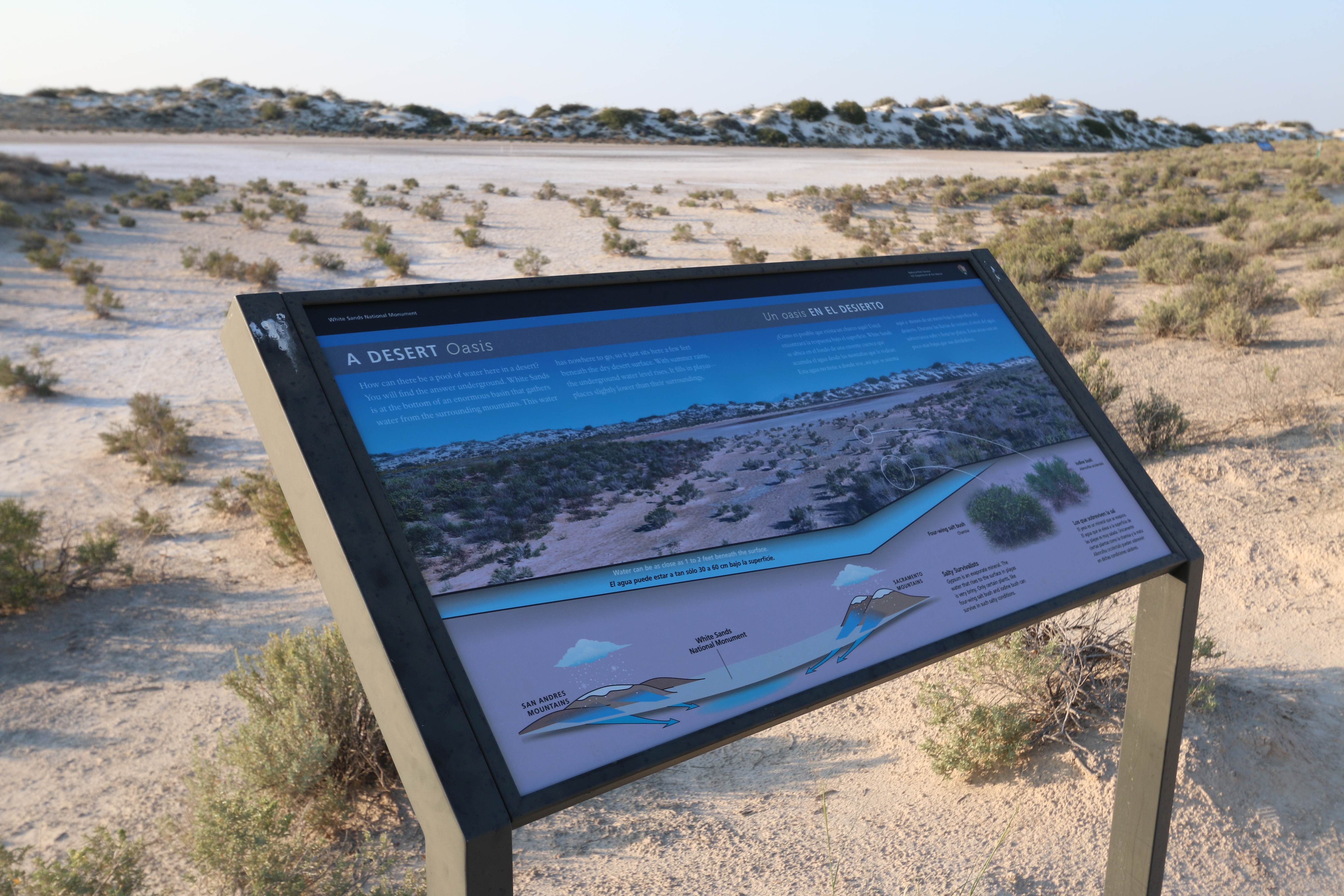 A Desert Oasis Interpretive SignHikingPhoto: NPS Photo3.2 mi
Source: Roamze catalog (indexable pages within 10 miles, PostGIS distance)
- Backcountry Camping Loop Trail RestroomHiking · Next door
- Alkali Flat TrailHiking · ~2 min drive
 Mineral SpringsHiking · ~38 min drivePhoto: AudreyIski, CC BY-SA 3.0 (via Wikimedia Commons)
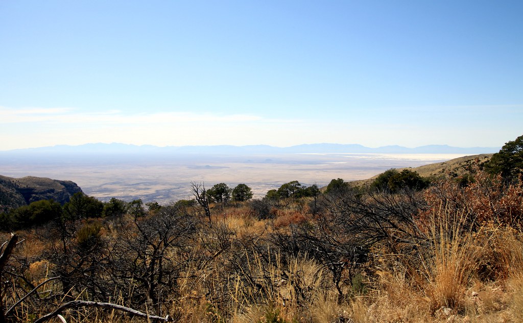 Dog Canyon TrailHiking · ~40 min drivePhoto: uıɐɾ ʞ ʇɐɯɐs, CC BY-SA 2.0 (via Flickr)
 Rim TrailHiking · ~45 min drivePhoto: uıɐɾ ʞ ʇɐɯɐs, CC BY-SA 2.0 (via Flickr)
- Dune Life Nature TrailHiking · ~5 min drive
- Interdune BoardwalkHiking · ~3 min drive
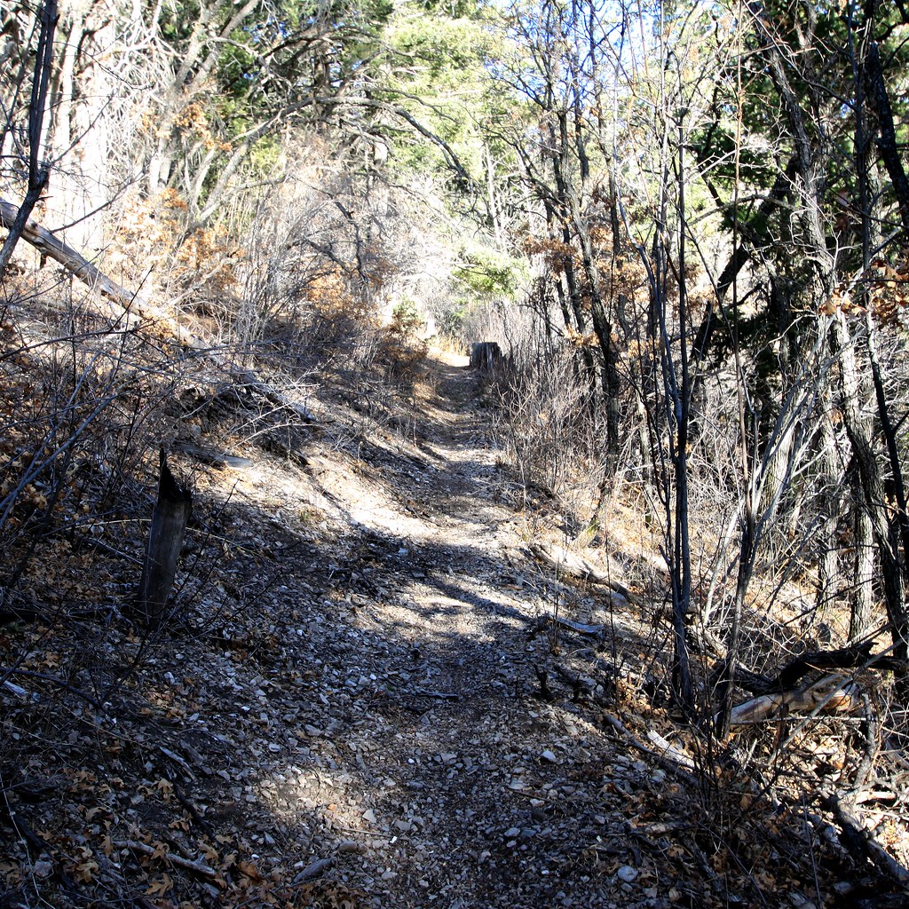 Road CanyonHiking · ~45 min drivePhoto: uıɐɾ ʞ ʇɐɯɐs, CC BY-SA 2.0 (via Flickr)
- Alamo Canyon Trail (104)Hiking · ~35 min drive
- Playa TrailHiking · ~6 min drive
Best time to visit First Stop of Backcountry Camping Loop Trail Tour
Best months: March–April and October. Best months have typical highs of 55–85 °F, lows of 30 °F or warmer (32 °F where the station doesn't record snow), at most one snowy day and no more than 12 wet days.
Jan
57° / 22°
3 wet
Feb
63° / 27°
3 wet
Mar
71° / 33°
2 wet
Apr
79° / 41°
2 wet
May
88° / 50°
2 wet
Jun
97° / 60°
4 wet
Jul
97° / 65°
7 wet
Aug
95° / 63°
7 wet
Sep
89° / 56°
5 wet
Oct
79° / 42°
4 wet
Nov
67° / 29°
3 wet
Dec
57° / 22°
3 wet
Typical high / low (°F) and days with rain or snow, 1991–2020. Measured at White Sands Natl Mon, NM, 5.5 mi away at 4,006 ft. This station doesn't record snowfall. Source: NOAA NCEI U.S. Climate Normals 1991–2020.

