Alkali Flat Trail
About
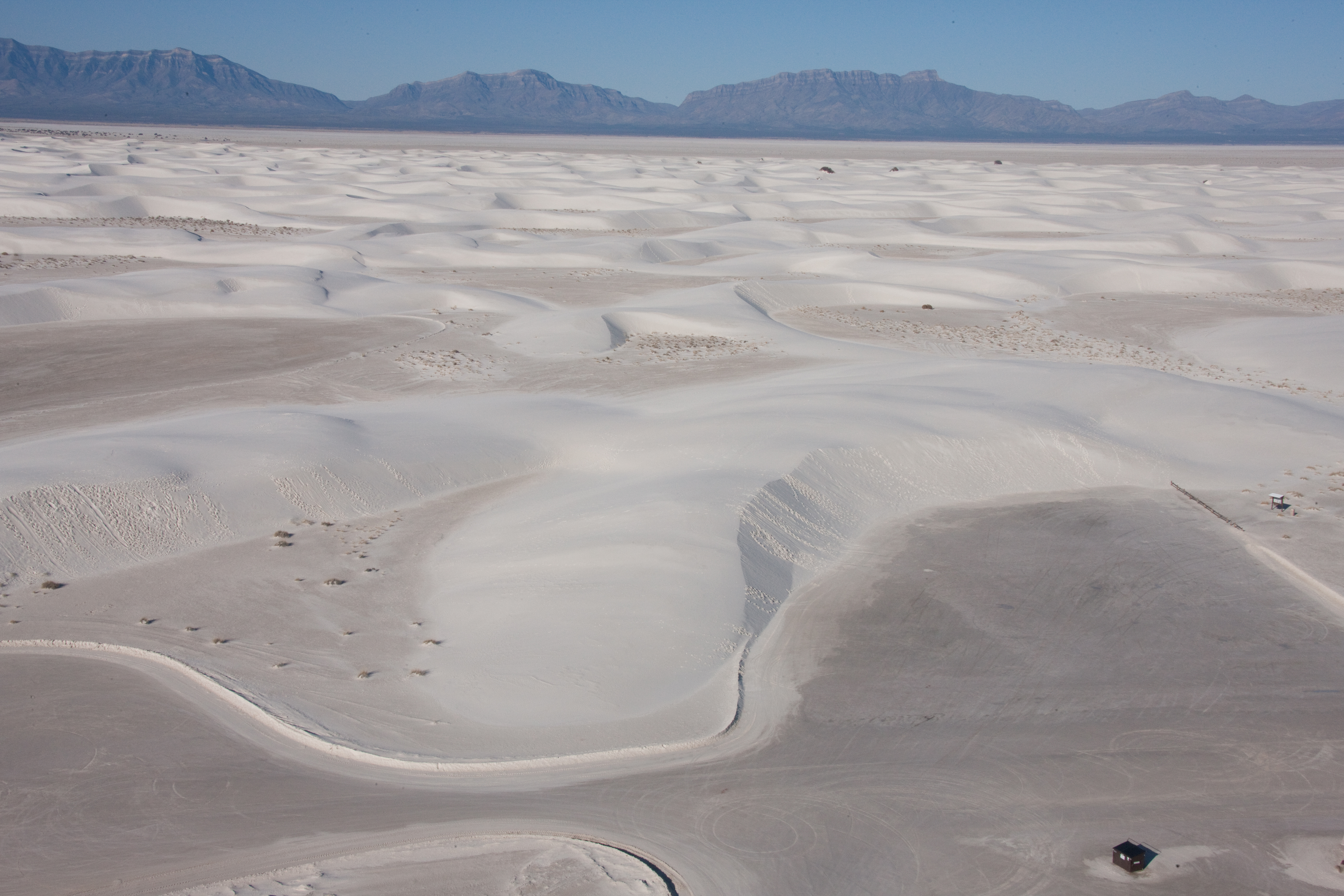
<p>Red trail markers with a diamond symbol guide hikers along this strenuous, 5-mile (8 km) roundtrip hike. The Alkali Flat Trail skirts the edge of what is now the final remnant of Lake Otero. <strong>This trail is not flat!</strong> You will be hiking up and down dunes the entire way. Go only if you are prepared. There is no shade, no water, and no toilet facility along this trail. The average completion time is three hours.<br /> <br /> <strong>Length:</strong> 5 miles (8 km), round-trip<br /> <strong>Trail Marker Color:</strong> Red<br /> <span style="display: none;"> </span><strong>Trail Marker Symbol:</strong> Diamond<br /> <span style="display: none;"> </span><strong>Average Completion Time:</strong> 3 hours<br /> <strong>Difficulty:</strong> Strenuous<br /> <span style="display: none;"> </span><strong>Distance from Visitor Center:</strong> 7 miles (11.2 km)<br /> <strong>Restroom:</strong> Two vault toilets at the trailhead<br /> <br /> Before setting out on foot at White Sands National Park, please view our <a href="https://www.nps.gov/whsa/planyourvisit/hiking-safety-tips.htm">Hiking Safety Tips</a>.</p>
