Backcountry Camping Loop Trail
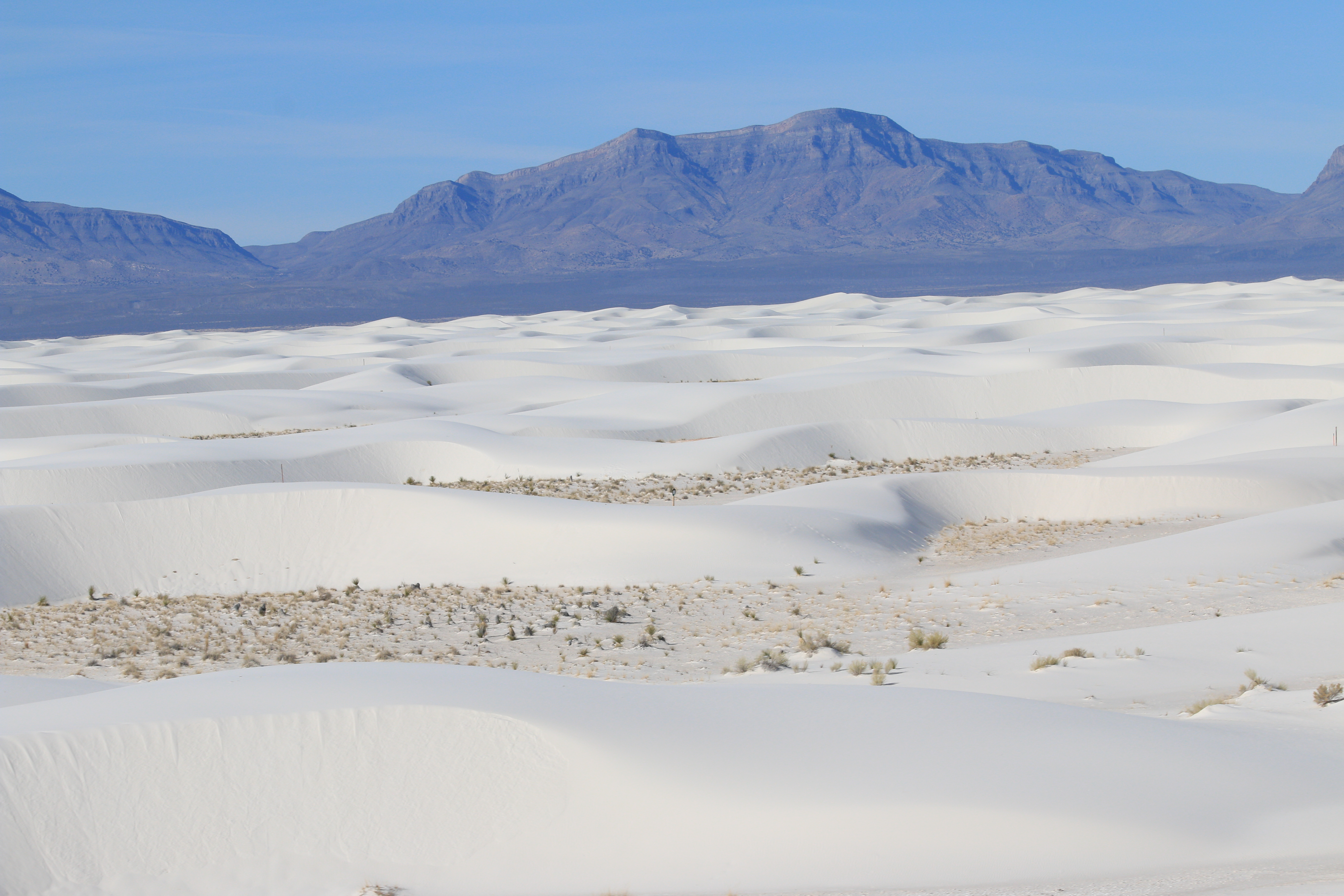
- Loop
- route
- Mar–Apr, Oct
- best months
Is Backcountry Camping Loop Trail open right now?
Closure in the area
There's a closure order in White Sands National Park. It doesn't name Backcountry Camping Loop Trail, so check the source for the area it covers.
Dunes Drive Safety Corridor
Park closure covering White Sands National Park · NPS · White Sands National Park
As of · Source: NPS · White Sands National Park. Agencies don't list every closure — check before you go.
The Backcountry Camping Loop Trail is a loop route in White Sands National Park in New Mexico, managed by the National Park Service. The trail is a backcountry camping loop, and the trailhead is named the Backcountry Camping Loop Trail Trailhead. Spring and fall are the most comfortable times to visit. Typical averages from a nearby weather station show April highs around 79°F and October highs around 79°F, while July and August average highs near 97°F with more wet days. A fee is charged for the trail. The First Stop of Backcountry Camping Loop Trail Tour and the Backcountry Camping Loop Trail Restroom both sit about 0.1 mile away. The Alkali Flat Trail is about 0.9 mile off, and the Interdune Boardwalk is about 1.8 miles away.
Best time to go · Mar–Apr, Oct
Best time to visit Backcountry Camping Loop Trail
Best months: March–April and October. Best months have typical highs of 55–85 °F, lows of 30 °F or warmer (32 °F where the station doesn't record snow), at most one snowy day and no more than 12 wet days.
Jan
57° / 22°
3 wet
Feb
63° / 27°
3 wet
Mar
71° / 33°
2 wet
Apr
79° / 41°
2 wet
May
88° / 50°
2 wet
Jun
97° / 60°
4 wet
Jul
97° / 65°
7 wet
Aug
95° / 63°
7 wet
Sep
89° / 56°
5 wet
Oct
79° / 42°
4 wet
Nov
67° / 29°
3 wet
Dec
57° / 22°
3 wet
Typical high / low (°F) and days with rain or snow, 1991–2020. Measured at White Sands Natl Mon, NM, 5.5 mi away at 4,006 ft. This station doesn't record snowfall. Source: NOAA NCEI U.S. Climate Normals 1991–2020.
Keep exploring — more trails worth the drive
HIKE
Backcountry Camping Loop Trail Restroom
Next door
The Backcountry Camping Loop Trail restroom has two separate wheelchair-accessible vault toilets with no running water, a dumpster, and trash and recycling bins. It is within a parking area with plenty of space to park automobiles and RVs, and there are accessible parking…
HIKE
Alkali Flat Trail
~2 min drive
Red trail markers with a diamond symbol guide hikers along this strenuous, 5-mile (8 km) roundtrip hike. The Alkali Flat Trail skirts the edge of what is now the final remnant of Lake Otero. This trail is not flat! You will be hiking up and down dunes the entire way. Go only…
 Photo: AudreyIski, CC BY-SA 3.0 (via Wikimedia Commons)
Mineral Springs
~38 min drive
4.20-mile out-and-back trail in New Mexico with 1,091 ft elevation gain.
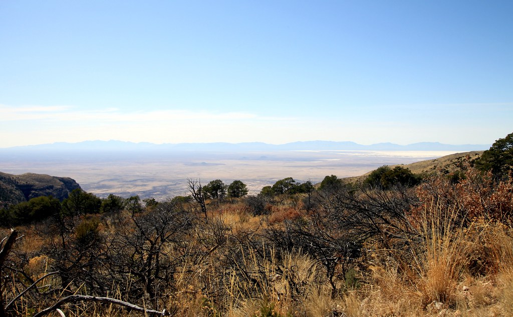 Photo: uıɐɾ ʞ ʇɐɯɐs, CC BY-SA 2.0 (via Flickr)
Dog Canyon Trail
~40 min drive
5.12-mile out-and-back hike in Dog Canyon, New Mexico with 1,000 ft gain.
 Photo: uıɐɾ ʞ ʇɐɯɐs, CC BY-SA 2.0 (via Flickr)
Rim Trail
~45 min drive
9.82-mile out-and-back trail in New Mexico with 1,553 ft elevation gain.
HIKE
Dune Life Nature Trail
~6 min drive
The Dune Life Nature Trail is a moderate, one-mile (1.6 km) self-guided loop hike. Though not difficult, this hike does require hikers to climb two steep dunes with loose sand. Follow the blue trail markers with a club symbol. Meet Katie the Kit Fox and learn about her…
HIKE
Interdune Boardwalk
~3 min drive
The Interdune Boardwalk is fully accessible for people using wheelchairs and strollers. Take an easy 0.4 mile (650m) round trip stroll through the dunes and learn about the science, geology, plants, and animals that make White Sands an unequaled natural wonder. The boardwalk…
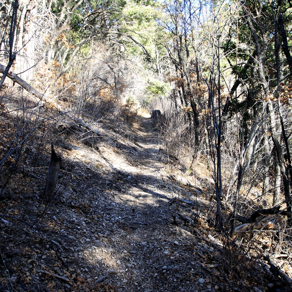 Photo: uıɐɾ ʞ ʇɐɯɐs, CC BY-SA 2.0 (via Flickr)
Road Canyon
~45 min drive
Road Canyon is a 3.20-mile out-and-back trail in New Mexico with 17 ft of elevation gain.
HIKE
Alamo Canyon Trail (104)
~35 min drive
6.94-mile out-and-back trail in New Mexico with 2,708 ft gain.
HIKE
Playa Trail
~6 min drive
The Playa Trail is an easy, 0.5 mile (800m) round-trip, level trail with outdoor exhibits along the way to help you learn and explore this trail and the characteristics that make it special. Follow the green trail markers with a heart symbol that lead to a small playa. On…

