Juniper Campground Loop A
Campground
Campground · 1.6 mi from the trail
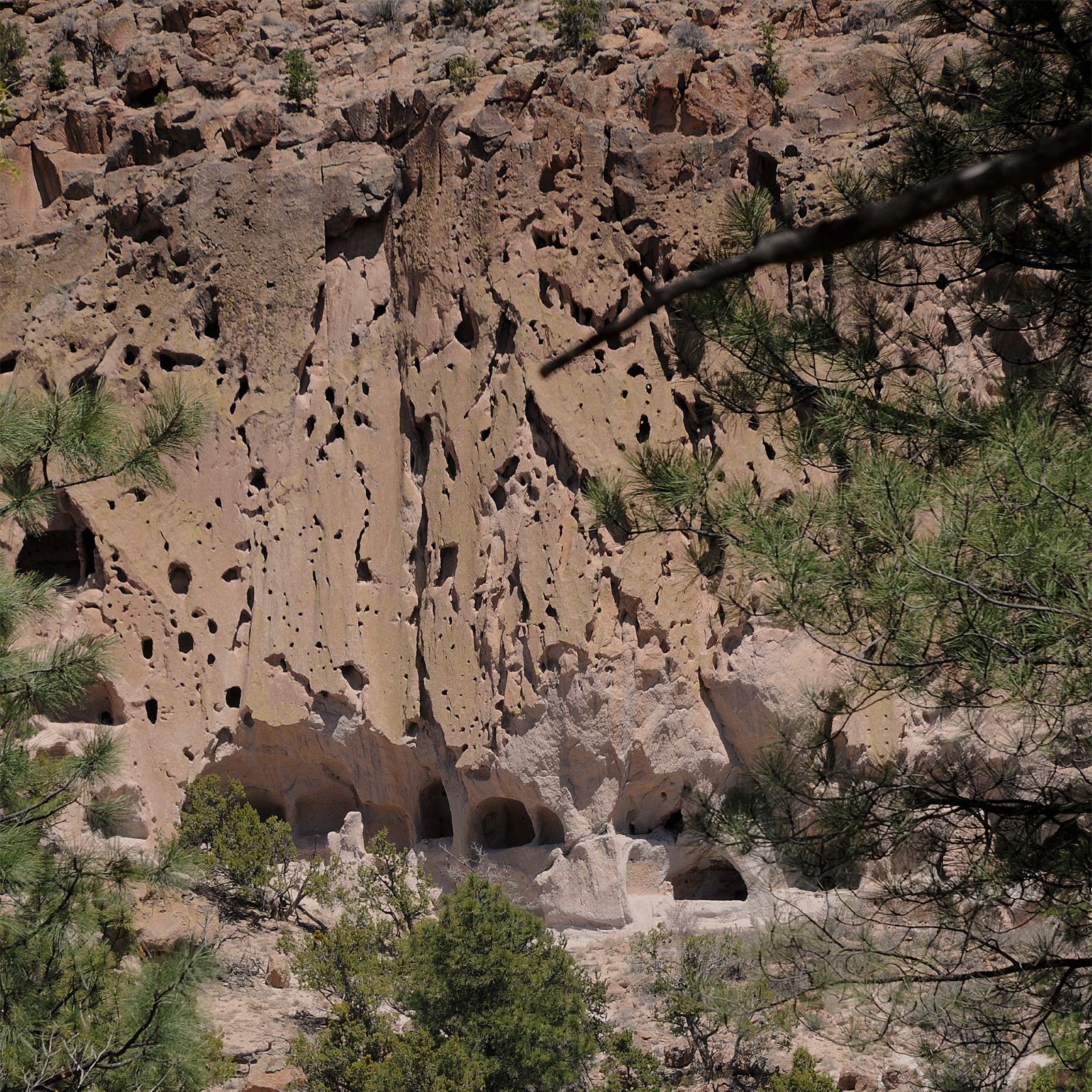 Photo: NPS
Alert in the area
The National Park Service lists an alert for Bandelier National Monument.
The Use of GPS is NOT Recommended
Park alert covering Bandelier National Monument · NPS · Bandelier National Monument
As of · Source: NPS · Bandelier National Monument. Agencies don't list every closure — check before you go.
Falls Trail Tour - Stop 2 is a short, easy hike in Bandelier National Monument in New Mexico, managed by the National Park Service. The route is about 1.2 miles long, with a total elevation gain of 227 feet, and it makes an out-and-back trip of roughly 2.4 miles from a low point of about 5,843 feet to a high of about 6,070 feet. The trail passes through tuff, a soft, porous rock formed from compacted ash flows. The tuff is light in color and sandy, and in some areas it contains lightweight pumice, which creates Swiss cheese-like patterns on the cliffs. The Ancestral Pueblo people carved these eroded areas into cavates, or human-created caves. Spring and fall are the most comfortable times to visit. Typical averages from a nearby weather station at Cochiti Dam show April highs around 71°F and October highs around 74°F, while July and August average in the low 90s. The Falls Trail Tour - Stop 1, Tuff Trail and Falls Trail Tour - Stop 4 all sit about 0.1 mile away. Climbers can find Potrillo Cliffs about 3.2 miles off.
Juniper Campground Loop A
Campground
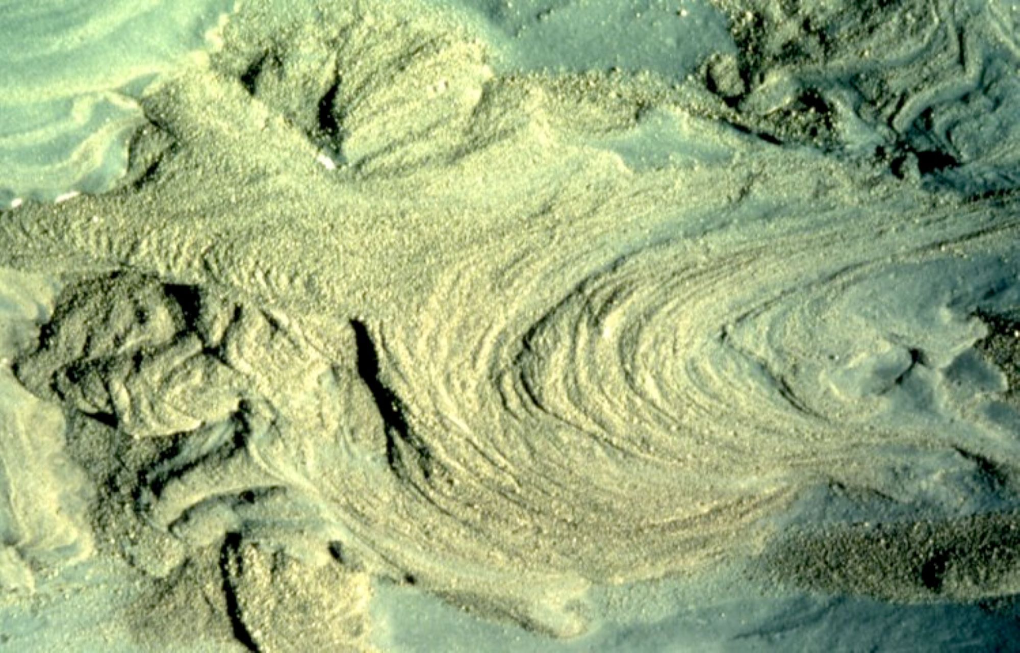
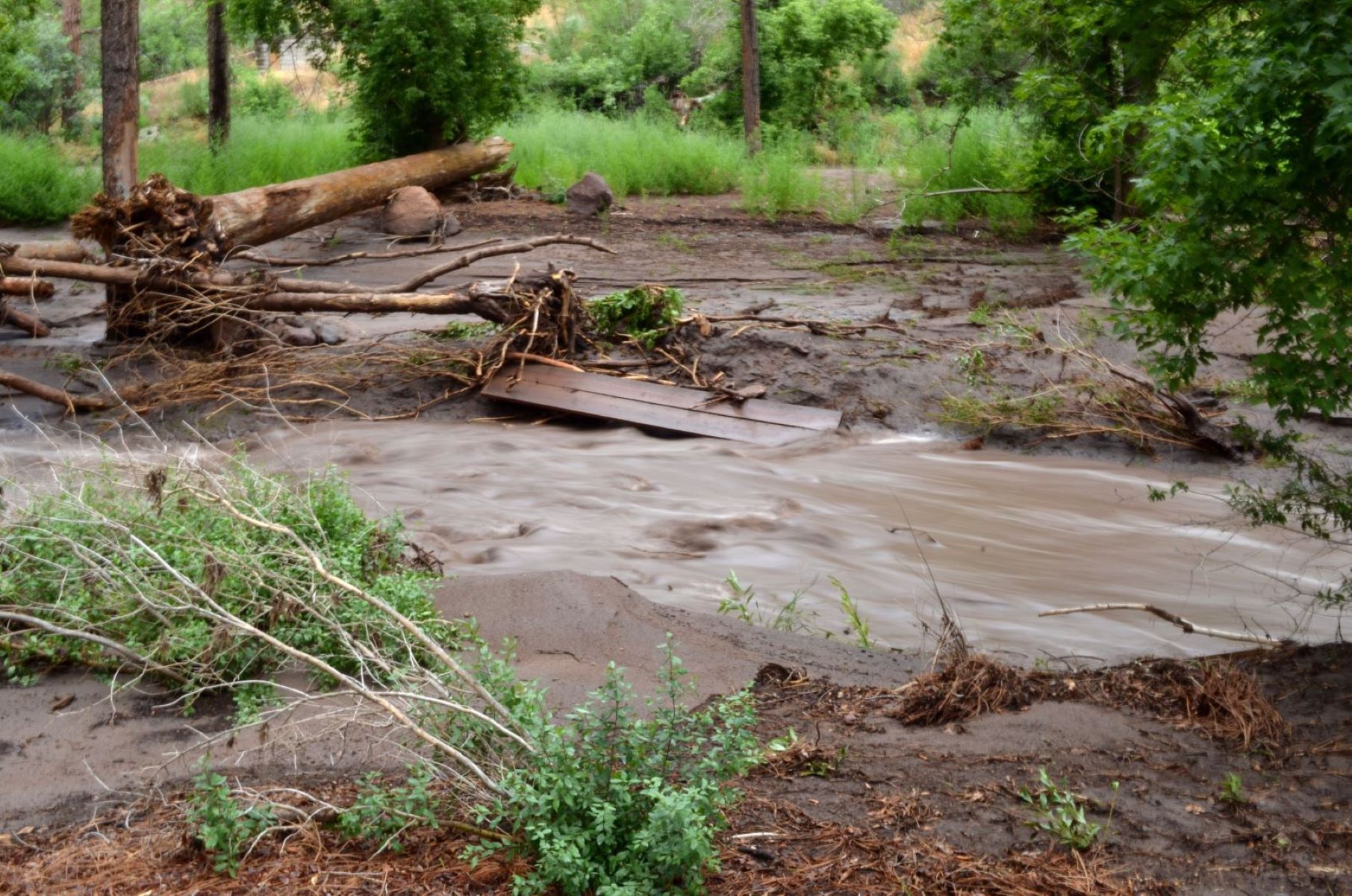
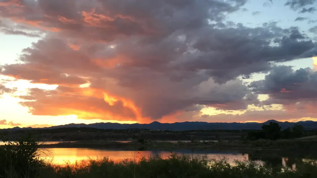
 If it rainsNewMexicophotographer1, CC BY-SA 4.0 · Wikimedia Commons
Places © OpenStreetMap contributors · Photos: NewMexicophotographer1, CC BY-SA 4.0 (commons)
More in Santo Domingo PuebloNot on Roamze yet. Their page has how to reach them.
 Falls Trail Tour - Stop 1HikingPhoto: USGS Photo0.1 mi
 Tuff TrailHikingPhoto: MARELBU, CC BY 3.0 (via Wikimedia Commons)0.1 mi
 Falls Trail Tour - Stop 4HikingPhoto: NPS/Schultz0.1 mi
 Falls TrailHikingPhoto: NPS0.1 mi
 Tetilla PeakCampingPhoto: Recreation.gov (RIDB) / public domain9 mi
Source: Roamze catalog (indexable pages within 10 miles, PostGIS distance)
Tuff TrailHiking · Next doorPhoto: MARELBU, CC BY 3.0 (via Wikimedia Commons) Burro TrailHiking · Next doorPhoto: MARELBU, CC BY 3.0 (via Wikimedia Commons)Frijolito TrailHiking · Next doorPhoto: MARELBU, CC BY 3.0 (via Wikimedia Commons)
Best months: March–May and October. Best months have typical highs of 55–85 °F, lows of 30 °F or warmer (32 °F where the station doesn't record snow), at most one snowy day and no more than 12 wet days.
Jan
50° / 20°
4 wet · 1 snow
Feb
56° / 24°
4 wet · 1 snow
Mar
64° / 30°
4 wet
Apr
71° / 37°
4 wet
May
81° / 46°
5 wet
Jun
92° / 56°
5 wet
Jul
94° / 61°
10 wet
Aug
92° / 59°
10 wet
Sep
86° / 52°
6 wet
Oct
74° / 39°
5 wet
Nov
60° / 28°
4 wet
Dec
50° / 20°
4 wet · 1 snow
Typical high / low (°F) and days with rain or snow, 1991–2020. Measured at Cochiti Dam, NM, 9.9 mi away at 5,560 ft. The station sits about 500 ft lower than this place, so expect it a little cooler here. Source: NOAA NCEI U.S. Climate Normals 1991–2020.
