KOA
Campground
Campground · 6.2 mi from the trail
Closure in the area
There's a closure order in Sandia Ranger District. It doesn't name Del Orno Trail, so check the source for the area it covers (3 listed).
Area Closure for Recreation Residence Structures and Property at 91 Casa Loma Road
Agency closure covering Sandia Ranger District · Order 03-03-05-26-14 · USFS · Sandia Ranger District
Area Closure for Recreation Residence Structures and Property at 69 Casa Loma Road
Agency closure covering Sandia Ranger District · Order 03-03-05-26-13 · USFS · Sandia Ranger District
Area Closure for Sandia Crest “Switchback” Hazard Tree and Fuel Reduction Project
Agency closure covering Sandia Ranger District · Order 03-03-05-26-02 · USFS · Sandia Ranger District
Sandia Ranger District Road & Area Closure for National Forest Road 462 Maintenance
Agency alert covering Sandia Ranger District · Order 03-03-05-26-24 · USFS · Sandia Ranger District
Mountainair and Sandia Ranger Districts Stage 1 Fire Restriction Lifted
Agency alert covering Sandia Ranger District · Order 03-03-00-26-20 · USFS · Sandia Ranger District
As of · Source: USFS · Sandia Ranger District. Agencies don't list every closure — check before you go.
Del Orno Trail is a 1.5-mile out-and-back hike in the Sandia Mountain Wilderness, part of the Sandia Ranger District of Cibola National Forest in New Mexico. The Forest Service manages the land, and the trail lies within designated wilderness. The route starts at 7,424 feet and climbs to a high point of 7,424 feet, with a total gain of 989 feet over the course of the hike. The steepest stretch comes early, at about 0.17 miles in, where the grade reaches 33 percent. The trail is rated moderate, and the trip takes about an hour. For comfortable weather, late spring and early fall are the best bets. Typical averages from a nearby weather station at Sandia Park show May highs around 73°F and September highs around 77°F, with lows in the low 40s. That station sits about 400 feet lower than the trail's high point, so temperatures on the summit run a little cooler. Agua Sarca is about 0.7 miles away, and Tunnel Springs and La Puerta Trail are each about 0.9 miles off. Osha Spring lies roughly 1.5 miles from the trail.
KOA
Campground
 If it rainsJim Legans, Jr from Albuquerque, New Mexico, CC BY 2.0 · Wikimedia Commons
Folk art museum in Sandia Park, New Mexico
Places © OpenStreetMap contributors, Places © Overture Maps Foundation · Photos: Jim Legans, Jr from Albuquerque, New Mexico, CC BY 2.0 (commons)
More in Santo Domingo PuebloNot on Roamze yet. Their page has how to reach them.
 Strip Mine Trail (51)HikingPhoto: John Fowler from Placitas, NM, USA, CC BY 2.0 (via Wikimedia Commons)1.1 mi
Source: Roamze catalog (indexable pages within 10 miles, PostGIS distance)
Strip Mine Trail (51)Hiking · ~2 min drivePhoto: John Fowler from Placitas, NM, USA, CC BY 2.0 (via Wikimedia Commons)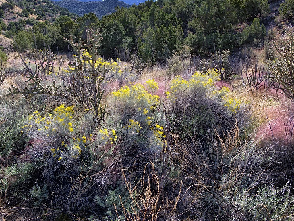 Del Agua TrailHiking · ~4 min drivePhoto: snowpeak, CC BY 2.0 (via Flickr)Agua Sarca TrailHiking · ~3 min drivePhoto: John Fowler from Placitas, NM, USA, CC BY 2.0 (via Wikimedia Commons)
 Penasco BlancoHiking · ~4 min drivePhoto: Matt Lavin, CC BY-SA 2.0 (via Flickr)SidewinderHiking · ~4 min drivePhoto: snowpeak, CC BY 2.0 (via Flickr)
 Piedra Lisa North TrailHiking · ~6 min drivePhoto: uıɐɾ ʞ ʇɐɯɐs, CC BY-SA 2.0 (via Flickr)Tin Shed TrailHiking · ~5 min drivePhoto: uıɐɾ ʞ ʇɐɯɐs, CC BY-SA 2.0 (via Flickr)
Best months: April–October. Best months have typical highs of 55–85 °F, lows of 30 °F or warmer (32 °F where the station doesn't record snow), at most one snowy day and no more than 12 wet days.
Jan
44° / 19°
Feb
48° / 22°
Mar
55° / 26°
Apr
63° / 34°
May
73° / 41°
Jun
83° / 49°
Jul
83° / 53°
Aug
80° / 52°
Sep
77° / 46°
Oct
65° / 36°
Nov
54° / 24°
Dec
43° / 18°
Typical high / low (°F) and days with rain or snow, 1991–2020. Measured at Sandia Park, NM, 6.3 mi away at 7,030 ft. This station doesn't record snowfall. Source: NOAA NCEI U.S. Climate Normals 1991–2020.
Map and trail data © OpenStreetMap contributors

