Campbell Scout Ranch
Campground
Campground · 7.6 mi from the trail
Closure in the area
There's a closure order in Sandia Ranger District. It doesn't name Osha Spring, so check the source for the area it covers (3 listed).
Area Closure for Recreation Residence Structures and Property at 91 Casa Loma Road
Agency closure covering Sandia Ranger District · Order 03-03-05-26-14 · USFS · Sandia Ranger District
Area Closure for Recreation Residence Structures and Property at 69 Casa Loma Road
Agency closure covering Sandia Ranger District · Order 03-03-05-26-13 · USFS · Sandia Ranger District
Area Closure for Sandia Crest “Switchback” Hazard Tree and Fuel Reduction Project
Agency closure covering Sandia Ranger District · Order 03-03-05-26-02 · USFS · Sandia Ranger District
Mountainair and Sandia Ranger Districts Stage 1 Fire Restriction Lifted
Agency alert covering Sandia Ranger District · Order 03-03-00-26-20 · USFS · Sandia Ranger District
Mountainair and Sandia Ranger Districts Stage 1 Fire Restriction Order 03-03-00-26-05
Agency alert covering Sandia Ranger District · Order 03-03-00-26-05 · USFS · Sandia Ranger District
As of · Source: USFS · Sandia Ranger District. Agencies don't list every closure — check before you go.
Osha Spring is a hard hike in the Sandia Ranger District of Cibola National Forest in New Mexico, about 9 miles long with an elevation gain of about 2,700 feet. It starts at a low point of about 6,500 feet and climbs to a high of roughly 9,200 feet, so plan on a full day on foot. The trail is natural-surfaced and closed to bikes. The Forest Service manages the land, and the hike stays open from about April through November. Several other trails and climbing areas sit within about a mile and a half of the route. Palo Duro Canyon Trail is the closest, and Possum Junction and The Temple are climbing areas nearby. Apache Canyon Trail is a little farther out.
Campbell Scout Ranch
Campground
 If it rainsJim Legans, Jr from Albuquerque, New Mexico, CC BY 2.0 · Wikimedia Commons
Folk art museum in Sandia Park, New Mexico
Places © OpenStreetMap contributors · Photos: Jim Legans, Jr from Albuquerque, New Mexico, CC BY 2.0 (commons)
More in Santo Domingo PuebloNot on Roamze yet. Their page has how to reach them.
 Photo: John Fowler from Placitas, NM, USA, CC BY 2.0 (via Wikimedia Commons)
Agua Sarca Trail
~4 min drive
1.26-mile out-and-back trail in New Mexico with 732 ft gain and 9,005 ft max elevation.
 Photo: Matt Lavin, CC BY-SA 2.0 (via Flickr)
Penasco Blanco
~4 min drive
3.32-mile out-and-back trail in New Mexico with 306 ft gain.
HIKE
Palomas Peak Trail (66)
~6 min drive
3.12-mile out-and-back hike in New Mexico with 2,151 ft gain/loss
HIKE
North Mystery Trail
~3 min drive
10.86-mile out-and-back trail in New Mexico with 3,773 ft elevation gain.
Photo: John Fowler from Placitas, NM, USA, CC BY 2.0 (via Wikimedia Commons)Strip Mine Trail (51)
~4 min drive
0.9-mile out-and-back trail in New Mexico with 399 ft gain and 6,320 ft max elevation.
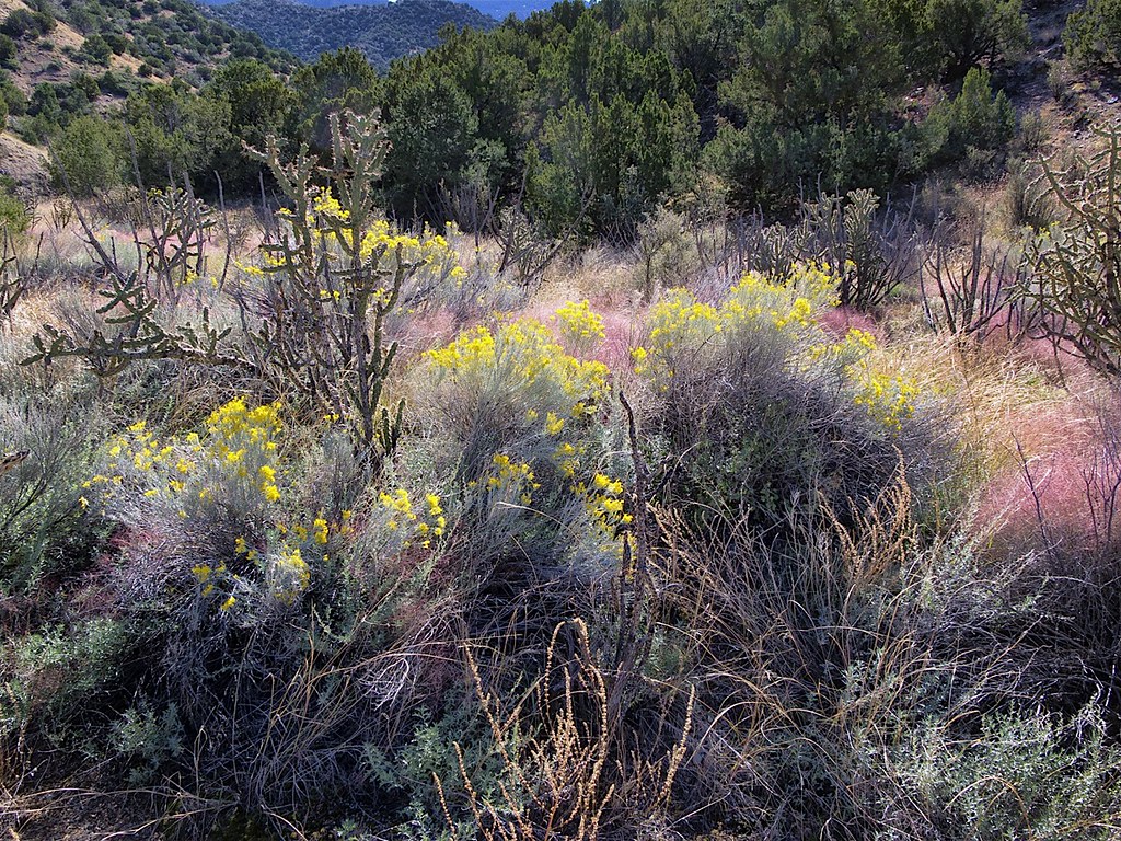 Photo: snowpeak, CC BY 2.0 (via Flickr)
Del Agua Trail
~6 min drive
2.03-mile out-and-back hike in New Mexico with 666 ft elevation gain.
 Photo: BFS Man from Webster, TX, USA, CC BY 2.0 (via Wikimedia Commons)
Las Huertas Pg Loop
~5 min drive
1.00-mile out-and-back trail in New Mexico with 273 ft elevation gain.
Photo: BFS Man from Webster, TX, USA, CC BY 2.0 (via Wikimedia Commons)Las Huertas Trail
~6 min drive
0.7-mile out-and-back hike in New Mexico with 301 ft elevation gain.
Photo: BFS Man from Webster, TX, USA, CC BY 2.0 (via Wikimedia Commons)Overlook Loop
~6 min drive
0.78-mile out-and-back trail in New Mexico with 370 ft elevation gain
 Photo: Matt Lavin, CC BY-SA 2.0 (via Flickr)
Osha Loop
~7 min drive
5.53-mile out-and-back trail in New Mexico with 976 ft gain

