Mt Phillips Camp
Campground
Campground · 0.2 mi from the trail
Comanche Peak Camp to Mount Phillips Camp Trail is a 3.5-mile out-and-back hike in New Mexico's Colin Neblett Wildlife Management Area, managed by State Fish and Wildlife. The route starts and ends at roughly 11,700 feet, with a high point of 11,723 feet and a total elevation gain of 1,112 feet over the course of the trip. The climb is back-loaded, with the steepest stretch at about 0.85 miles in, where the grade reaches 20 percent. The hike is rated moderate, and the estimated time is about 1.5 hours. The trail is close to several other routes. Clear Creek - Mt. Phillips Trail lies just 0.1 mile away, and Comanche Peak Camp to Thunder Ridge Trail and Big Red Peak to Comanche Peak Camp Trail are each about 1.2 miles off. For an overnight stay, Webster Parks Camp is about 4.8 miles away.
Mt Phillips Camp
Campground
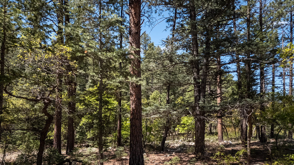
 If it rainsKhlnmusa, CC BY-SA 3.0 · Wikimedia Commons
Places © OpenStreetMap contributors, Places © Overture Maps Foundation · Photos: Khlnmusa, CC BY-SA 3.0 (commons)
More in Arroyo SecoNot on Roamze yet. Their page has how to reach them.
Daily highs and lows, wind and the chance of precipitation at the summit and route start for the next 7 days, from the Open-Meteo model.
Source: Roamze catalog (indexable pages within 10 miles, PostGIS distance)
 Clear Creek TrailHiking · ~6 min drivePhoto: Alexander Hatley, CC BY 2.0 (via Flickr)
 Maverick Canyon TrailHiking · ~8 min drivePhoto: Alexander Hatley, CC BY 2.0 (via Flickr)Maverick TrailHiking · ~9 min drivePhoto: Alexander Hatley, CC BY 2.0 (via Flickr)
About 1.8 mi round trip.
About 1,112 ft of climbing round trip.
It is rated moderate.
About 0.5 hours round trip.
Map and trail data © OpenStreetMap contributors
