Cedar Ridge Trail
- 3.0 mi
- round trip
- 1,106 ft
- climb
- 6,756 ft
- high point
- Out and back
- route
- Apr–May, Jul–Oct
- best months
Cedar Ridge Trail is a moderate hike of about 3 miles in the Bureau of Land Management's Roswell Field Office in eastern New Mexico. The trail is an out-and-back with a total round-trip distance of about 6 miles, and it gains about 1,100 feet from start to finish. The steepest stretch comes around 2.8 miles in, with a 14% grade. Late spring and early fall are the most comfortable times to go. Typical averages from a nearby weather station in Capitan, at a similar elevation, put May highs around 77°F and September highs around 78°F, with lows in the mid-40s. Summer brings more frequent wet days, peaking at about 10 a month in July and August. Several other trails lie close by. East Well Trail and Cave Canyon Trail are each a little over 2 miles away, and Cave Loop is about 3.4 miles off. Rob Jagger's Campground, roughly 3.5 miles away, is the nearest place to camp.
- East Well TrailHiking2.5 mi
- Cave Canyon TrailHiking2.7 mi
- Cave LoopHiking3.4 mi
- Rob Jagger's CampgroundCamping3.5 mi
- Deer Valley TrailHiking4.5 mi
- Padilla TrailHiking6.4 mi
- Rio Bonito TrailHiking6.8 mi
- Rio RuidosoCanoeing8.5 mi
Source: Roamze catalog (indexable pages within 10 miles, PostGIS distance)
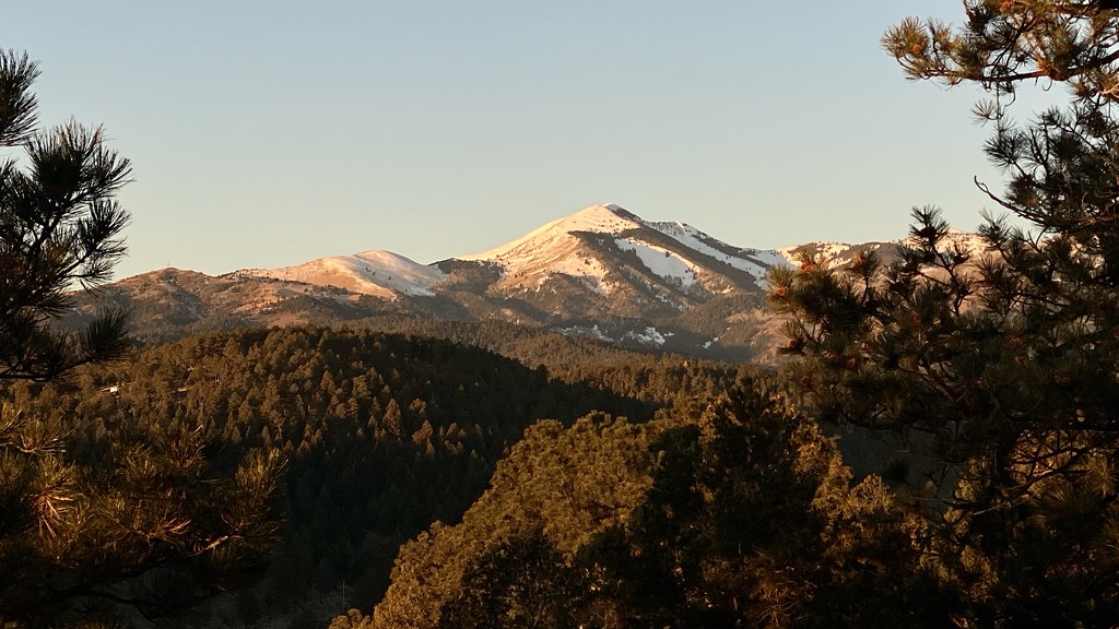 Alto Eagle Creek ShortcutHiking · ~24 min drivePhoto: joncutrer, CC BY 2.0 (via Flickr)
- East Well TrailHiking · ~4 min drive
- South BaseHiking · ~12 min drive
- Alto Eagle Creek TrailHiking · ~24 min drivePhoto: joncutrer, CC BY 2.0 (via Flickr)
- Cave Canyon TrailHiking · ~5 min drive
- South Base TrailHiking · ~16 min drive
- Alto Reservoir Loop TrailHiking · ~24 min drivePhoto: joncutrer, CC BY 2.0 (via Flickr)
- Thorium CanyonHiking · ~13 min drive
- SummitHiking · ~17 min drive
- Cave LoopHiking · ~6 min drive
Best time to visit Cedar Ridge Trail
Best months: April–May and July–October. Best months have typical highs of 55–85 °F, lows of 30 °F or warmer (32 °F where the station doesn't record snow), at most one snowy day and no more than 12 wet days.
Jan
51° / 24°
4 wet · 3 snow
Feb
55° / 27°
3 wet · 2 snow
Mar
62° / 30°
3 wet · 2 snow
Apr
69° / 36°
3 wet · 1 snow
May
77° / 44°
4 wet
Jun
87° / 51°
6 wet
Jul
85° / 55°
10 wet
Aug
83° / 54°
10 wet
Sep
78° / 48°
7 wet
Oct
70° / 38°
4 wet
Nov
60° / 29°
3 wet · 1 snow
Dec
50° / 24°
4 wet · 3 snow
Typical high / low (°F) and days with rain or snow, 1991–2020. Measured at Capitan, NM, 8.4 mi away at 6,480 ft. Source: NOAA NCEI U.S. Climate Normals 1991–2020.
Map and trail data © OpenStreetMap contributors
