Cabezon Peak Trail
- 1.0 mi
- round trip
- 125 ft
- climb
- 6,461 ft
- high point
- Out and back
- route
- Apr–May, Sep–Oct
- best months
Cabezon Peak Trail is a short, easy hike on Bureau of Land Management land in the Rio Puerco Field Office of New Mexico, about a mile from the town of Cabezon. The trail is an out-and-back that starts and ends at about 6,337 feet, with a high point of 6,461 feet and a total climb of about 125 feet one way. The steepest stretch comes near the middle of the route, with a grade of about 5%. Spring and fall are the most comfortable times to go. Typical averages from a nearby weather station at Torreon Navajo Mission show May highs around 77°F and October highs around 69°F, while July and August average about 90°F and bring the most wet days of the year. The Cabezon Loop Trail lies about 1.3 miles away, and the Cabezon Peak climbing area is about 1.5 miles off. Cerro Guadalupe, another climbing area, is about 2.4 miles away, and Canyon Tapia is about 6.4 miles away.
- Cabezon Loop TrailHiking1.3 mi
- Cabezon PeakRock climbing1.5 mi
- Cerro GuadalupeRock climbing2.4 mi
 Canyon TapiaHikingPhoto: bspencer505, CC BY 3.0 (via Wikimedia Commons)6.4 mi
Source: Roamze catalog (indexable pages within 10 miles, PostGIS distance)
- Canyon TapiaHiking · ~11 min drivePhoto: bspencer505, CC BY 3.0 (via Wikimedia Commons)
 White Mesa Bike TrailHiking · ~27 min drivePhoto: Matt Lavin, CC BY-SA 2.0 (via Flickr)
- CdtHiking · ~18 min drive
 Ojito Wilderness TrailHiking · ~21 min drivePhoto: John Fowler from Placitas, NM, USA, CC BY 2.0 (via Wikimedia Commons)
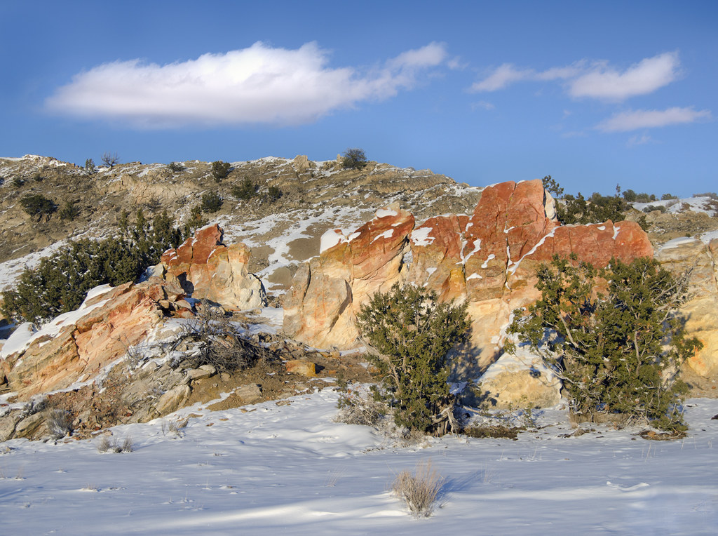 Dragon's Back TrailHiking · ~29 min drivePhoto: snowpeak, CC BY 2.0 (via Flickr)
- Jones Canyon TrailHiking · ~18 min drive
- Lookout LoopHiking · ~22 min drivePhoto: John Fowler from Placitas, NM, USA, CC BY 2.0 (via Wikimedia Commons)
 Monastery TrailHiking · ~47 min drivePhoto: RuggyBearLA, CC BY-SA 2.0 (via Flickr)
- Cdt - New Mexico SectionHiking · ~27 min drive
- Seismosaurus TrailHiking · ~24 min drivePhoto: John Fowler from Placitas, NM, USA, CC BY 2.0 (via Wikimedia Commons)
Best time to visit Cabezon Peak Trail
Best months: April–May and September–October. Best months have typical highs of 55–85 °F, lows of 30 °F or warmer (32 °F where the station doesn't record snow), at most one snowy day and no more than 12 wet days.
Jan
44° / 17°
4 wet · 3 snow
Feb
50° / 21°
4 wet · 2 snow
Mar
60° / 26°
4 wet · 1 snow
Apr
68° / 32°
3 wet · 1 snow
May
77° / 41°
4 wet
Jun
88° / 50°
3 wet
Jul
90° / 57°
7 wet
Aug
87° / 55°
8 wet
Sep
80° / 48°
6 wet
Oct
69° / 35°
4 wet
Nov
55° / 25°
3 wet · 1 snow
Dec
44° / 17°
4 wet · 2 snow
Typical high / low (°F) and days with rain or snow, 1991–2020. Measured at Torreon Navajo Mission, NM, 14.4 mi away at 6,700 ft. Source: NOAA NCEI U.S. Climate Normals 1991–2020.

Map and trail data © OpenStreetMap contributors
