

Turquoise Trail Campground
Hiking business nearby (~48 mi away) — hasn't claimed their Roamze page yet
Free — you'll pick up right here.
Watch this trail
Sign up to watch it — saving subscribes you to gate, closure and report changes.
New Mexico
0.9 mi
Distance
994 ft
Gain
No agency boundary, access route or field report is mapped to it — so there is no verdict, and we won't guess. We'll tell you the moment this trail has something to say.
Covered nearby
Trails within 25 miles where we do have a current picture.
Nobody's filed a report here yet — be the first.
Why you'll love it
Blue Dot Trail
AI-suggested draft · review before you go
No permit or access details on file for this trail — check with the local land manager before you go.
The Blue Dot Trail is a short, steep ascent offering excellent bang-for-your-buck elevation gain in a compact package. This nearly-one-mile trail climbs almost 1,000 feet through New Mexico terrain, making it an ideal choice for hikers seeking an intense cardiovascular workout without committing to a full day on the trail. The dramatic elevation change rewards effort with expanded vistas typical of the region's high desert landscape.
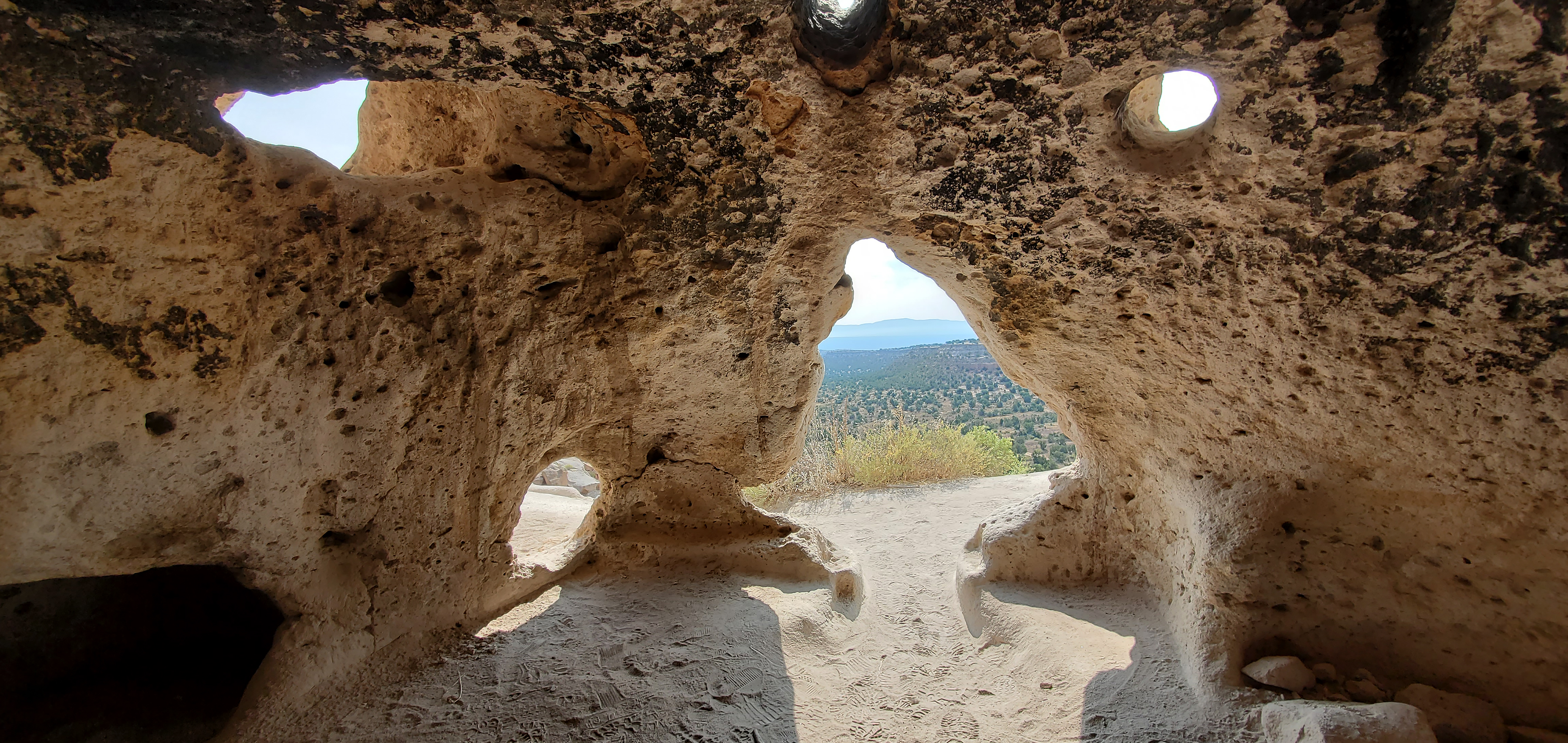
Carved Trail Tsankawi Guided Hike Stop 16
~6 min drive
From this point forward, you will be walking in a trail carved into the volcanic tuff. The rock is very soft and malleable. It is very important to stay on the trail. In just a very short time, our shoes can do more damage than many years of erosion. Thank you for helping…
Soda Springs
~2 min drive
Moderate 8-mile hike to natural springs with 709 ft elevation gain.
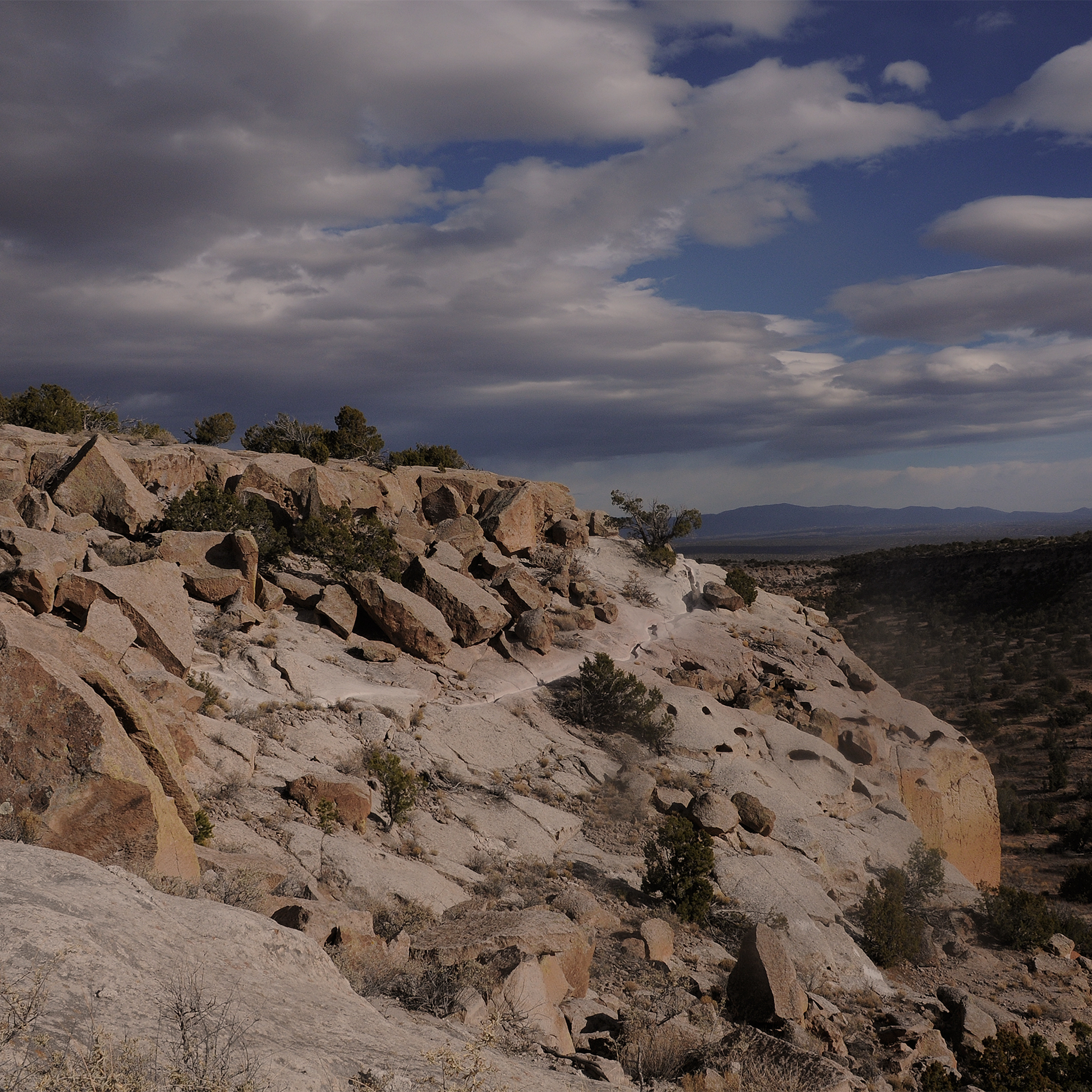
More Than History Tsankawi Guided Hike Stop 1
~6 min drive
No Pueblo people live at Tsankawi today. However, this place still contains tangible and intangible connections with the past for the descendants of the people who once occupied these canyons and mesas. A petroglyph (image etched into rock) carved into the soft stone walls o…
Cuesta Colorada
~6 min drive
Easy 2.4-mile trail with gentle elevation gain near Cuesta Colorada.
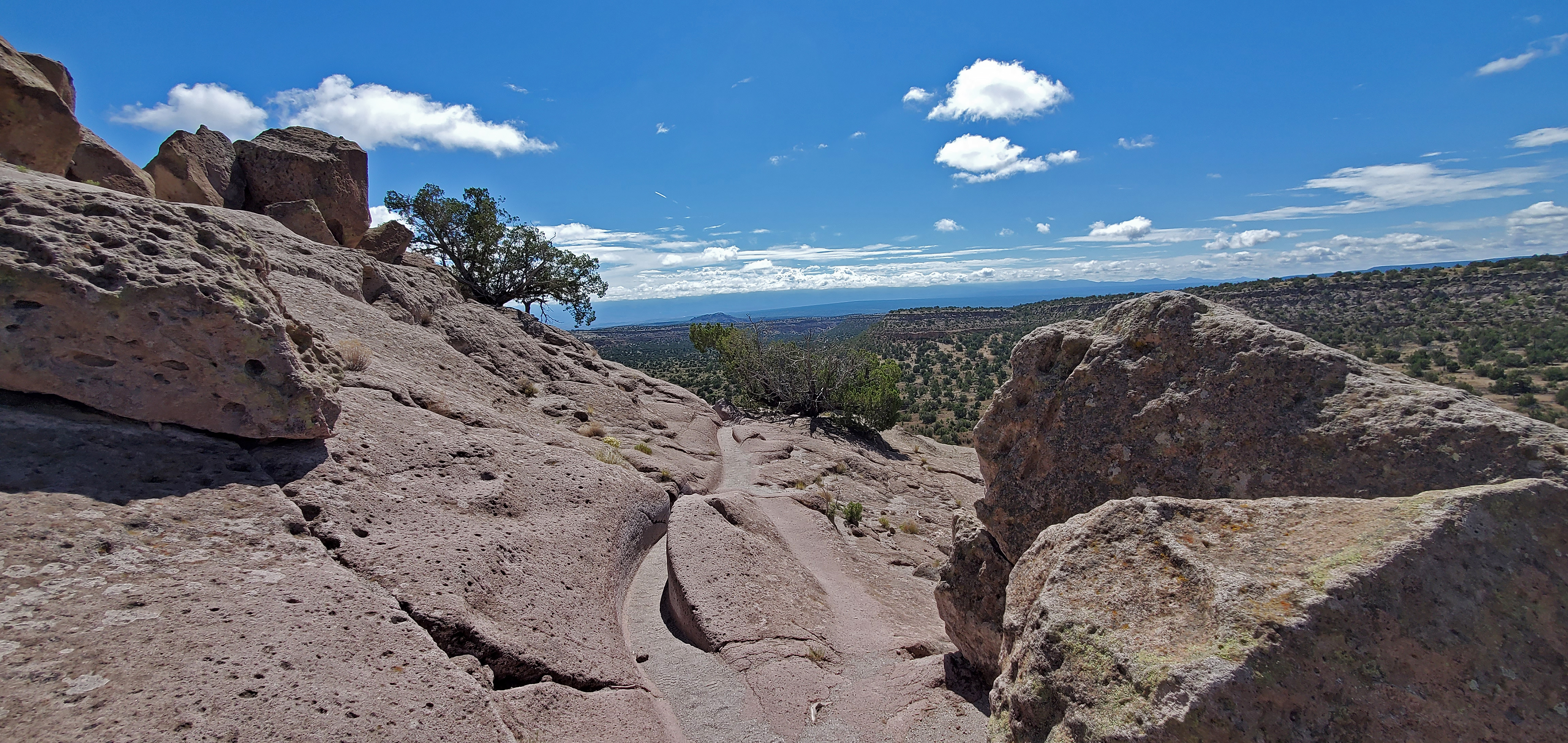
Intro Tsankawi Guided Hike Stop 0
~6 min drive
Tsankawi is part of the ancestral lands of the modern pueblo of San Ildefonso. Using the soft volcanic rock to construct houses and the flat open lands between mesas for farming, Ancestral Pueblo people called this place home in the 1400’s and 1500’s. Life was not easy on th…
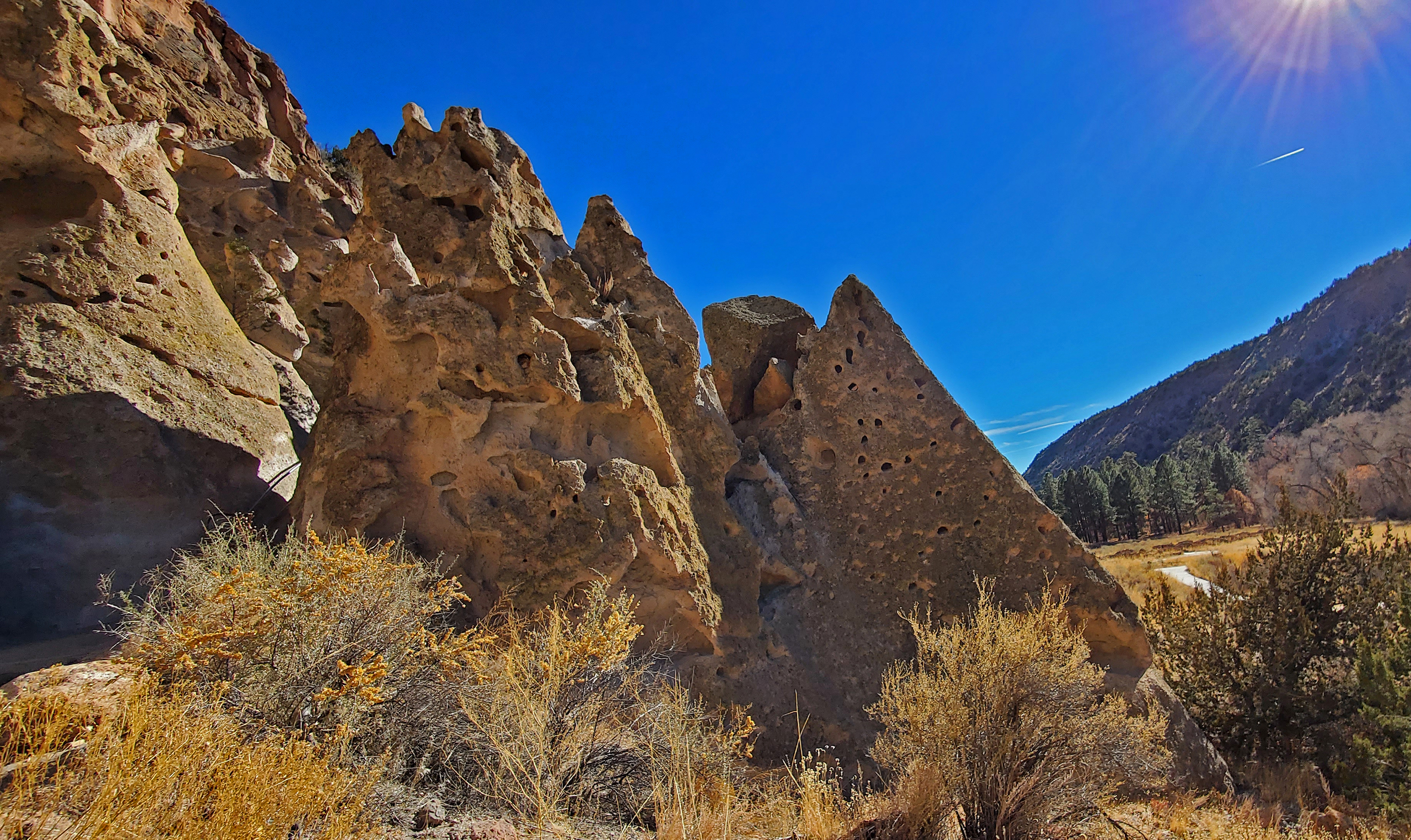
Soft Rock Pueblo Loop Trail Stop 10
~10 min drive
The cliff in front of you has numerous holes, some big and some small. These holes are created by wind and water erosion of the volcanic tuff we talked about earlier. Water freezes and thaws in the permeable rock breaking off big and small pieces (most are microscopic). Wind p…
First Cavate Pueblo Loop Trail Stop 11
~10 min drive
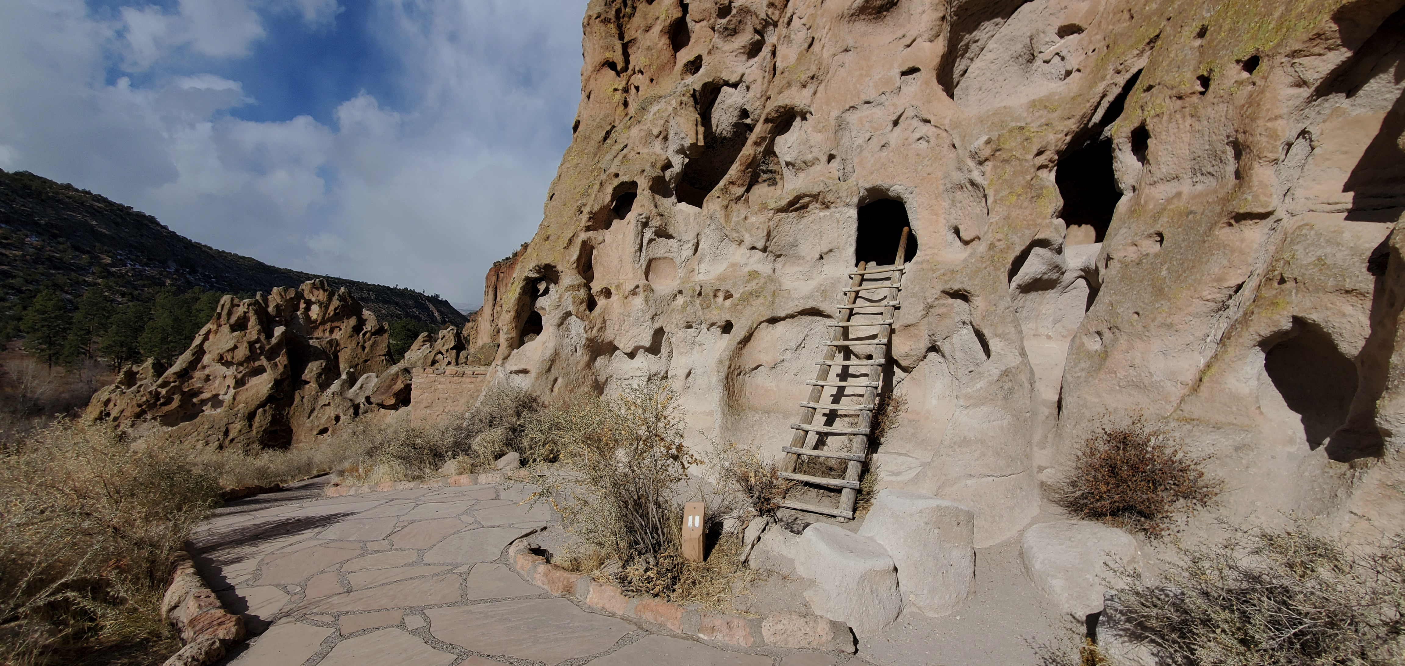
You have arrived at the first of three ladders you can climb into cavates (CAVE-eights), human excavated openings. Although sometimes used for housing, the main purpose of cavates was often food storage. Remember the Ancestral Pueblo people lived here for over 400 years and th…
Falls Trail Tour - Introduction
~10 min drive
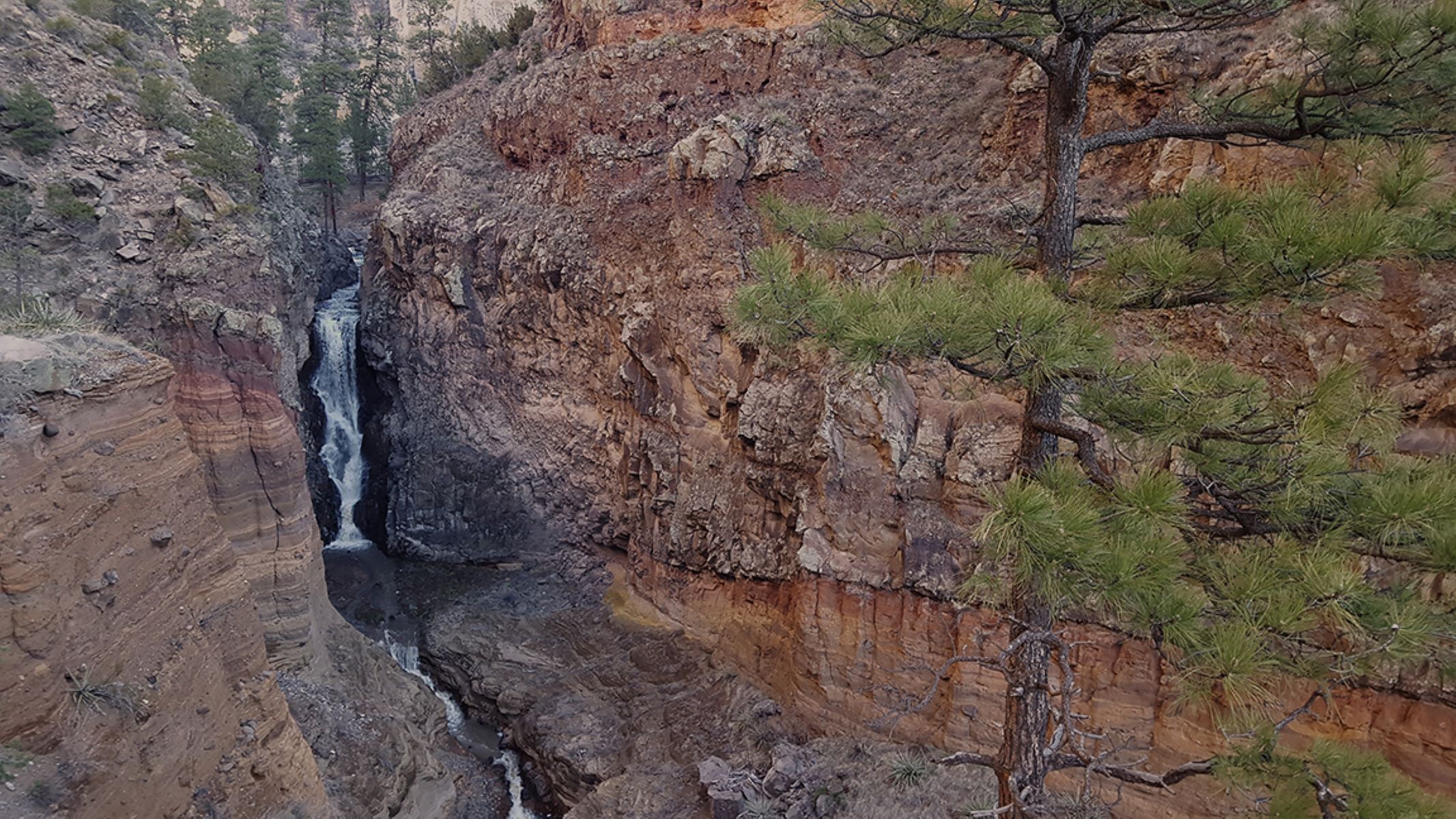
<p>Frijoles Canyon is a lush green ribbon in this arid environment. Creekside areas, known as riparian zones, are home to an amazing diversity of plant and animal life due to the relative abundance of water. Frijoles Creek is a permanent stream (runs year-round) for most of it…
Ancient Life Pueblo Loop Trail Stop 1
~10 min drive
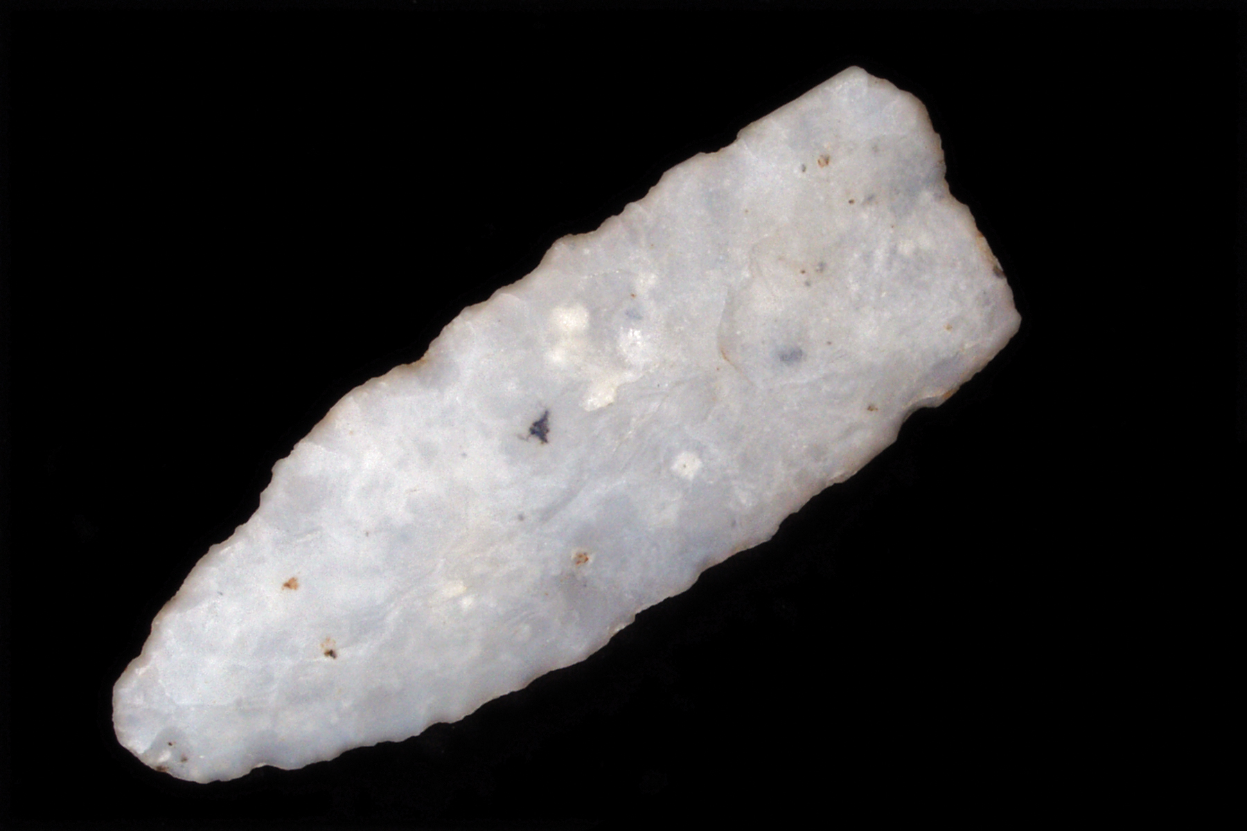
Welcome to the Main or Pueblo Loop Trail. This trail is 1.4 miles roundtrip and will take you past many archeological sites. Portions of the trail are relatively flat and can be traveled by wheelchairs and strollers. Other sections have numerous narrow stairs and can be diffic…
Falls Trail
~10 min drive
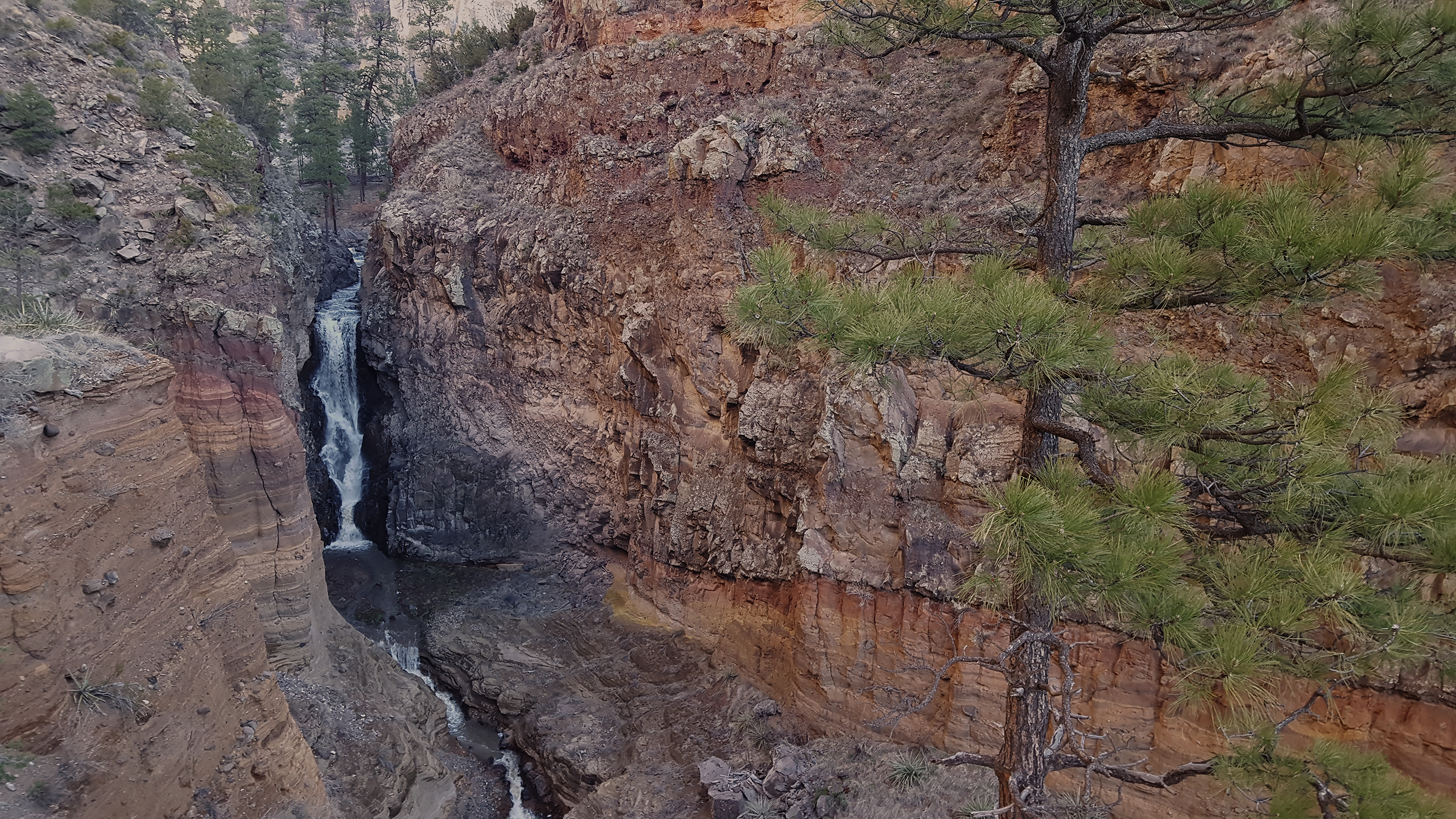
The Falls Trail begins a short distance from the park visitor center and travels down Frijoles Canyon to an 80 foot waterfall (unfortunately often dry in summer). The roundtrip is 3 miles with 400 foot elevation change. Lots of cool geology, plants, and wildlife on this hike t…
Local operatorsoffering guided trips. You book directly with them — Roamze doesn’t take a cut.
Turquoise Trail Campground
Hiking business nearby (~48 mi away) — hasn't claimed their Roamze page yet