Main Gate Park RV Park
Campground
Campground · 2.1 mi from the trail
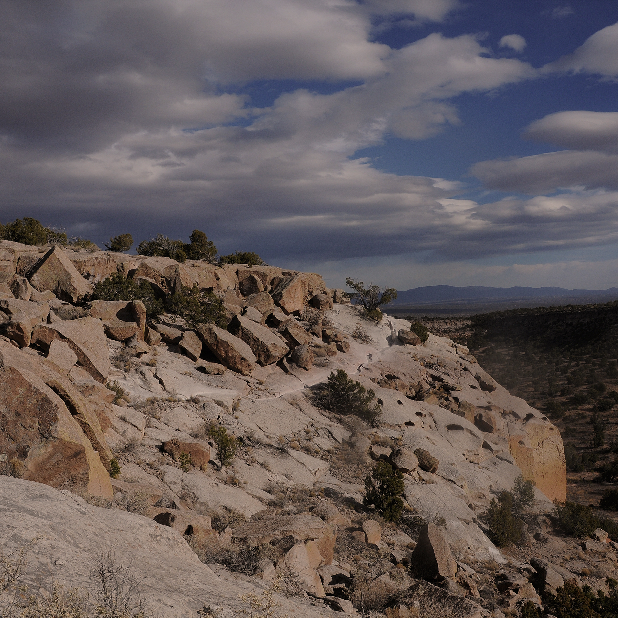 Photo: NPS
Alert in the area
The National Park Service lists an alert for Bandelier National Monument.
The Use of GPS is NOT Recommended
Park alert covering Bandelier National Monument · NPS · Bandelier National Monument
As of · Source: NPS · Bandelier National Monument. Agencies don't list every closure — check before you go.
More Than History Tsankawi Guided Hike Stop 1 is a stop on a guided hike at Bandelier National Monument in New Mexico, managed by the National Park Service. It sits within the monument's land, and a fee is charged for the visit. Spring and fall are the most comfortable times to go. Typical averages from a nearby weather station in Los Alamos show May highs around 70°F and October highs around 63°F, while July and August bring the most wet days, about 13 to 14 a month. The Tsankawi Trail starts just 0.1 mile away, and the Carved Trail Tsankawi Guided Hike Stop 16 is about half a mile off. Climbers can find The Y and Y - North Side roughly 1.2 miles away, and the Anniversary Trail is about 1.3 miles away.
Main Gate Park RV Park
Campground
El Rigoberto's Tacos
Restaurant
 If it rainsNewMexicophotographer1, CC BY-SA 4.0 · Wikimedia Commons
Places © OpenStreetMap contributors · Photos: NewMexicophotographer1, CC BY-SA 4.0 (commons)
More in Santo Domingo PuebloBest months: April–June and September–October. Best months have typical highs of 55–85 °F, lows of 30 °F or warmer (32 °F where the station doesn't record snow), at most one snowy day and no more than 12 wet days.
Jan
40° / 21°
6 wet
Feb
45° / 24°
6 wet
Mar
53° / 30°
7 wet
Apr
61° / 35°
6 wet
May
70° / 44°
6 wet
Jun
81° / 53°
7 wet
Jul
83° / 57°
13 wet
Aug
80° / 55°
14 wet
Sep
74° / 49°
9 wet
Oct
63° / 38°
6 wet
Nov
50° / 28°
5 wet
Dec
40° / 21°
6 wet
Typical high / low (°F) and days with rain or snow, 1991–2020. Measured at Los Alamos, NM, 5.6 mi away at 7,424 ft. The station sits about 900 ft higher than this place, so expect it a little warmer here. This station doesn't record snowfall. Source: NOAA NCEI U.S. Climate Normals 1991–2020.
 Photo: Paul and Jill, CC BY 2.0 (via Flickr)
Tsankawi Trail
Next door
1.44-mile out-and-back hike in New Mexico with 755 ft gain.
HIKE
Carved Trail Tsankawi Guided Hike Stop 16
Next door
From this point forward, you will be walking in a trail carved into the volcanic tuff. The rock is very soft and malleable. It is very important to stay on the trail. In just a very short time, our shoes can do more damage than many years of erosion. Thank you for helping…
 Photo: davidwilson1949, CC BY 2.0 (via Flickr)
Tent Rocks Trail
~3 min drive
4.36-mile out-and-back hike in New Mexico with 911 ft elevation gain.
 Photo: BFS Man from Webster, TX, USA, CC BY 2.0 (via Wikimedia Commons)
River Trail
~6 min drive
Moderate 6.83-mile riverside hike with 1,055 ft elevation gain.
HIKE
Intro Tsankawi Guided Hike Stop 0
Next door
Tsankawi is part of the ancestral lands of the modern pueblo of San Ildefonso. Using the soft volcanic rock to construct houses and the flat open lands between mesas for farming, Ancestral Pueblo people called this place home in the 1400’s and 1500’s. Life was not easy on th…
 Photo: BFS Man from Webster, TX, USA, CC BY 2.0 (via Wikimedia Commons)
Diablo Canyon Trail
~6 min drive
3.10-mile out-and-back hike in New Mexico with 951 ft elevation gain.
Photo: davidwilson1949, CC BY 2.0 (via Flickr)Kwage Mesa Utility Road
~4 min drive
0.46-mile out-and-back trail with 139 ft gain in New Mexico.
HIKE
Camp Hamilton Trail
~3 min drive
Quick 2-mile climb with 680 ft gain near Camp Hamilton.
Photo: davidwilson1949, CC BY 2.0 (via Flickr)Fireline Trail
~4 min drive
1.84-mile out-and-back trail in New Mexico with 249 ft gain.
HIKE
Potrillo Canyon Loop
~6 min drive
Easy 3.34-mile canyon loop with 294 ft elevation gain.

