

Turquoise Trail Campground
Hiking business nearby (~47 mi away) — hasn't claimed their Roamze page yet
Free — you'll pick up right here.
Watch this trail
Sign up to watch it — saving subscribes you to gate, closure and report changes.
New Mexico
11.0 mi
Distance
853 ft
Gain
No agency boundary, access route or field report is mapped to it — so there is no verdict, and we won't guess. We'll tell you the moment this trail has something to say.
Covered nearby
Trails within 25 miles where we do have a current picture.
Nobody's filed a report here yet — be the first.
Why you'll love it
El Camino Real Historic Route Trail
AI-suggested draft · review before you go
No permit or access details on file for this trail — check with the local land manager before you go.
El Camino Real Historic Route Trail follows one of North America's most significant historic trade routes, spanning 11 miles through New Mexico's diverse landscape. This trail combines cultural heritage with scenic desert and semi-arid terrain, offering hikers a chance to walk in the footsteps of Spanish conquistadors, Native Americans, and early settlers. The moderate elevation gain provides a manageable challenge while rewarding visitors with historical significance and panoramic views of the surrounding region.
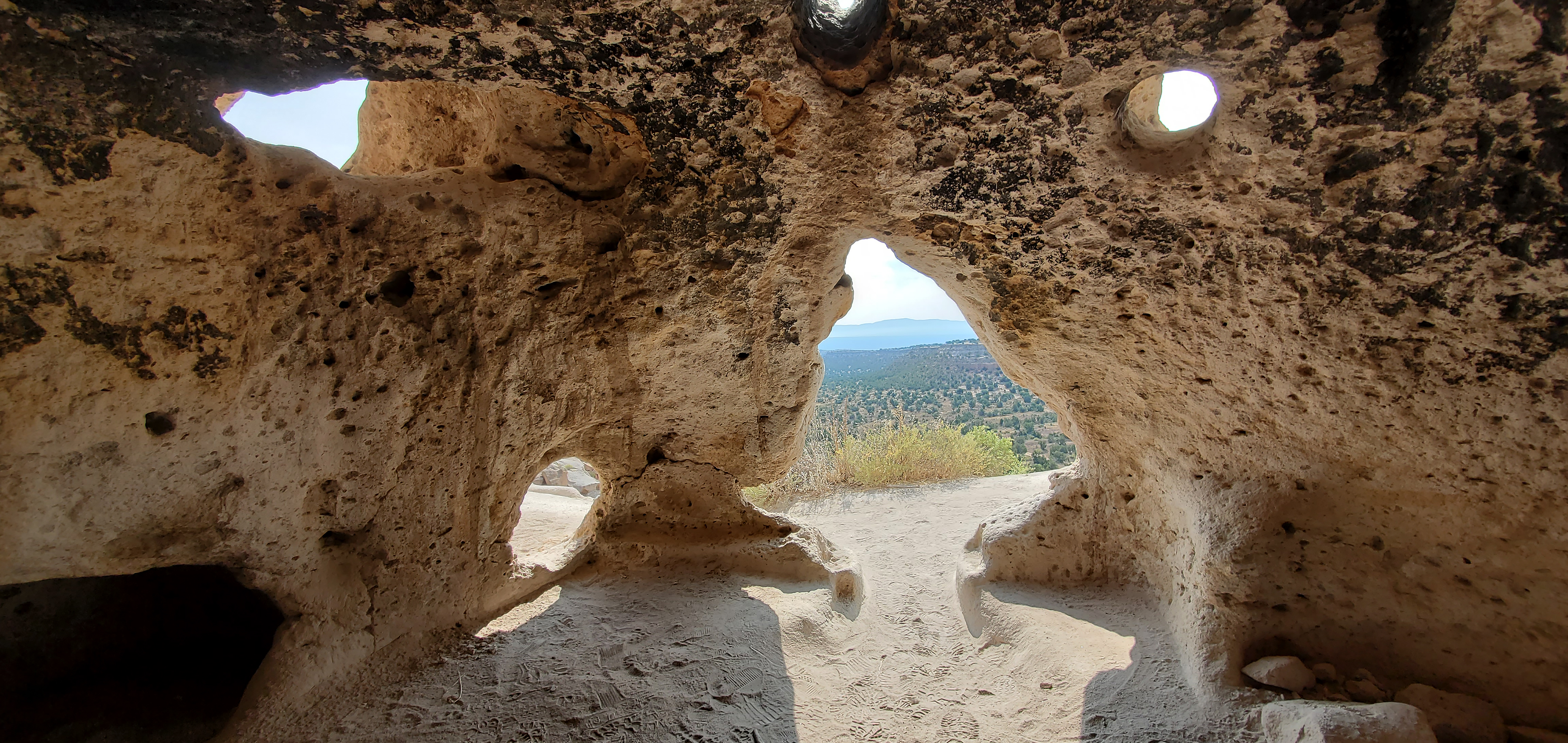
Carved Trail Tsankawi Guided Hike Stop 16
~10 min drive
From this point forward, you will be walking in a trail carved into the volcanic tuff. The rock is very soft and malleable. It is very important to stay on the trail. In just a very short time, our shoes can do more damage than many years of erosion. Thank you for helping…
Soda Springs
~3 min drive
Moderate 8-mile hike to natural springs with 709 ft elevation gain.
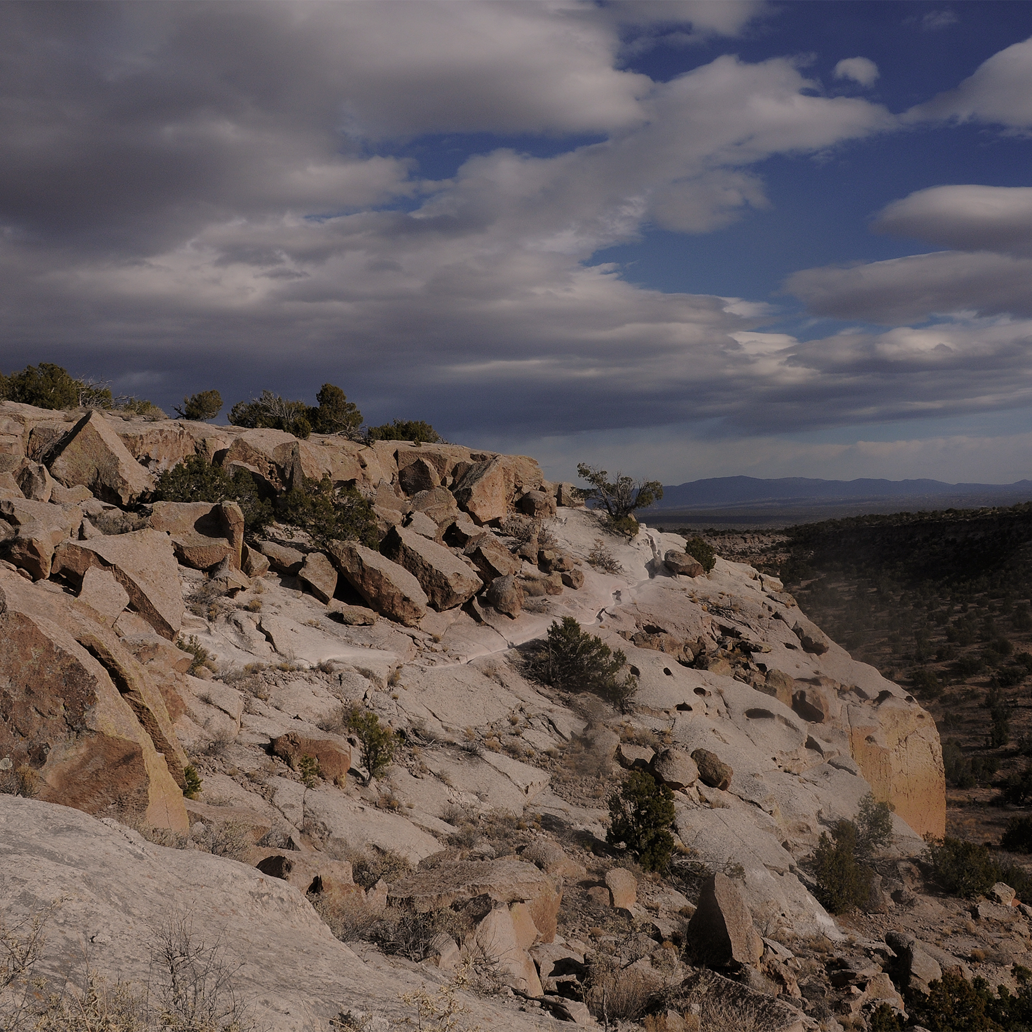
More Than History Tsankawi Guided Hike Stop 1
~11 min drive
No Pueblo people live at Tsankawi today. However, this place still contains tangible and intangible connections with the past for the descendants of the people who once occupied these canyons and mesas. A petroglyph (image etched into rock) carved into the soft stone walls o…
Cuesta Colorada
~7 min drive
Easy 2.4-mile trail with gentle elevation gain near Cuesta Colorada.
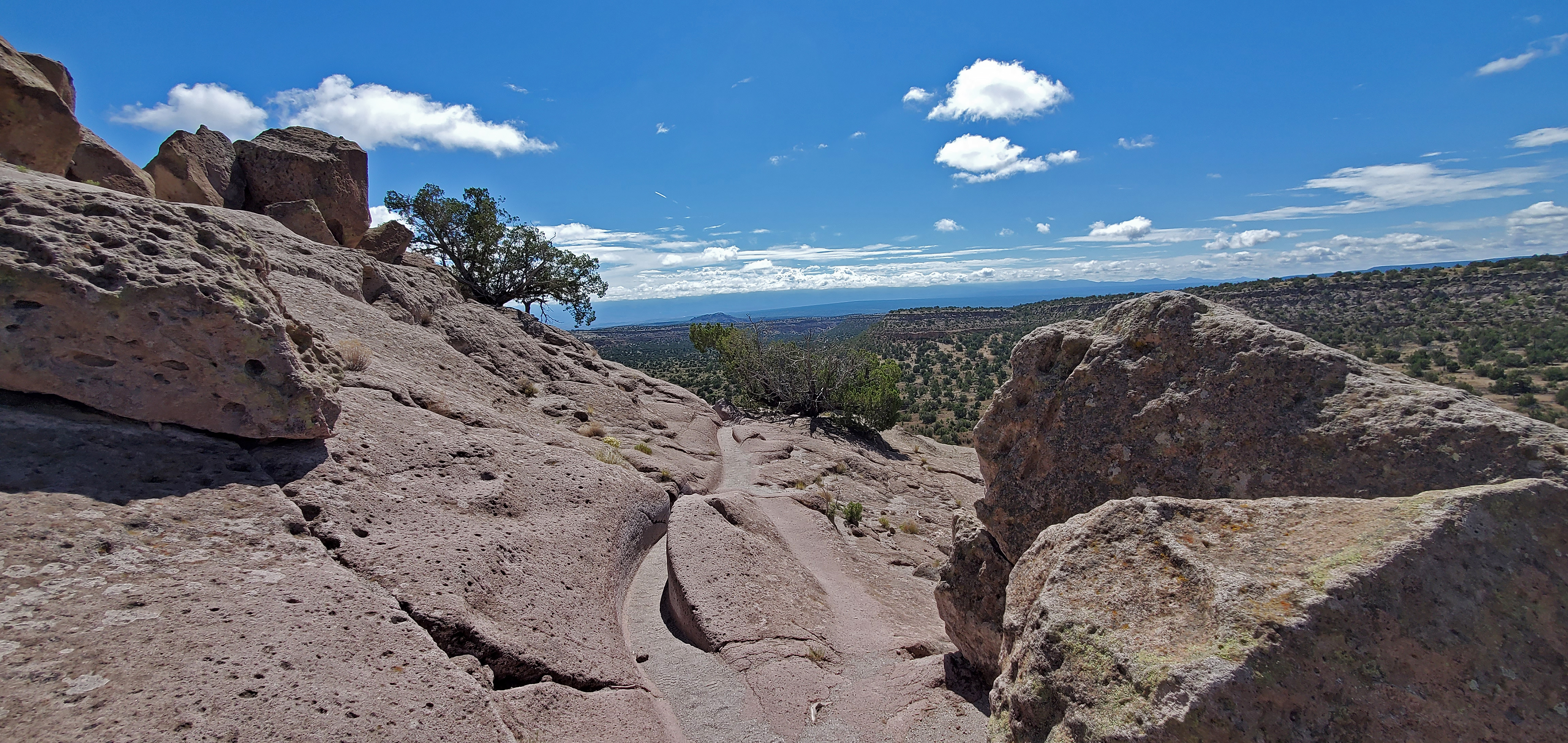
Intro Tsankawi Guided Hike Stop 0
~11 min drive
Tsankawi is part of the ancestral lands of the modern pueblo of San Ildefonso. Using the soft volcanic rock to construct houses and the flat open lands between mesas for farming, Ancestral Pueblo people called this place home in the 1400’s and 1500’s. Life was not easy on th…
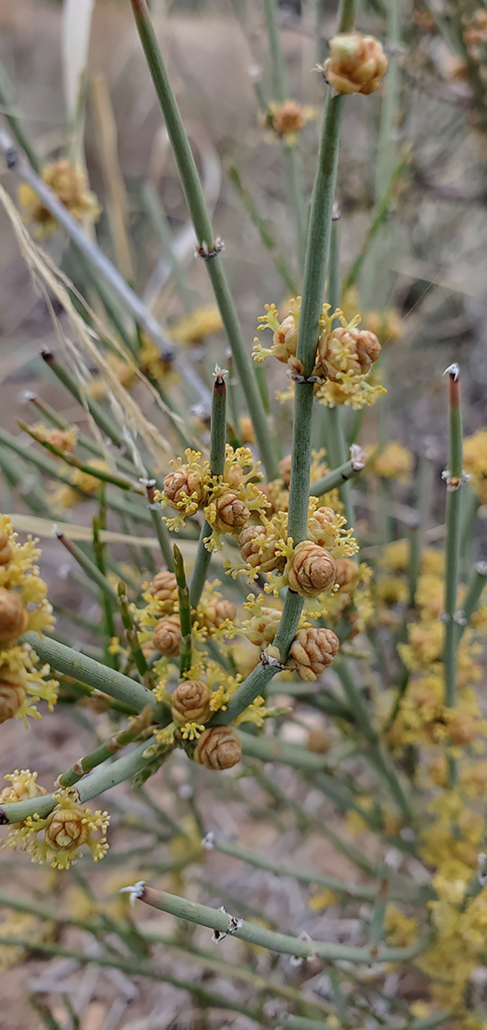
Falls Trail Tour - Stop 13
~13 min drive
<p>Are you starting to notice some new plants? Leaving behind the towering ponderosas and scrubby oaks, you are now passing broad-leaved yucca (<i>Yucca baccata</i>), mormon tea (<i>Ephedra viridis</i>), and walkingstick cholla (<i>Opuntia imbricate</i>). The environment here…
Falls Trail Tour - Stop 15
~13 min drive
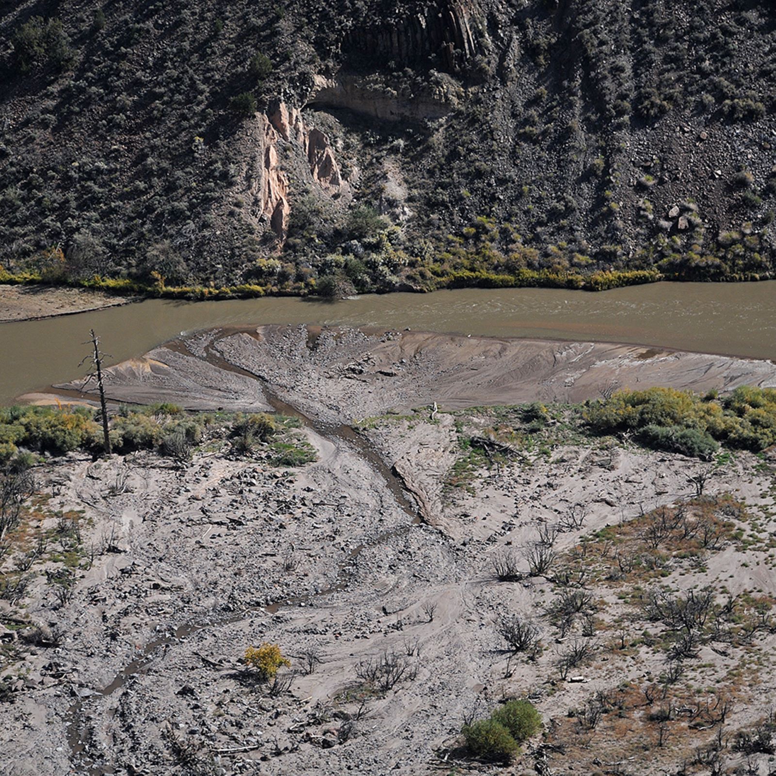
<p>See if you can spot where Frijoles Creek joins the Rio Grande. In 2011 the massive Las Conchas wildfire heavily burned the upper reaches of this canyon. In the years that followed, several huge floods changed the landscape of Frijoles Canyon. The creek normally flows around…
Falls Trail Tour - Stop 14
~13 min drive
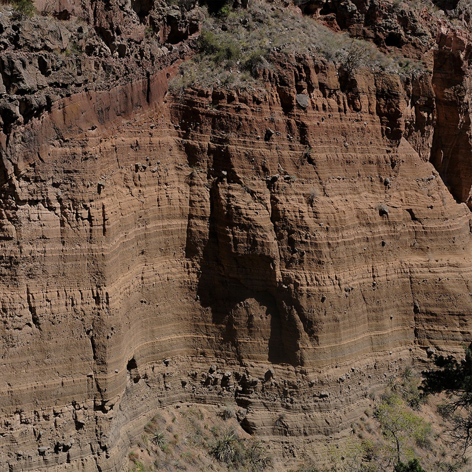
<p>Across the canyon, you can see layered volcanic rock. These are sediments from an ancient maar volcano. A maar volcano is one that erupts through water, such as an underground aquifer. When underground water is suddenly heated, it expands into a significant volume of steam.…
Falls Trail Tour - Stop 16
~13 min drive
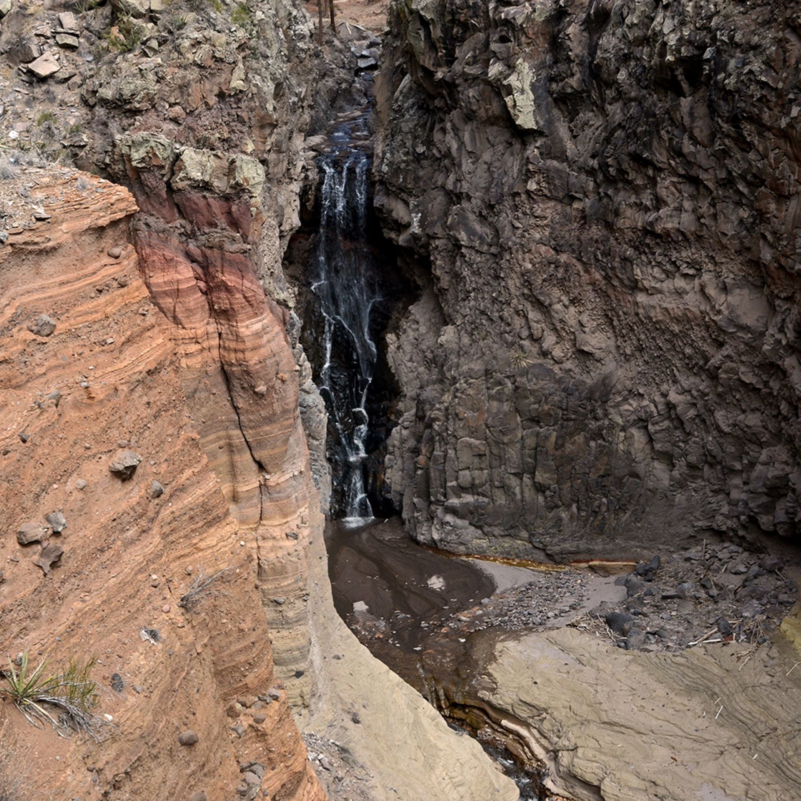
<p>Upper Falls was created by magma that cooled in the throat of the volcano as the eruptions ceased. This durable stone was resistant to erosion and withstood the downcutting of Frijoles Creek. This waterfall is approximately 80 feet tall. <br /> <br /> Upper Falls is the fin…
Falls Trail Tour - Stop 12
~13 min drive
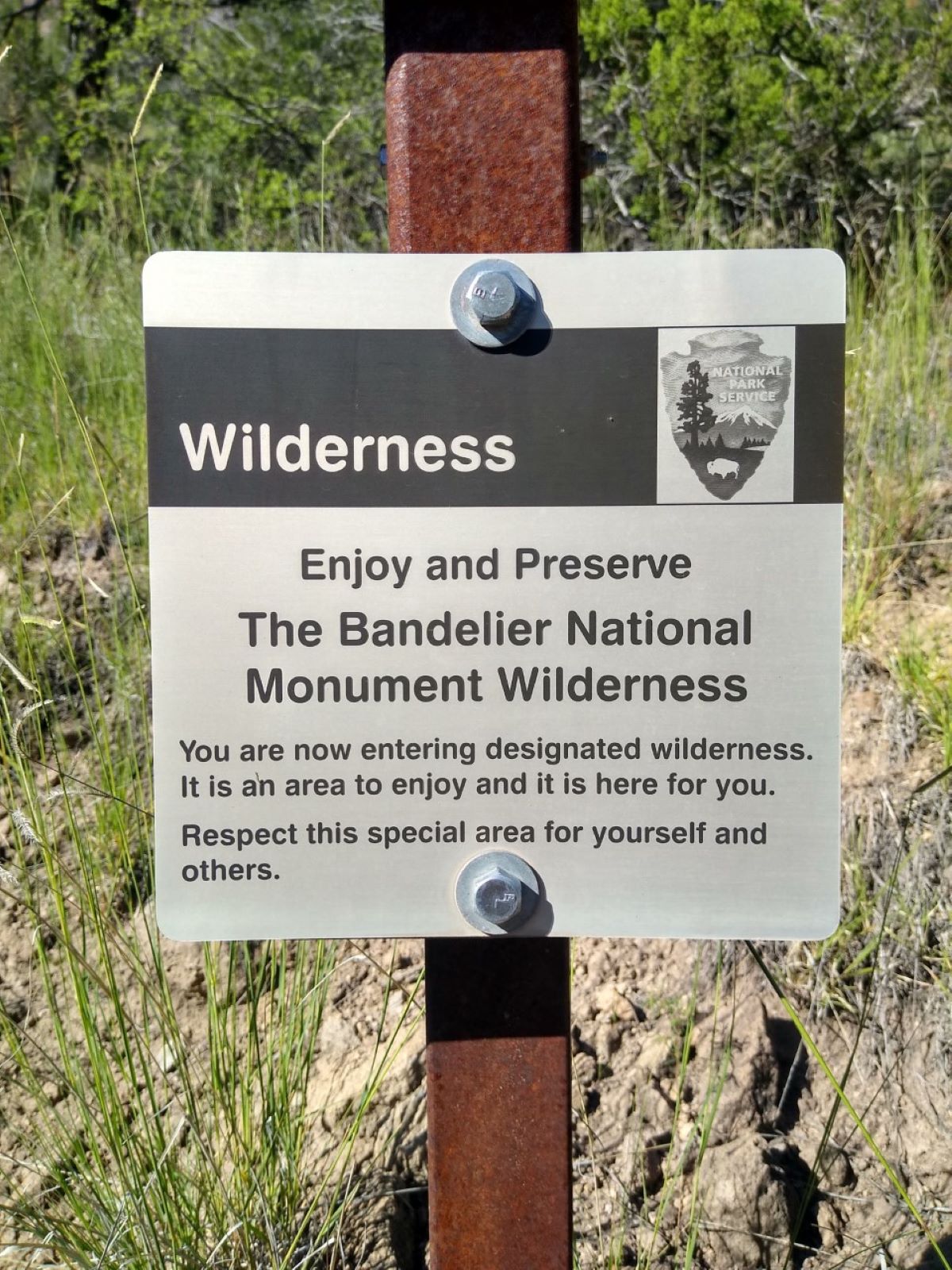
<p>This is a boundary of the Bandelier Wilderness. This area was designated as a wilderness in 1976 under the Wilderness Act of 1964. Wilderness areas are given the highest form of protection the government can give to a public land to protect them for future generations.</p>
Local operatorsoffering guided trips. You book directly with them — Roamze doesn’t take a cut.
Turquoise Trail Campground
Hiking business nearby (~47 mi away) — hasn't claimed their Roamze page yet