Blue Canyon Widetrack Trail
- 2.7 mi
- distance
- 107 ft
- climb
- 5,237 ft
- high point
- Lollipop
- route
- Mar–May, Sep–Oct
- best months
Blue Canyon Widetrack Trail is a short, easy loop on Bureau of Land Management land in the Socorro Field Office of New Mexico, about 2.7 miles long with a total elevation gain of 107 feet. The trail runs between a low point of about 4,955 feet and a high of about 5,237 feet. Spring and fall are the most comfortable times to go. Typical averages from a nearby weather station in Socorro show April highs around 75°F and October highs around 73°F, while July and August average highs near 91°F with more wet days. Several other trails sit close by. Grant Street and Blue Canyon Trail are each about 1.3 miles away, and Black Canyon Trail is about 2.4 miles off. Climbers can find the Spook Outlying Boulders about 2.6 miles away.
Best time to go · Mar–May, Sep–Oct
Best time to visit Blue Canyon Widetrack Trail
Best months: March–May and September–October. Best months have typical highs of 55–85 °F, lows of 30 °F or warmer (32 °F where the station doesn't record snow), at most one snowy day and no more than 12 wet days.
Jan
52° / 23°
3 wet
Feb
59° / 28°
3 wet
Mar
67° / 34°
3 wet
Apr
75° / 41°
2 wet
May
83° / 49°
3 wet
Jun
91° / 57°
4 wet
Jul
91° / 63°
8 wet
Aug
89° / 61°
9 wet
Sep
84° / 53°
6 wet
Oct
73° / 41°
4 wet
Nov
61° / 31°
4 wet
Dec
50° / 24°
4 wet
Typical high / low (°F) and days with rain or snow, 1991–2020. Measured at Socorro, NM, 4.8 mi away at 4,593 ft. The station sits about 600 ft lower than this place, so expect it a little cooler here. This station doesn't record snowfall. Source: NOAA NCEI U.S. Climate Normals 1991–2020.
Keep exploring — more trails worth the drive
 Photo: Matt Lavin, CC BY-SA 2.0 (via Flickr)
Dead Horse Trail # 12
~18 min drive
Quick, easy sub-mile trail suitable for families and beginners.
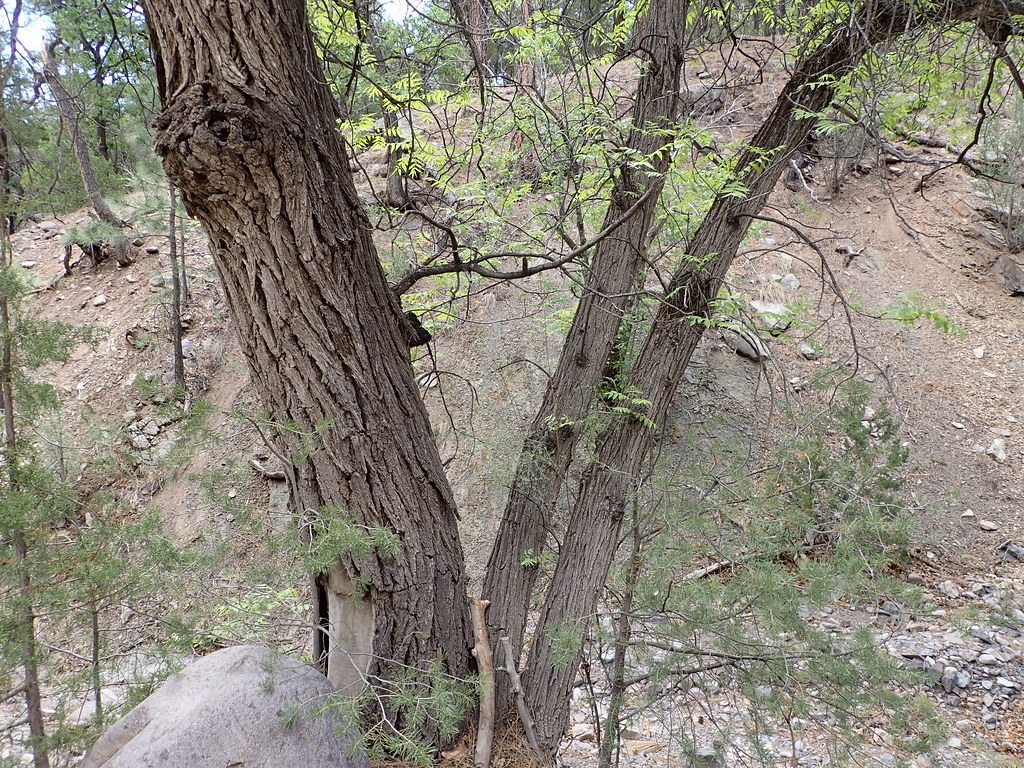 Photo: Matt Lavin, CC BY-SA 2.0 (via Flickr)
Mesa
~20 min drive
Mesa is an 11.26-mile out-and-back trail in New Mexico with 3,020 feet of elevation gain.
 Photo: Matt Lavin, CC BY-SA 2.0 (via Flickr)
Ryan Hill Trail (17)
~20 min drive
9.18-mile out-and-back trail in New Mexico with 3,376 ft elevation gain.
HIKE
M Mountain Run
~6 min drive
Steep 1.69-mile climb with 2,240 ft gain near M Mountain.
 Photo: Matt Lavin, CC BY-SA 2.0 (via Flickr)
Copper Canyon Trail
~20 min drive
Copper Canyon Trail is a 0.41-mile out-and-back hike in New Mexico with 33 feet of elevation gain.
Photo: Matt Lavin, CC BY-SA 2.0 (via Flickr)South Canyon
~20 min drive
8.11-mile out-and-back trail in South Canyon, New Mexico.
HIKE
Six Mile Trail
~11 min drive
3.48-mile out-and-back trail in New Mexico with 7,904 ft gain.
HIKE
Blue Canyon Loop Trail
~1 min drive
2.58-mile out-and-back hike in New Mexico with 588 ft elevation gain
HIKE
Socorro Single Track
~11 min drive
Moderate 11.66-mile singletrack loop near Socorro with desert and woodland views.
HIKE
Grand Enchantment Trail
~11 min drive
6.35-mile lollipop trail in New Mexico with 6,037 ft gain

Map and trail data © OpenStreetMap contributors
