Azurite
Campground
Campground · < 0.1 mi from the trail
 Photo: sprague, CC BY 2.0 (via Flickr)
Azurite Trail is an easy out-and-back hike in western New Mexico, about 4.5 miles from the town of Virginia City. The route is short, covering roughly 1.6 miles round trip, and it rises about 342 feet from the trailhead to a high point of 10,728 feet. That makes it a quick, low-effort outing that pairs well with other trails in the area. The trail starts at an elevation of about 10,694 feet and reaches a peak of about 10,728 feet, with the steepest section coming about a tenth of a mile from the start, where the grade reaches 15 percent. The total climb is about 778 feet for the round trip. The whole hike takes about an hour, so it works as a short stop between longer walks or a warm-up before heading out on the network of trails that surrounds it. Several other routes lie within a short distance. Cooper Park to Baldy Town Trail is about 0.2 miles away, and Copper Park - French Henry Trail and Copper Park - Greenwood Canyon Trail are both within about half a mile. For something different, Shuree Lakes Fishing is about 10 miles away.
Azurite
Campground
Places © OpenStreetMap contributors, Places © Overture Maps Foundation
More in Arroyo SecoNot on Roamze yet. Their page has how to reach them.
Cooper Park to Baldy Town TrailHikingPhoto: sprague, CC BY 2.0 (via Flickr)0.2 miFrench Henry to Pueblano Ruins TrailHikingPhoto: sprague, CC BY 2.0 (via Flickr)0.7 miSource: Roamze catalog (indexable pages within 10 miles, PostGIS distance)
Cooper Park to Baldy Town TrailHiking · Next doorPhoto: sprague, CC BY 2.0 (via Flickr)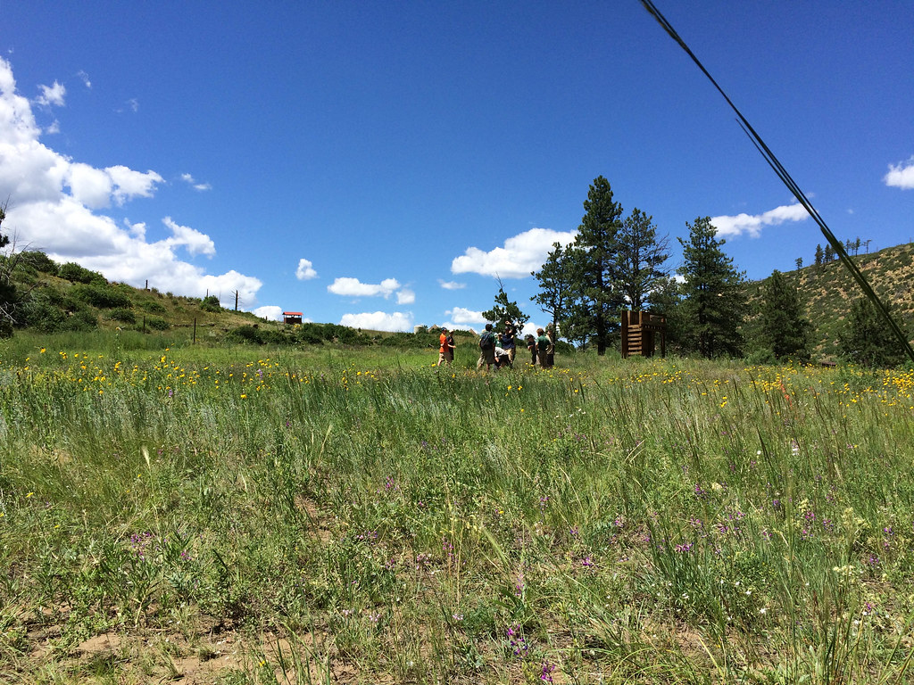 Rich Cabins to Dan Beard TrailHiking · ~10 min drivePhoto: sprague, CC BY 2.0 (via Flickr)Bent to Dan Beard TrailHiking · ~11 min drivePhoto: sprague, CC BY 2.0 (via Flickr)
 North Lake TrailHiking · ~12 min drivePhoto: Motapics, CC BY 2.0 (via Flickr)
 Lower Tolby TrailHiking · ~12 min drivePhoto: Alan Gross, CC BY-SA 3.0 (via Wikimedia Commons)
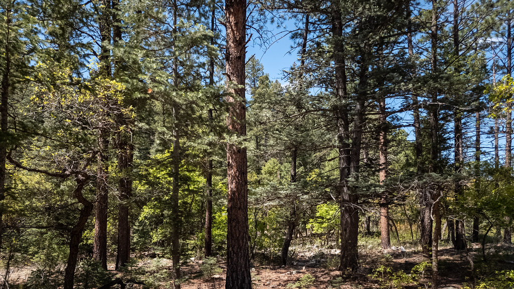 Maverick Canyon TrailHiking · ~12 min drivePhoto: Alexander Hatley, CC BY 2.0 (via Flickr)
Map and trail data © OpenStreetMap contributors

