Mogollon Creek
- 27.1 mi
- distance
- 7,330 ft
- high point
- Jan–May, Sep–Nov
- best months
Is Mogollon Creek open right now?
Closure in the area
There's a closure order in Gila National Forest. It doesn't name Mogollon Creek, so check the source for the area it covers (2 listed).
Beaverhead Water Non-Potable
Agency closure covering Gila National Forest · USFS · Gila National Forest
Catwalk Recreation Area Temporary Closure (Flooding)
Agency closure covering Glenwood Ranger District · Order 03-06-04-26-006 · USFS · Glenwood Ranger District
Harmful algae detected in Lake Roberts
Agency alert covering Gila National Forest · USFS · Gila National Forest
Potentially Dangerous Animal Encounters
Agency alert covering Gila National Forest · USFS · Gila National Forest
As of · Source: USFS · Gila National Forest. Agencies don't list every closure — check before you go.
Mogollon Creek is a 27-mile paddling stretch near Cliff, New Mexico, running through the Gila Wilderness within the Glenwood Ranger District of the Gila National Forest. The Forest Service manages the land along it. The creek is ephemeral and may run dry in some seasons, so confirm the flow before heading out. USGS models an average flow of about 34 cubic feet per second and a gradient of about 98 feet per mile. Spring and fall are the most comfortable times to paddle. Typical averages from a nearby weather station at Ft Bayard show May highs around 80°F and October highs around 74°F, with July and August bringing the most wet days. Several trails sit close by. West Fork Trail #189 is about 2.7 miles away, and Mogollon Creek Trail #153 and Gobbler Canyon are each about 4.1 miles off. Lookout Canyon Trail is about 4.5 miles away.
- West Fork Trail #189Hiking2.7 mi
- GOBBLER CANYONHiking4.1 mi
- Mogollon Creek Trail #153Hiking4.1 mi
- Lookout Canyon TrailHiking4.5 mi
- Lookout Canyon Trail #221Hiking4.5 mi
- West Fork TrailHiking4.7 mi
- KempHiking5.1 mi
- SycamoreHiking5.2 mi
Source: Roamze catalog (indexable pages within 10 miles, PostGIS distance)
 West Fork Gila RiverCanoeing · ~25 min drivePhoto: Chris M Morris, CC BY 2.0 (via Wikimedia Commons)
- Lake Roberts Boat LaunchBoat launch · ~45 min drive
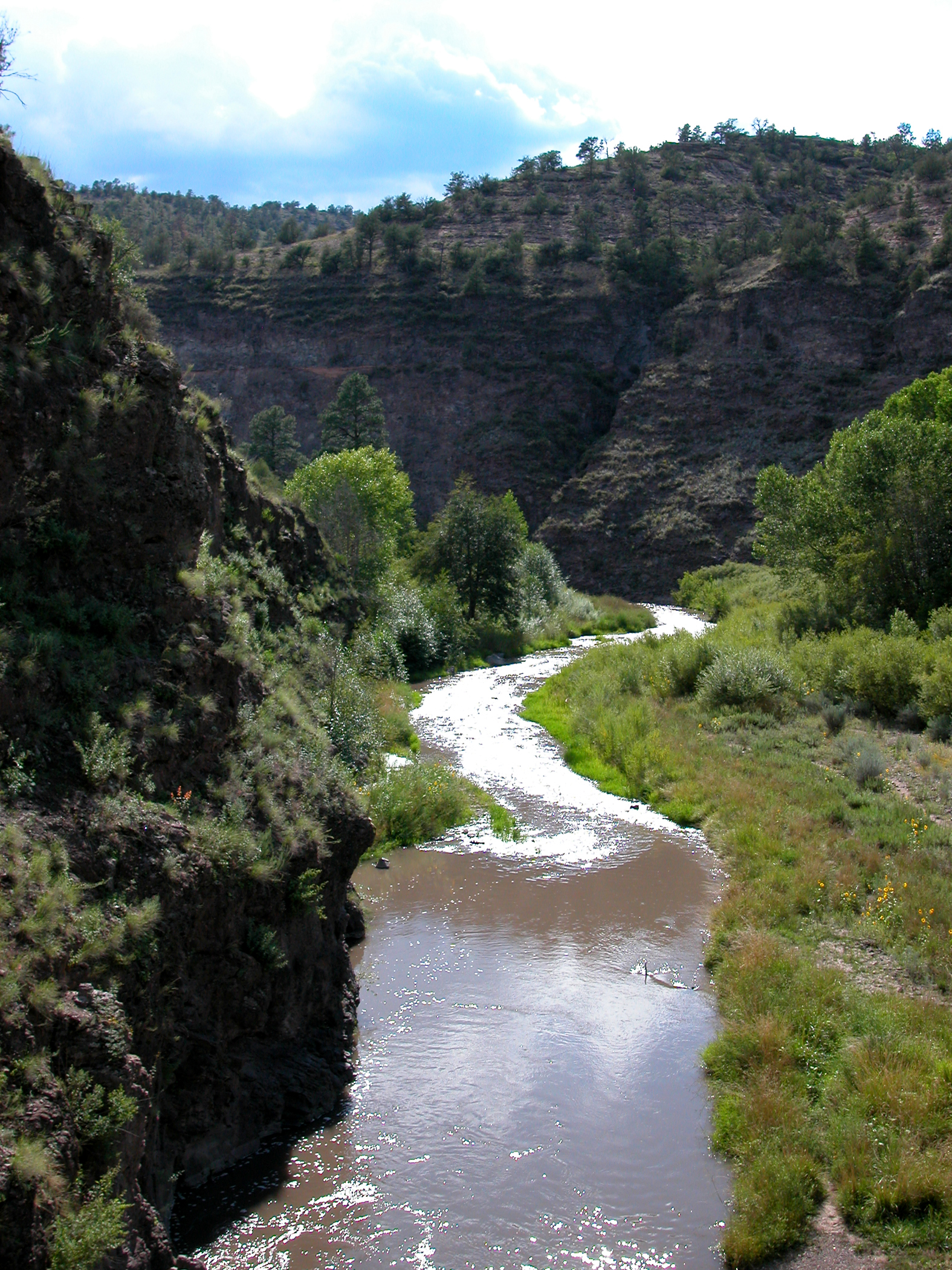 Middle Fork Gila RiverCanoeing · ~31 min drivePhoto: Joe Burgess, Public domain (via Wikimedia Commons)
- Gila River Boat Put InBoat launch · ~1h 16m drive
 Mimbres RiverCanoeing · ~1h 17m drivePhoto: Rafael Moreno (Flikr user moreno415), CC BY 2.0 (via Wikimedia Commons)
- Boat Ramp at Snow Lake Boat LaunchBoat launch · ~33 min drive
- East Fork Gila RiverCanoeing · ~43 min drive
- Beaver CreekCanoeing · ~53 min drive
- San Francisco RiverCanoeing · ~1h 6m drive
- Blue RiverCanoeing · ~1h 10m drive
Best time to visit Mogollon Creek
Best months: January–May and September–November. Best months have typical highs of 55–85 °F, lows of 30 °F or warmer (32 °F where the station doesn't record snow), at most one snowy day and no more than 12 wet days.
Jan
56° / 32°
6 wet
Feb
59° / 34°
6 wet
Mar
66° / 37°
5 wet
Apr
73° / 43°
3 wet
May
80° / 50°
3 wet
Jun
90° / 60°
5 wet
Jul
88° / 64°
13 wet
Aug
87° / 63°
13 wet
Sep
83° / 58°
8 wet
Oct
74° / 47°
5 wet
Nov
63° / 37°
4 wet
Dec
55° / 30°
6 wet
Typical high / low (°F) and days with rain or snow, 1991–2020. Measured at Ft Bayard, NM, 35.2 mi away at 6,099 ft. The station sits about 1,200 ft lower than this place, so expect it a little cooler here. This station doesn't record snowfall. Source: NOAA NCEI U.S. Climate Normals 1991–2020.

