Yellow / White Trail
- 0.7 mi
- round trip
- 31 ft
- climb
- 671 ft
- high point
- Out and back
- route
- Apr–Jun, Aug–Nov
- best months
The Yellow / White Trail is a short, easy hike in Franklin Parker Preserve in New Jersey, managed by a non-governmental organization. The route is an out-and-back that covers about 1.4 miles, with a total elevation gain of 31 feet. The trail starts at an elevation of about 81 feet and reaches a high point of 671 feet before returning to the start. The climb is gentle, with only about 13 feet of gain in one direction. The trail is not open to horses or bikes, so plan on walking it on foot. For comfortable weather, aim for late spring or early fall. Typical averages from a nearby weather station show May highs around 74°F and September highs around 78°F, while July averages about 87°F and January highs sit near 42°F. The West Branch Wading River, a canoeing route, lies about 0.6 miles away. The Red / Green Trail is about 2 miles off, and the Sandy Ridge - Tulpehocken Trail is about 3.2 miles away. The Batona Trail is roughly 6 miles from the trail.
Local outfitters
- Bartram's Garden37 mi away
Not on Roamze yet. Their page has how to reach them.
- West Branch Wading RiverCanoeing0.6 mi
 Red / Green TrailHikingPhoto: 123 Chroma Pixels, CC BY-SA 2.0 (via Flickr)2 mi
 Sandy Ridge - Tulpehocken TrailHikingPhoto: cm195902, CC BY 2.0 (via Flickr)3.2 mi
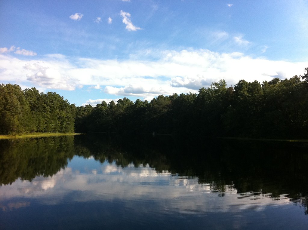 Batona Trail (Former Route)HikingPhoto: aleahey, CC BY-SA 2.0 (via Flickr)5.9 mi
- Batona TrailHiking6 mi
- Glassworks Trail (Green)Hiking6.3 mi
- Lebanon Trail (Orange)HikingPhoto: aleahey, CC BY-SA 2.0 (via Flickr)6.5 mi
- Batsto RiverCanoeing7 mi
Source: Roamze catalog (indexable pages within 10 miles, PostGIS distance)
 Green / White TrailHiking · ~2 min drivePhoto: 123 Chroma Pixels, CC BY-SA 2.0 (via Flickr)
- Sandy Ridge - Tulpehocken TrailHiking · ~6 min drivePhoto: cm195902, CC BY 2.0 (via Flickr)
- Mount Misery Trail (White)Hiking · ~12 min drivePhoto: aleahey, CC BY-SA 2.0 (via Flickr)
- Yellow TrailHiking · ~12 min drive
- Red / Green TrailHiking · ~3 min drivePhoto: 123 Chroma Pixels, CC BY-SA 2.0 (via Flickr)
- Glassworks Trail (Green)Hiking · ~11 min drive
- White TrailHiking · ~12 min drive
 Batona Trail (Former Route)Hiking · ~6 min drivePhoto: Seth Tisue, CC BY-SA 2.0 (via Flickr)
- Red LoopHiking · ~13 min drive
- Batona Trail (Former Route)Hiking · ~10 min drivePhoto: aleahey, CC BY-SA 2.0 (via Flickr)
Best time to visit Yellow / White Trail
Best months: April–June and August–November. Best months have typical highs of 55–85 °F, lows of 30 °F or warmer (32 °F where the station doesn't record snow), at most one snowy day and no more than 12 wet days.
Jan
42° / 23°
8 wet · 2 snow
Feb
45° / 24°
8 wet · 2 snow
Mar
53° / 31°
8 wet · 1 snow
Apr
65° / 40°
8 wet
May
74° / 50°
9 wet
Jun
82° / 59°
8 wet
Jul
87° / 64°
9 wet
Aug
85° / 62°
8 wet
Sep
78° / 55°
7 wet
Oct
67° / 44°
8 wet
Nov
56° / 34°
8 wet
Dec
47° / 28°
9 wet · 1 snow
Typical high / low (°F) and days with rain or snow, 1991–2020. Measured at Indian Mills 2 W, NJ, 12.8 mi away at 100 ft. The station sits about 600 ft lower than this place, so expect it a little cooler here. Source: NOAA NCEI U.S. Climate Normals 1991–2020.
