Yellow Trail
- 32.4 mi
- one way
- 2,775 ft
- climb
- 1,261 ft
- high point
- Point to point
- route
- Apr–Jun, Aug–Nov
- best months
The Yellow Trail is a long, rugged hike in New Jersey's Michael Huber Prairie Warbler Preserve, a non-governmental organization-managed preserve. The trail is a point-to-point route of about 32.4 miles, with a one-way elevation gain of 2,775 feet from its low point of 41 feet to a high of 1,261 feet. The climb is steep and demanding. The trail starts at an elevation of about 100 feet and gains over 2,700 feet before the end, with a total descent of about 3,300 feet. It's rated expert, and the trip is estimated to take about 12 hours. Late spring and early fall are the most comfortable times to go. Typical averages from a nearby weather station run to highs of about 74°F in May and 78°F in September, while July highs reach about 87°F and winter highs hover in the low 40s. That station sits about 1,200 feet below the trail, so expect cooler temperatures on the higher ground. Several other trails lie close by. The White / Blue Trail is about 0.4 miles away, the Blue Trail is about 0.5 miles away, and the Green Loop is about a mile away. For paddlers, Greenwood Branch is about 5 miles off.
Local outfitters
- Bartram's Garden33 mi away
Not on Roamze yet. Their page has how to reach them.
- White / Blue TrailHiking0.4 mi
- White TrailHiking0.5 mi
- Blue TrailHiking0.5 mi
- Green LoopHiking1 mi
- Greenwood BranchCanoeing5.2 mi
- South Branch Rancocas CreekCanoeing5.5 mi
- Batsto RiverCanoeing6.9 mi
- West Branch Wading RiverCanoeing7.4 mi
Source: Roamze catalog (indexable pages within 10 miles, PostGIS distance)
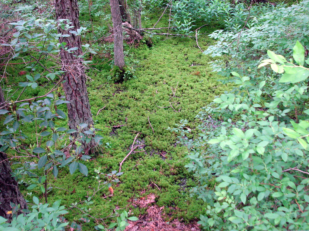 Sand RoadsHiking · ~2 min drivePhoto: bobistraveling, CC BY 2.0 (via Flickr)
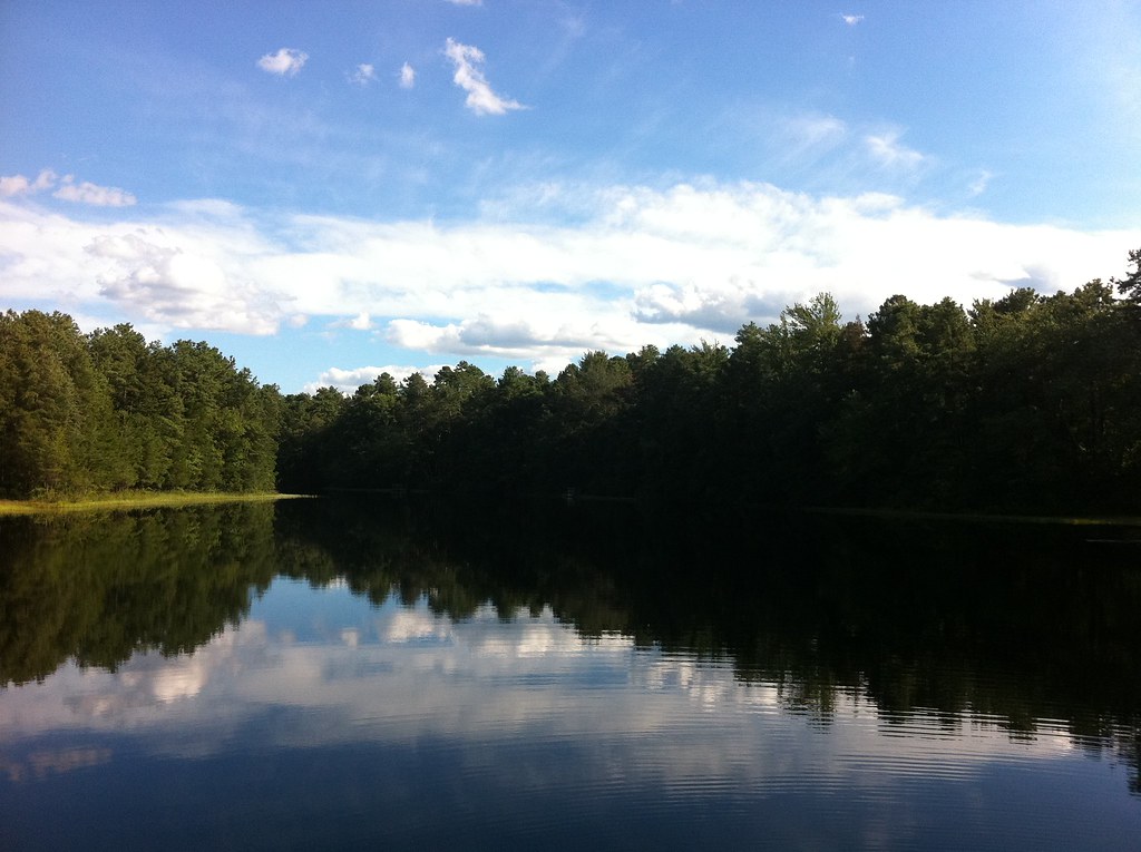 Mount Misery Trail (White)Hiking · ~6 min drivePhoto: aleahey, CC BY-SA 2.0 (via Flickr)
 Sandy Ridge - Tulpehocken TrailHiking · ~8 min drivePhoto: cm195902, CC BY 2.0 (via Flickr)
- White TrailHiking · Next door
- Cranberry Dot Trail (RedHiking · ~4 min drivePhoto: bobistraveling, CC BY 2.0 (via Flickr)
- Red LoopHiking · ~2 min drive
- Red TrailHiking · ~31 min drive
- Batona Trail (Former Route)Hiking · ~6 min drivePhoto: aleahey, CC BY-SA 2.0 (via Flickr)
- Glassworks Trail (Green)Hiking · ~8 min drive
 Batona Trail (Former Route)Hiking · ~6 min drivePhoto: Seth Tisue, CC BY-SA 2.0 (via Flickr)
Best time to visit Yellow Trail
Best months: April–June and August–November. Best months have typical highs of 55–85 °F, lows of 30 °F or warmer (32 °F where the station doesn't record snow), at most one snowy day and no more than 12 wet days.
Jan
42° / 23°
8 wet · 2 snow
Feb
45° / 24°
8 wet · 2 snow
Mar
53° / 31°
8 wet · 1 snow
Apr
65° / 40°
8 wet
May
74° / 50°
9 wet
Jun
82° / 59°
8 wet
Jul
87° / 64°
9 wet
Aug
85° / 62°
8 wet
Sep
78° / 55°
7 wet
Oct
67° / 44°
8 wet
Nov
56° / 34°
8 wet
Dec
47° / 28°
9 wet · 1 snow
Typical high / low (°F) and days with rain or snow, 1991–2020. Measured at Indian Mills 2 W, NJ, 10.9 mi away at 100 ft. The station sits about 1,200 ft lower than this place, so expect it a little cooler here. Source: NOAA NCEI U.S. Climate Normals 1991–2020.
