Red / Green Trail
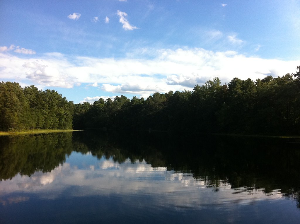
 Photo: 123 Chroma Pixels, CC BY-SA 2.0 (via Flickr)
- 1.5 mi
- round trip
- 134 ft
- climb
- 763 ft
- high point
- Out and back
- route
- Apr–Jun, Aug–Nov
- best months
Red / Green Trail is an easy out-and-back hike in Franklin Parker Preserve in New Jersey, managed by a non-governmental organization. The trail is about 1.5 miles long, and the round trip climbs roughly 134 feet from a starting elevation of about 87 feet to a high point of about 763 feet. The route is short and gentle, with a low elevation gain of about 14 feet one way. It works well as a quick outing, and the trip takes about an hour. Horses are not allowed on the trail. For comfortable weather, aim for late spring or early fall. Typical averages from a nearby weather station show May highs around 74°F and September highs around 78°F, while July averages about 87°F and January highs sit near 42°F. That station sits about 660 feet lower than the trail's high point, so temperatures on the higher ground run cooler. Nearby, the Sandy Ridge - Tulpehocken Trail and the Yellow / White Trail are both within about 2 miles. Paddlers can head to the West Branch Wading River, about 2.5 miles away, and the Batona Trail is about 4.4 miles off.
Local outfitters
- Bartram's Garden36 mi away
Not on Roamze yet. Their page has how to reach them.
 Sandy Ridge - Tulpehocken TrailHikingPhoto: cm195902, CC BY 2.0 (via Flickr)1.9 mi
- Yellow / White TrailHiking2 mi
- West Branch Wading RiverCanoeing2.5 mi
 Batona Trail (Former Route)HikingPhoto: aleahey, CC BY-SA 2.0 (via Flickr)4.2 mi
- Batona TrailHiking4.4 mi
- Glassworks Trail (Green)Hiking4.8 mi
- Batsto RiverCanoeing6.4 mi
- Greenwood BranchCanoeing9.5 mi
Source: Roamze catalog (indexable pages within 10 miles, PostGIS distance)
 Green / White TrailHiking · ~2 min drivePhoto: 123 Chroma Pixels, CC BY-SA 2.0 (via Flickr)
- Sandy Ridge - Tulpehocken TrailHiking · ~3 min drivePhoto: cm195902, CC BY 2.0 (via Flickr)
- Mount Misery Trail (White)Hiking · ~9 min drivePhoto: aleahey, CC BY-SA 2.0 (via Flickr)
- Yellow TrailHiking · ~9 min drive
 Batona Trail (Former Route)Hiking · ~3 min drivePhoto: Seth Tisue, CC BY-SA 2.0 (via Flickr)
- Glassworks Trail (Green)Hiking · ~8 min drive
- White TrailHiking · ~9 min drive
- Batona Trail (Former Route)Hiking · ~7 min drivePhoto: aleahey, CC BY-SA 2.0 (via Flickr)
- Red LoopHiking · ~10 min drive
- Lebanon Trail (Orange)Hiking · ~8 min drivePhoto: aleahey, CC BY-SA 2.0 (via Flickr)
Best time to visit Red / Green Trail
Best months: April–June and August–November. Best months have typical highs of 55–85 °F, lows of 30 °F or warmer (32 °F where the station doesn't record snow), at most one snowy day and no more than 12 wet days.
Jan
42° / 23°
8 wet · 2 snow
Feb
45° / 24°
8 wet · 2 snow
Mar
53° / 31°
8 wet · 1 snow
Apr
65° / 40°
8 wet
May
74° / 50°
9 wet
Jun
82° / 59°
8 wet
Jul
87° / 64°
9 wet
Aug
85° / 62°
8 wet
Sep
78° / 55°
7 wet
Oct
67° / 44°
8 wet
Nov
56° / 34°
8 wet
Dec
47° / 28°
9 wet · 1 snow
Typical high / low (°F) and days with rain or snow, 1991–2020. Measured at Indian Mills 2 W, NJ, 12 mi away at 100 ft. The station sits about 700 ft lower than this place, so expect it a little cooler here. Source: NOAA NCEI U.S. Climate Normals 1991–2020.
