Liberty Harbor RV
Campground
Campground · 16 mi from the trail
 Photo: Sandy Wolkenberg, CC BY 4.0 (via Wikimedia Commons)
Yellow Trail is a short, moderate hike of about 0.45 miles within Tenefly Nature Center in New Jersey, on city-managed land. The route rises about 11 feet from a low point of 393 feet to a high of 420 feet, with the steepest stretch at about 0.16 miles in, where the grade reaches 6 percent. The trail is a point-to-point route rather than a loop, and it is best paired with other paths in the area. Main Trail and White Trail both start within about 0.1 mile, and Bischoff Trail (Red) is about 0.2 mile away. For comfortable weather, aim for late spring or early fall. Typical averages from a nearby weather station in Dobbs Ferry, New York, show May highs around 73°F and September highs around 77°F, with July peaking near 86°F. Inwood Hill Park and Fort Tryon Park, both climbing areas across the river in New York, are within about 4 miles. Orange Hill Bouldering is about 5.6 miles away.
Liberty Harbor RV
Campground
 If it rainsJim.henderson, CC0 · Wikimedia Commons
Places © OpenStreetMap contributors · Photos: Jim.henderson, CC0 (commons)
More in Mount KiscoNot on Roamze yet. Their page has how to reach them.
Main TrailHikingPhoto: Sandy Wolkenberg, CC BY 4.0 (via Wikimedia Commons)0.1 mi White TrailHikingPhoto: Sandy Wolkenberg, CC BY 4.0 (via Wikimedia Commons)0.1 miBischoff Trail (RedHikingPhoto: Sandy Wolkenberg, CC BY 4.0 (via Wikimedia Commons)0.2 mi
Source: Roamze catalog (indexable pages within 10 miles, PostGIS distance)
Main TrailHiking · Next doorPhoto: Sandy Wolkenberg, CC BY 4.0 (via Wikimedia Commons) Huyler’s Landing TrailHiking · ~1 min drivePhoto: New York Public Library, No restrictions (via Wikimedia Commons)
 Shore TrailHiking · ~7 min drivePhoto: PunkToad, CC BY 2.0 (via Flickr)White TrailHiking · Next doorPhoto: Sandy Wolkenberg, CC BY 4.0 (via Wikimedia Commons)
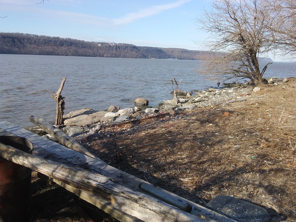 Shore Trail (white)Hiking · ~7 min drivePhoto: Ira Gersh, Public Domain Mark (via Flickr)Bischoff Trail (RedHiking · Next doorPhoto: Sandy Wolkenberg, CC BY 4.0 (via Wikimedia Commons)BischoffHiking · Next doorPhoto: Sandy Wolkenberg, CC BY 4.0 (via Wikimedia Commons)
Best months: April–June and August–October. Best months have typical highs of 55–85 °F, lows of 30 °F or warmer (32 °F where the station doesn't record snow), at most one snowy day and no more than 12 wet days.
Jan
40° / 23°
11 wet
Feb
43° / 25°
9 wet
Mar
51° / 31°
11 wet
Apr
63° / 40°
12 wet
May
73° / 50°
12 wet
Jun
81° / 59°
11 wet
Jul
86° / 64°
10 wet
Aug
84° / 63°
10 wet
Sep
77° / 56°
9 wet
Oct
65° / 45°
9 wet
Nov
54° / 36°
10 wet
Dec
44° / 29°
11 wet
Typical high / low (°F) and days with rain or snow, 1991–2020. Measured at Dobbs Ferry-Ardsley, NY, 8.1 mi away at 200 ft. This station doesn't record snowfall. Source: NOAA NCEI U.S. Climate Normals 1991–2020.
Map and trail data © OpenStreetMap contributors
