Yellow Trail
- 0.5 mi
- one way
- 64 ft
- climb
- 286 ft
- high point
- Point to point
- route
- Apr–Jun, Aug–Nov
- best months
Clear at last check
Weather is good · OpenWeather · checked 12 h ago
Yellow Trail is a 0.5-mile moderate hike in Allison Park, a city-managed park in New Jersey. The trail rises from a low point of about 224 feet to a high of 286 feet, with a total gain of 64 feet, and the steepest part comes around the 0.23-mile mark at a 7% grade. For comfortable weather, aim for late spring or early fall. Typical averages from the nearby Teterboro airport weather station put May highs around 73°F and September highs around 78°F. That station sits about 280 feet lower than the trail, so temperatures on the trail may run a little cooler. Bikes and horses are not allowed on this route. The Orange Trail and Red Loop both start within about 0.2 miles, and the White Trail is about 0.4 miles away. Across the river in New York, Fort Tryon Park is about 1.9 miles off.
Local outfitters
- Pier 13 Hoboken9 mi away
Not on Roamze yet. Their page has how to reach them.
- Orange TrailHiking0.2 mi
- Red LoopHiking0.2 mi
- White TrailHiking0.4 mi
- Fort Tryon ParkRock climbing1.9 mi
- Inwood Hill ParkRock climbing2.1 mi
- St. Nicks WallRock climbing4.4 mi
- Bronx River BluewayCanoeing5 mi
- Saw Mill Creek Canoe TrailCanoeing6.9 mi
Source: Roamze catalog (indexable pages within 10 miles, PostGIS distance)
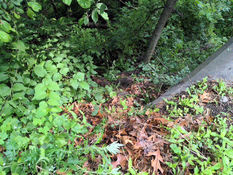 Dyckman Hill TrailHiking · ~1 min drivePhoto: Ira Gersh, Public Domain Mark (via Flickr)
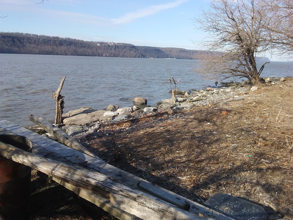 Shore Trail (white)Hiking · ~2 min drivePhoto: Ira Gersh, Public Domain Mark (via Flickr)
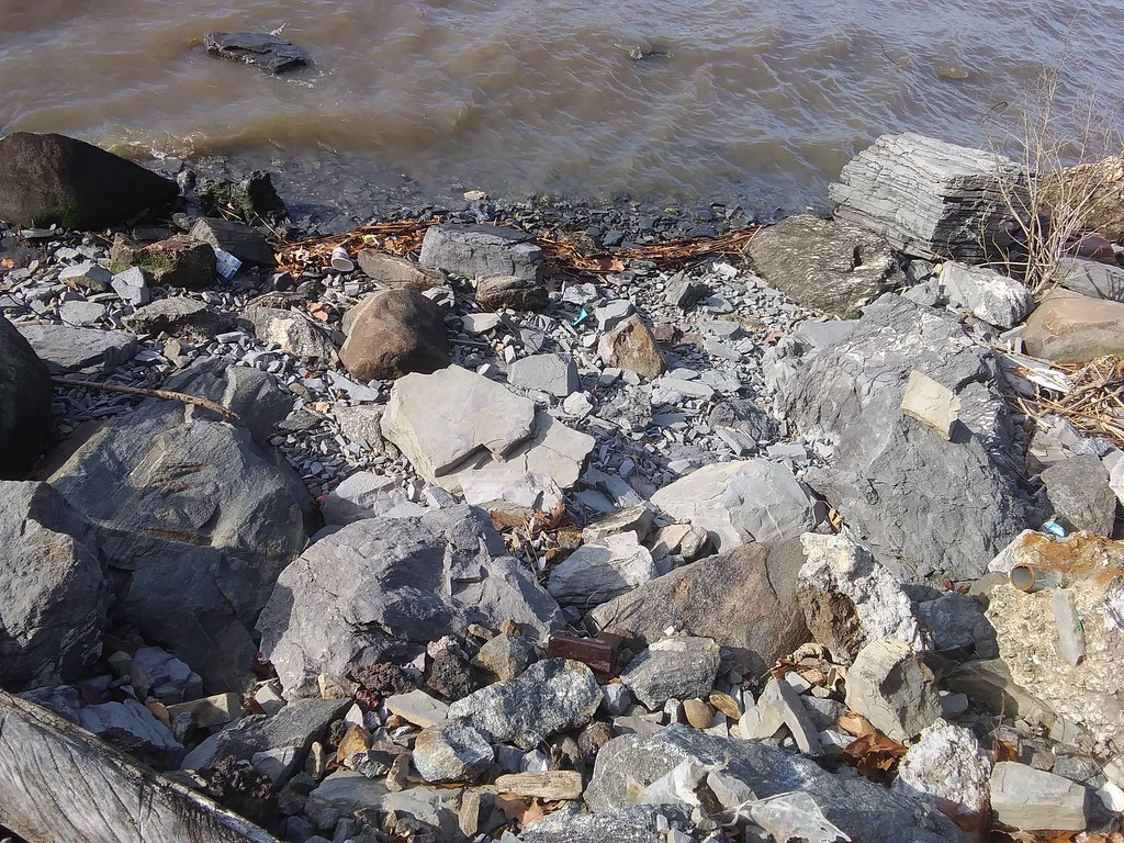 Long PathHiking · ~2 min drivePhoto: Ira Gersh, Public Domain Mark (via Flickr)
 Carpenter’s Trail (Blue)Hiking · ~2 min drivePhoto: Ira Gersh, Public Domain Mark (via Flickr)
 ShoreHiking · ~3 min drivePhoto: Ira Gersh, Public Domain Mark (via Flickr)
- CarpentersHiking · ~2 min drivePhoto: Ira Gersh, Public Domain Mark (via Flickr)
 Yellow TrailHiking · ~6 min drivePhoto: Sandy Wolkenberg, CC BY 4.0 (via Wikimedia Commons)
 Hudson Valley Greenway Trail (Inwood to the Bronx)Hiking · ~3 min drivePhoto: Ira Gersh, Public Domain Mark (via Flickr)
 Huyler’s Landing TrailHiking · ~6 min drivePhoto: New York Public Library, No restrictions (via Wikimedia Commons)
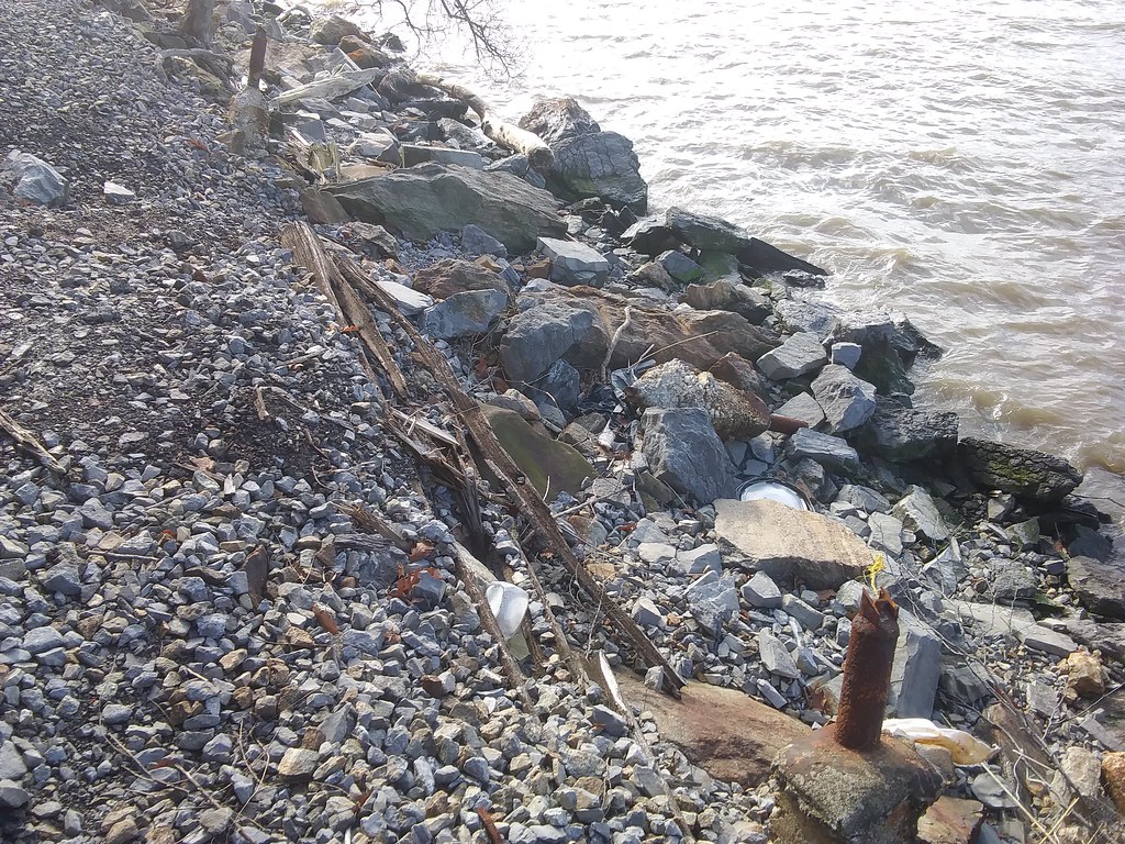 Long Path - Section 1Hiking · ~4 min drivePhoto: Ira Gersh, Public Domain Mark (via Flickr)
Best time to visit Yellow Trail
Best months: April–June and August–November. Best months have typical highs of 55–85 °F, lows of 30 °F or warmer (32 °F where the station doesn't record snow), at most one snowy day and no more than 12 wet days.
Jan
40° / 26°
11 wet
Feb
43° / 27°
10 wet
Mar
51° / 34°
11 wet
Apr
62° / 44°
12 wet
May
73° / 53°
12 wet
Jun
82° / 63°
11 wet
Jul
87° / 69°
10 wet
Aug
85° / 67°
10 wet
Sep
78° / 60°
9 wet
Oct
67° / 48°
10 wet
Nov
56° / 38°
10 wet
Dec
45° / 31°
11 wet
Typical high / low (°F) and days with rain or snow, 1991–2020. Measured at Teterboro Ap, NJ, 5.5 mi away at 9 ft. This station doesn't record snowfall. Source: NOAA NCEI U.S. Climate Normals 1991–2020.
Map and trail data © OpenStreetMap contributors
