Liberty Harbor RV
Campground
Campground · 15 mi from the trail
 Photo: Sandy Wolkenberg, CC BY 4.0 (via Wikimedia Commons)
White Trail is an easy, short loop of about 0.4 miles within the Tenefly Nature Center on city land in New Jersey. It's a low-effort outing, with a total climb of about 26 feet and a drop of about 39 feet over the course of the loop. The route peaks at about 425 feet, with the steepest stretch, a 9% grade, roughly a third of the way in. For the most comfortable weather, late spring and early fall are the sweet spots. Typical averages from a nearby weather station in Dobbs Ferry, New York, run to highs around 73°F in May and 77°F in September, while July highs average about 86°F. The trail sits in a cluster of short routes. Yellow Trail and Bischoff Trail (Red are each about 0.1 miles away, and Main Trail is also close by. A little farther afield, Inwood Hill Park offers climbing about 3.5 miles away.
Liberty Harbor RV
Campground
 If it rainsJim.henderson, CC0 · Wikimedia Commons
Places © OpenStreetMap contributors · Photos: Jim.henderson, CC0 (commons)
More in Mount KiscoNot on Roamze yet. Their page has how to reach them.
 Yellow TrailHikingPhoto: Sandy Wolkenberg, CC BY 4.0 (via Wikimedia Commons)0.1 miBischoff Trail (RedHikingPhoto: Sandy Wolkenberg, CC BY 4.0 (via Wikimedia Commons)0.1 miMain TrailHikingPhoto: Sandy Wolkenberg, CC BY 4.0 (via Wikimedia Commons)0.1 mi
Source: Roamze catalog (indexable pages within 10 miles, PostGIS distance)
Yellow TrailHiking · Next doorPhoto: Sandy Wolkenberg, CC BY 4.0 (via Wikimedia Commons)Bischoff Trail (RedHiking · Next doorPhoto: Sandy Wolkenberg, CC BY 4.0 (via Wikimedia Commons) Shore TrailHiking · ~7 min drivePhoto: PunkToad, CC BY 2.0 (via Flickr)
 Huyler’s Landing TrailHiking · ~1 min drivePhoto: New York Public Library, No restrictions (via Wikimedia Commons)Main TrailHiking · Next doorPhoto: Sandy Wolkenberg, CC BY 4.0 (via Wikimedia Commons)
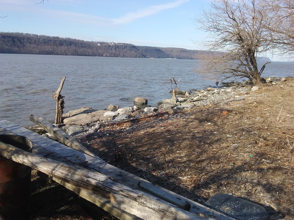 Shore Trail (white)Hiking · ~7 min drivePhoto: Ira Gersh, Public Domain Mark (via Flickr)BischoffHiking · Next doorPhoto: Sandy Wolkenberg, CC BY 4.0 (via Wikimedia Commons)
 Purple TrailHiking · Next doorPhoto: LunchboxLarry, CC BY 2.0 (via Flickr)
Best months: April–June and August–October. Best months have typical highs of 55–85 °F, lows of 30 °F or warmer (32 °F where the station doesn't record snow), at most one snowy day and no more than 12 wet days.
Jan
40° / 23°
11 wet
Feb
43° / 25°
9 wet
Mar
51° / 31°
11 wet
Apr
63° / 40°
12 wet
May
73° / 50°
12 wet
Jun
81° / 59°
11 wet
Jul
86° / 64°
10 wet
Aug
84° / 63°
10 wet
Sep
77° / 56°
9 wet
Oct
65° / 45°
9 wet
Nov
54° / 36°
10 wet
Dec
44° / 29°
11 wet
Typical high / low (°F) and days with rain or snow, 1991–2020. Measured at Dobbs Ferry-Ardsley, NY, 8.1 mi away at 200 ft. This station doesn't record snowfall. Source: NOAA NCEI U.S. Climate Normals 1991–2020.
Map and trail data © OpenStreetMap contributors
