Camp No-Be-Bo-Sco
Campground
Campground · < 0.1 mi from the trail
Orange Trail is a short, easy hike in New Jersey, set within a Boy Scout Camp managed by a non-governmental organization. The trail is an out-and-back route of about 3 miles, with a total elevation gain of 392 feet and a high point of 1,101 feet. The climb is front-loaded, with the steepest stretch at about half a mile in, and the trail returns to its starting elevation of 1,032 feet. Late spring and early fall are the most comfortable times to go. Typical averages from a nearby weather station in Newton, NJ, show May highs around 70°F and September highs around 75°F, while July averages about 84°F. That station sits roughly 500 feet lower than the trail, so temperatures on the trail run a little cooler. The hike takes about an hour. The Yellow Trail lies just 0.2 miles away, and the Blue White Trail is about 0.4 miles off. Ricks Rocks, a climbing area, is about 1.2 miles away, and Alosa Campsites is about 2.2 miles away.
Camp No-Be-Bo-Sco
Campground
Hyde-Away Restaurant & Tap Room
American restaurant
 If it rainsZeete, CC BY-SA 4.0 · Wikimedia Commons
Zinc mine and museum in Ogdensburg, New Jersey
Places © OpenStreetMap contributors, Places © Overture Maps Foundation · Photos: Zeete, CC BY-SA 4.0 (commons)
More in Hackettstown Alosa CampsitesCampingPhoto: Recreation.gov (RIDB) / public domain2.2 mi
Source: Roamze catalog (indexable pages within 10 miles, PostGIS distance)
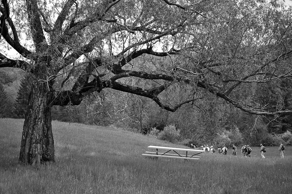 Coventry Pond TrailHiking · ~2 min drivePhoto: pennuja, CC BY 2.0 (via Flickr)
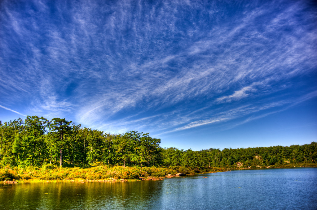 Unmaintained TrailHiking · ~5 min drivePhoto: pennuja, CC BY 2.0 (via Flickr)
 Joseph M. McDade Recreational TrailHiking · ~6 min drivePhoto: Jack and Dianne, CC BY-SA 2.0 (via Flickr)Buttermilk Falls TrailHiking · ~8 min drivePhoto: pennuja, CC BY 2.0 (via Flickr)Donkey's Hollow TrailHiking · ~2 min drivePhoto: pennuja, CC BY 2.0 (via Flickr)
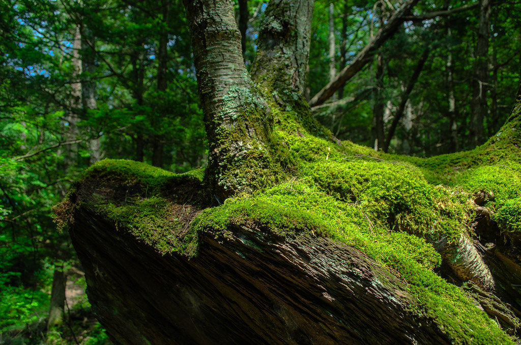 Hamilton Ridge TrailHiking · ~5 min drivePhoto: Garden State Hiker, CC BY 2.0 (via Flickr)Orchard TrailHiking · ~2 min drivePhoto: pennuja, CC BY 2.0 (via Flickr)
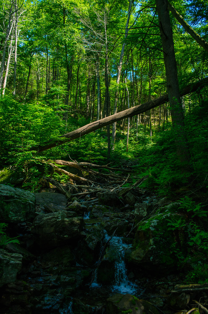 Kaiser TrailHiking · ~9 min drivePhoto: Garden State Hiker, CC BY 2.0 (via Flickr)
Best months: April–October. Best months have typical highs of 55–85 °F, lows of 30 °F or warmer (32 °F where the station doesn't record snow), at most one snowy day and no more than 12 wet days.
Jan
37° / 17°
Feb
40° / 19°
Mar
48° / 28°
Apr
61° / 38°
May
70° / 48°
Jun
80° / 56°
Jul
84° / 62°
Aug
83° / 60°
Sep
75° / 52°
Oct
64° / 41°
Nov
52° / 32°
Dec
41° / 24°
Typical high / low (°F) and days with rain or snow, 1991–2020. Measured at Newton, NJ, 9.6 mi away at 605 ft. This station doesn't record snowfall. Source: NOAA NCEI U.S. Climate Normals 1991–2020.
Map and trail data © OpenStreetMap contributors
