Alosa Campsites
Campground
Campground · 0.9 mi from the trail
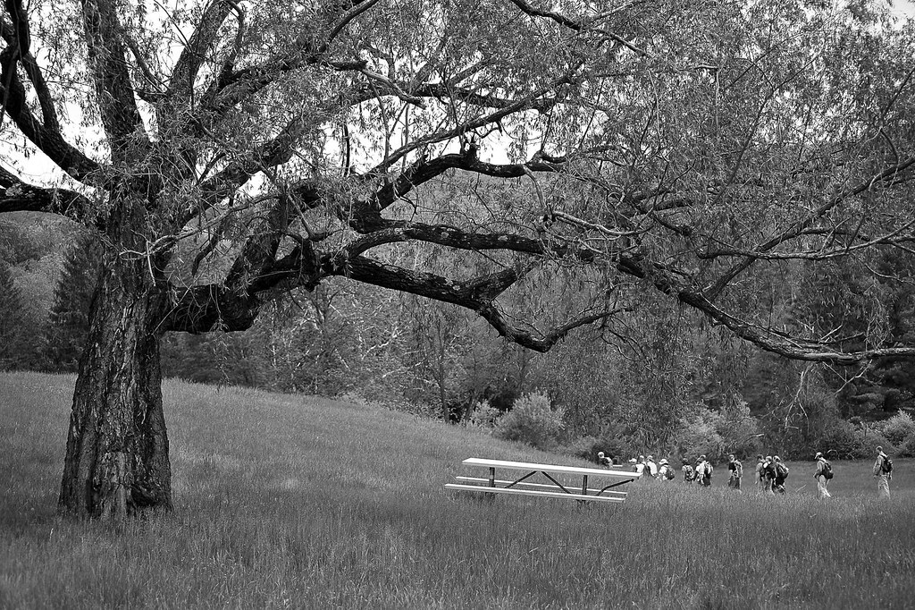 Photo: pennuja, CC BY 2.0 (via Flickr)
Closure in the area
There's a closure order in Delaware Water Gap National Recreation Area. It doesn't name Orchard Trail, so check the source for the area it covers (2 listed).
Old Mine Road North Construction Closure Begins April 6, 2026
Park closure covering Delaware Water Gap National Recreation Area · NPS · Delaware Water Gap National Recreation Area
Dingmans Falls Trail, Road, and Access Closed for Bridge Replacement
Park closure covering Delaware Water Gap National Recreation Area · NPS · Delaware Water Gap National Recreation Area
As of · Source: NPS · Delaware Water Gap National Recreation Area. Agencies don't list every closure — check before you go.
Orchard Trail is a short, easy hike in Delaware Water Gap National Recreation Area in New Jersey, managed by the National Park Service. The trail is about half a mile long and rises roughly 200 feet from its starting point at 678 feet to a high of 887 feet, with the steepest stretch coming within the first 0.07 miles. It is an out-and-back route, and the climb is front-loaded, so the most elevation gain happens early on. Late spring and early fall are the most comfortable times to go. Typical averages from a nearby weather station in Newton, NJ, show May highs around 70°F and September highs around 75°F, with July the warmest month at about 84°F. Several other trails sit close by. Donkey's Hollow Trail is about 0.1 mile away and Coventry Pond Trail about 0.2 mile. Pioneer Trail is roughly 0.8 mile off, and Alosa Campsites is about 0.9 mile away for anyone planning an overnight stay.
Alosa Campsites
Campground
SOTE Gastropub
Pub
 If it rainsZeete, CC BY-SA 4.0 · Wikimedia Commons
Zinc mine and museum in Ogdensburg, New Jersey
Places © OpenStreetMap contributors · Photos: Zeete, CC BY-SA 4.0 (commons)
More in HackettstownDonkey's Hollow TrailHikingPhoto: pennuja, CC BY 2.0 (via Flickr)0.1 miCoventry Pond TrailHikingPhoto: pennuja, CC BY 2.0 (via Flickr)0.2 mi Alosa CampsitesCampingPhoto: Recreation.gov (RIDB) / public domain0.9 mi
Source: Roamze catalog (indexable pages within 10 miles, PostGIS distance)
Donkey's Hollow TrailHiking · Next doorPhoto: pennuja, CC BY 2.0 (via Flickr)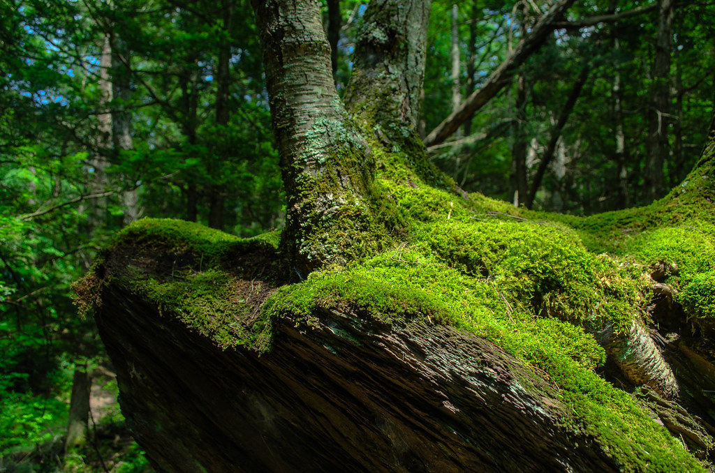 Hamilton Ridge TrailHiking · ~4 min drivePhoto: Garden State Hiker, CC BY 2.0 (via Flickr)
 Joseph M. McDade Recreational TrailHiking · ~4 min drivePhoto: Jack and Dianne, CC BY-SA 2.0 (via Flickr)
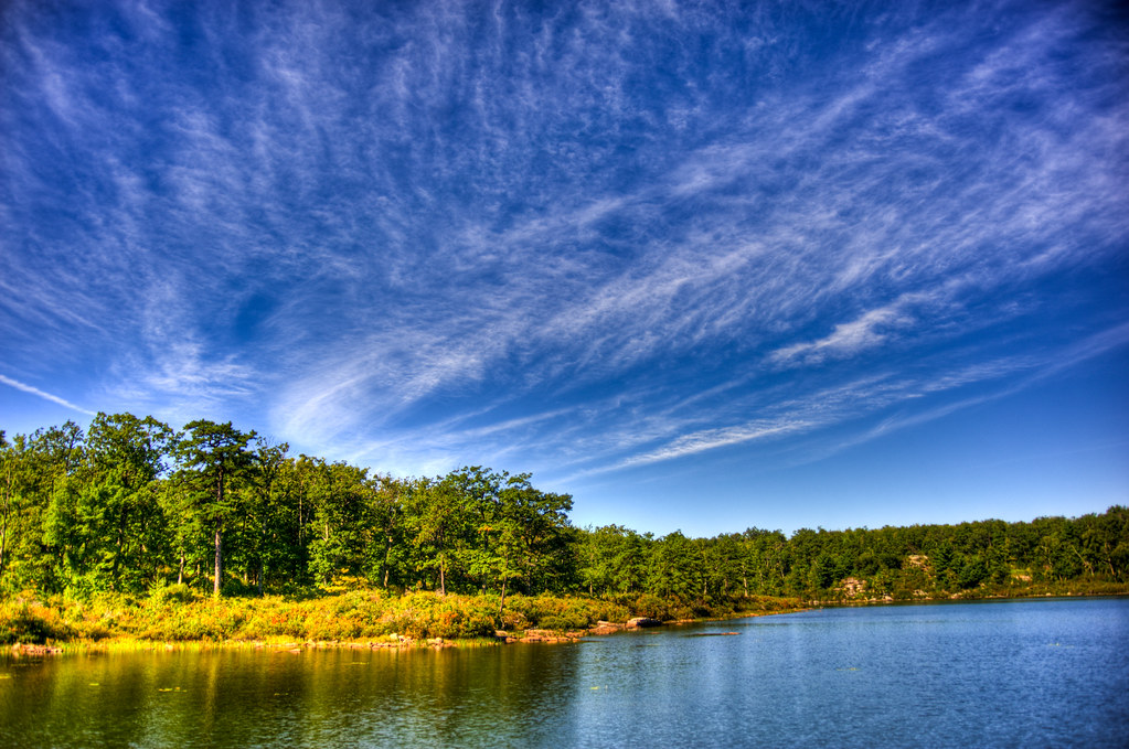 Buttermilk Falls TrailHiking · ~9 min drivePhoto: pennuja, CC BY 2.0 (via Flickr)Coventry Pond TrailHiking · Next doorPhoto: pennuja, CC BY 2.0 (via Flickr)Unmaintained TrailHiking · ~6 min drivePhoto: pennuja, CC BY 2.0 (via Flickr)Van Campens Glen TrailHiking · ~4 min drivePhoto: Garden State Hiker, CC BY 2.0 (via Flickr)
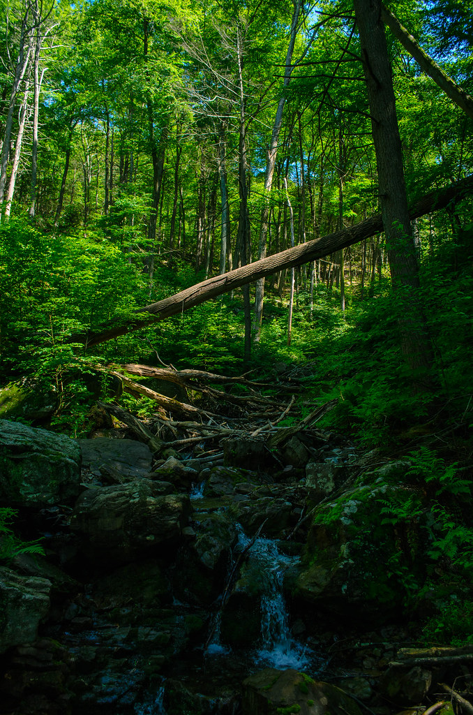 Kaiser TrailHiking · ~9 min drivePhoto: Garden State Hiker, CC BY 2.0 (via Flickr)Railway Avenue TrailHiking · ~4 min drivePhoto: Jack and Dianne, CC BY-SA 2.0 (via Flickr)
Best months: April–October. Best months have typical highs of 55–85 °F, lows of 30 °F or warmer (32 °F where the station doesn't record snow), at most one snowy day and no more than 12 wet days.
Jan
37° / 17°
Feb
40° / 19°
Mar
48° / 28°
Apr
61° / 38°
May
70° / 48°
Jun
80° / 56°
Jul
84° / 62°
Aug
83° / 60°
Sep
75° / 52°
Oct
64° / 41°
Nov
52° / 32°
Dec
41° / 24°
Typical high / low (°F) and days with rain or snow, 1991–2020. Measured at Newton, NJ, 10.7 mi away at 605 ft. This station doesn't record snowfall. Source: NOAA NCEI U.S. Climate Normals 1991–2020.
Map and trail data © OpenStreetMap contributors
