Happiness Is Camping
Campground
Campground · 3.0 mi from the trail
Paulinskill Valley Trail is a 9.25-mile hike in New Jersey, about 0.2 miles from Blairstown. It is an out-and-back route that covers 18.5 miles round trip, with a total elevation gain of 171 feet. The trail starts at about 373 feet and reaches a high point of 492 feet, with the steepest stretch at about 5.7 miles in, where the grade reaches 9%. Late spring and early fall are the most comfortable times to go. Typical averages from a nearby weather station show May highs around 71°F and September highs around 74°F, while July averages about 84°F and January highs sit near 36°F. The trail sits right next to the Paulins Kill, a river fishing access about 0.1 miles away. Limestone Ridge is a hike 0.4 miles off, and Slabtown Creek Park Trail is about 1.9 miles away. For an overnight stay, Alosa Campsites is roughly 7 miles from the trail.
Happiness Is Camping
Campground
Blairstown Diner
Restaurant
 If it rainsJerrye & Roy Klotz, MD, CC BY-SA 3.0 · Wikimedia Commons
Places © OpenStreetMap contributors · Photos: Jerrye & Roy Klotz, MD, CC BY-SA 3.0 (commons)
More in Hackettstown Alosa CampsitesCampingPhoto: Recreation.gov (RIDB) / public domain7.1 mi
Source: Roamze catalog (indexable pages within 10 miles, PostGIS distance)
 Paulinskill Valley TrailHiking · Next doorPhoto: Nicholas A. Tonelli from Pennsylvania, USA, CC BY 2.0 (via Wikimedia Commons)
 Yellow TrailHiking · ~8 min drivePhoto: Nicholas_T, CC BY 2.0 (via Flickr)
 Jenny Jump Trail (Light Blue)Hiking · ~9 min drivePhoto: Nicholas_T, CC BY 2.0 (via Flickr)
 Ghost Lake Trail (Teal)Hiking · ~8 min drivePhoto: Nicholas_T, CC BY 2.0 (via Flickr)
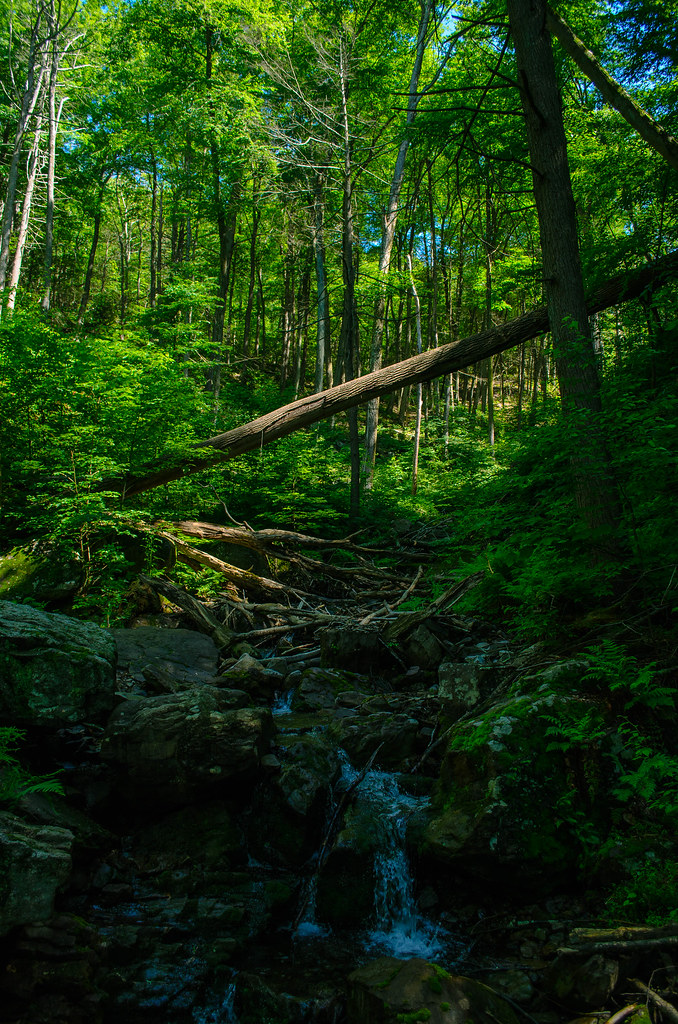 Kaiser TrailHiking · ~8 min drivePhoto: Garden State Hiker, CC BY 2.0 (via Flickr)
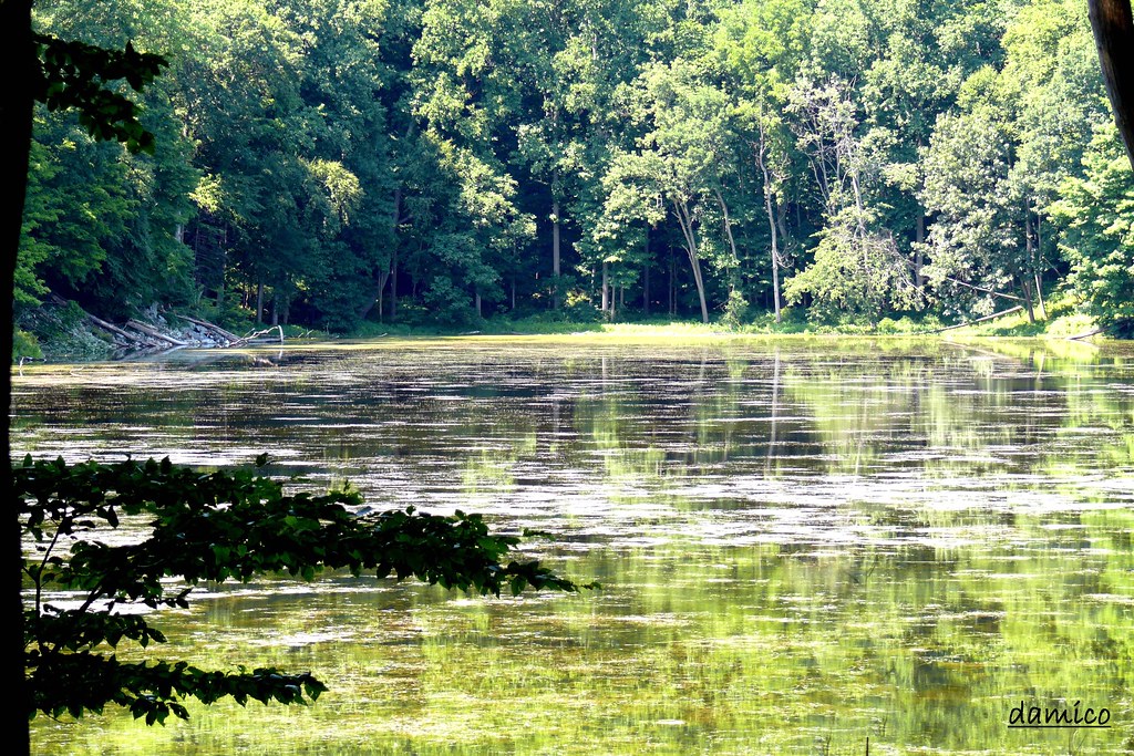 Summit Trail (Tan)Hiking · ~8 min drivePhoto: Denise D'Amico, CC BY-SA 2.0 (via Flickr)
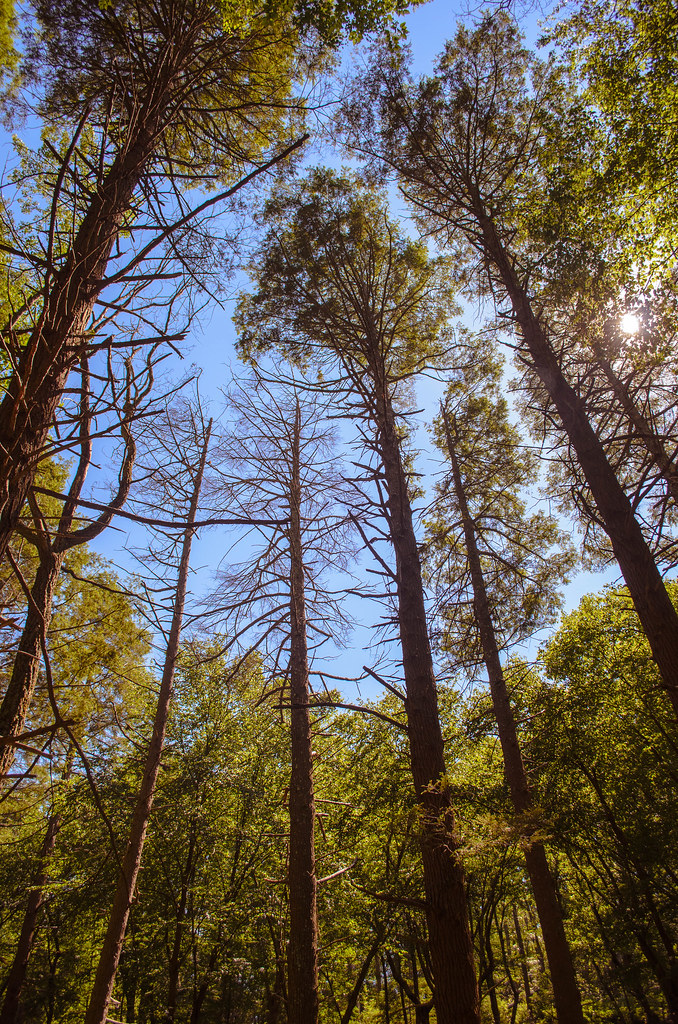 KaiserHiking · ~8 min drivePhoto: Garden State Hiker, CC BY 2.0 (via Flickr)Orchard Trail (White)Hiking · ~8 min drivePhoto: Nicholas_T, CC BY 2.0 (via Flickr)
 Buckwood TrailHiking · ~9 min drivePhoto: 99stepsNY, CC BY 2.0 (via Flickr)
 Coppermine TrailHiking · ~9 min drivePhoto: Zeete, CC BY-SA 3.0 (via Wikimedia Commons)
Best months: April and August–October. Best months have typical highs of 55–85 °F, lows of 30 °F or warmer (32 °F where the station doesn't record snow), at most one snowy day and no more than 12 wet days.
Jan
36° / 19°
12 wet
Feb
39° / 20°
11 wet
Mar
48° / 28°
12 wet
Apr
61° / 38°
12 wet
May
71° / 48°
13 wet
Jun
79° / 57°
13 wet
Jul
84° / 62°
13 wet
Aug
82° / 60°
12 wet
Sep
74° / 52°
11 wet
Oct
63° / 42°
11 wet
Nov
52° / 32°
11 wet
Dec
41° / 25°
12 wet
Typical high / low (°F) and days with rain or snow, 1991–2020. Measured at Andover Aeroflex Ap, NJ, 11.7 mi away at 583 ft. This station doesn't record snowfall. Source: NOAA NCEI U.S. Climate Normals 1991–2020.
Map and trail data © OpenStreetMap contributors
