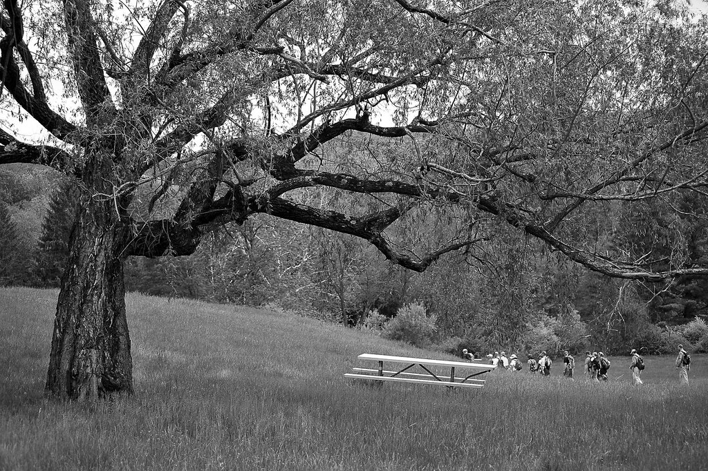
River Bend Group Campsite
Campground
Campground · 0.3 mi from the trail
Clear today
Weather is good · OpenWeather · checked 10 h ago
Closure in the area
There's a closure order in Delaware Water Gap National Recreation Area. It doesn't name Flat Brook, so check the source for the area it covers (2 listed).
Old Mine Road North Construction Closure Begins April 6, 2026
Park closure covering Delaware Water Gap National Recreation Area · NPS · Delaware Water Gap National Recreation Area
Dingmans Falls Trail, Road, and Access Closed for Bridge Replacement
Park closure covering Delaware Water Gap National Recreation Area · NPS · Delaware Water Gap National Recreation Area
As of · Source: NPS · Delaware Water Gap National Recreation Area. Agencies don't list every closure — check before you go.
Flat Brook is a river fishing spot in Delaware Water Gap National Recreation Area in New Jersey, managed by the National Park Service. There is no fee to fish here. The most comfortable months for a visit are late spring and early fall. Typical averages from a nearby weather station in Newton, NJ, run from highs around 70°F in May to about 75°F in September, with July the warmest at about 84°F. Alosa Campsites is about 1.3 miles away. The Orchard Trail and Coventry Pond Trail are both about 1.8 miles off. The Delaware River Water Trail is about 2.2 miles away.
River Bend Group Campsite
Campground
Petrizzio's
Restaurant
 If it rainsZeete, CC BY-SA 4.0 · Wikimedia Commons
Zinc mine and museum in Ogdensburg, New Jersey
Places © OpenStreetMap contributors · Photos: Zeete, CC BY-SA 4.0 (commons)
More in HackettstownNot on Roamze yet. Their page has how to reach them.
Best months: April–October. Best months have typical highs of 55–85 °F, lows of 30 °F or warmer (32 °F where the station doesn't record snow), at most one snowy day and no more than 12 wet days.
Jan
37° / 17°
Feb
40° / 19°
Mar
48° / 28°
Apr
61° / 38°
May
70° / 48°
Jun
80° / 56°
Jul
84° / 62°
Aug
83° / 60°
Sep
75° / 52°
Oct
64° / 41°
Nov
52° / 32°
Dec
41° / 24°
Typical high / low (°F) and days with rain or snow, 1991–2020. Measured at Newton, NJ, 11.1 mi away at 605 ft. This station doesn't record snowfall. Source: NOAA NCEI U.S. Climate Normals 1991–2020.
SEE
Paulins Kill
~14 min drive
Paulins Kill is a river in New Jersey.
SEE
Blue Mountain Lakes
~3 min drive
Blue Mountain Lakes is a 15-acre reservoir near Walpack Township, New Jersey, at about 1,102 feet. It is managed by the National Park Service.
SEE
Long Pine Pond
~4 min drive
Long Pine Pond is a 6-acre pond near Walpack Township, New Jersey, at about 1,190 feet. It is managed by the National Park Service.
SEE
Sand Pond
~5 min drive
Sand Pond is a 17-acre pond near Hardwick, New Jersey, at about 976 feet.
SEE
Fairview Lake
~5 min drive
Fairview Lake is a 102-acre lake near Stillwater Township, New Jersey, at about 913 feet.
SEE
Fairview Lake
~6 min drive
Fairview Lake is an 8-acre lake near Stillwater Township, New Jersey, at about 868 feet.
SEE
Sunny Hill Lake
~7 min drive
Sunny Hill Lake is a 12-acre lake near Lehman Township, Pennsylvania, at about 830 feet. It is managed by the National Park Service.
SEE
Meadows Lake
~8 min drive
Meadows Lake is an 8-acre lake near Hardwick, New Jersey, at about 890 feet.
SEE
Werry Lake
~8 min drive
Werry Lake is a 9-acre lake near Middle Smithfield Township, Pennsylvania, at about 446 feet.
SEE
Second Pond
~8 min drive
Second Pond is an 82-acre pond near Tamiment, Pennsylvania, at about 1,149 feet.