Valley Way Tent Platforms
Campground
Campground · 3.3 mi from the trail
Vyron D Lowe Path is a 3-mile out-and-back hike in New Hampshire, about 1.2 miles from the town of Appalachia. The trail is rated moderate, and it rises from a low point of 1,414 feet to a high of 2,357 feet, with a total elevation gain of 1,149 feet over the course of the round trip. The climb is back-loaded, meaning the steepest stretch comes in the second half of the hike, and the steepest grade reaches 23% at about 0.66 miles in. Summer is the most comfortable time to go. Typical averages from the nearby Pinkham Notch weather station, which sits about 330 feet lower than the high point, show July highs around 75°F with lows near 53°F, while winter highs stay in the 20s. The Crescent Ridge Trail starts just 0.1 mile away, and the Notchway Trail is about 0.8 mile off. For an overnight stay, Barnes Field Campground and the Israel River paddling route are both about 5.4 miles away.
Valley Way Tent Platforms
Campground
 If it rainsKen Gallager, CC BY-SA 4.0 · Wikimedia Commons
Places © OpenStreetMap contributors · Photos: Ken Gallager, CC BY-SA 4.0 (commons)
More in North Conway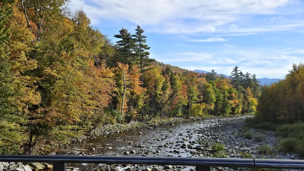 Barnes Field CampgroundCampingPhoto: Recreation.gov (RIDB) / public domain5.4 mi
 Israel RiverCanoeingPhoto: Ken Gallager at en.wikipedia, Public domain (via Wikimedia Commons)5.4 mi
 Dolly CoppCampingPhoto: Recreation.gov (RIDB) / public domain5.6 mi
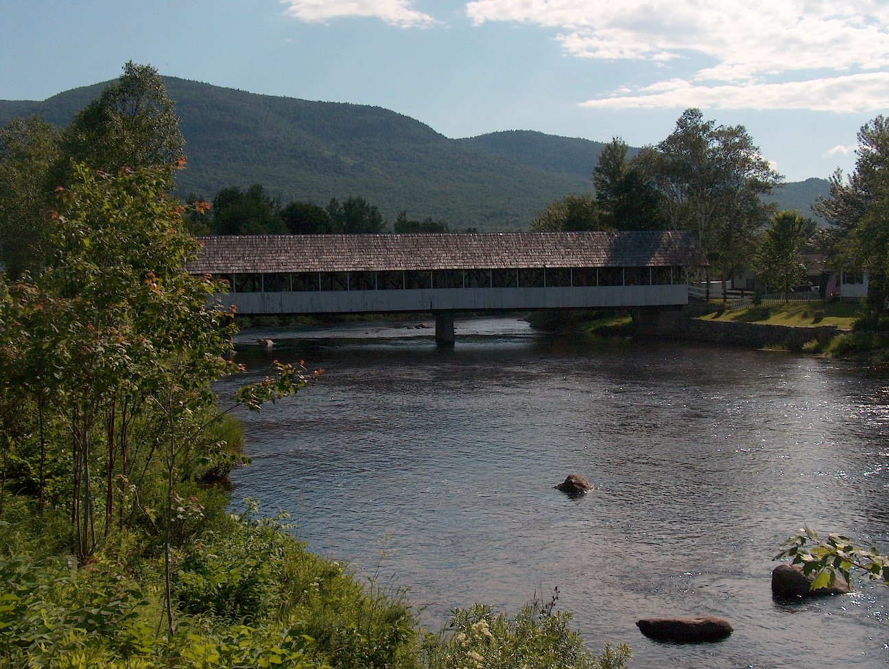 Upper Ammonoosuc RiverCanoeingPhoto: Ken Gallager at English Wikipedia, Public domain (via Wikimedia Commons)5.9 mi
Source: Roamze catalog (indexable pages within 10 miles, PostGIS distance)
Also worth it near here
 Mount JeffersonSummit · ~9 min drivePhoto: Paulbalegend at English Wikipedia, CC BY-SA 3.0 (via Wikimedia Commons)Israel RiverCanoeing · ~9 min drivePhoto: Ken Gallager at en.wikipedia, Public domain (via Wikimedia Commons)
Best months: September. Best months have typical highs of 55–85 °F, lows of 30 °F or warmer (32 °F where the station doesn't record snow), at most one snowy day and no more than 12 wet days.
Jan
26° / 6°
14 wet
Feb
28° / 7°
13 wet
Mar
36° / 15°
14 wet
Apr
49° / 27°
13 wet
May
62° / 39°
15 wet
Jun
70° / 48°
14 wet
Jul
75° / 53°
14 wet
Aug
74° / 52°
13 wet
Sep
68° / 45°
12 wet
Oct
54° / 35°
14 wet
Nov
42° / 24°
14 wet
Dec
31° / 14°
16 wet
Typical high / low (°F) and days with rain or snow, 1991–2020. Measured at Pinkham Notch, NH, 8.9 mi away at 2,025 ft. This station doesn't record snowfall. Source: NOAA NCEI U.S. Climate Normals 1991–2020.
Map and trail data © OpenStreetMap contributors
