Rattle River Shelter
Campground
Campground · 3.0 mi from the trail
The Carter-Moriah Trail is a hard hike in New Hampshire, about 0.6 miles from the town of Gorham. It is an out-and-back route that climbs from a low point of 795 feet to a high point of 4,010 feet, with a total elevation gain of 3,304 feet over a round-trip distance of about 8.6 miles. The trail starts at roughly 954 feet and ends at the same elevation, so the climb is roughly equal to the descent. The trip takes about 4.5 hours, and the route is rated hard. Plan for a long day with a significant climb, and expect the trail to be steep in the middle of the route. Several other destinations sit close by. The Rail Path is 0.8 miles away, and Bear Springs Trail and Stony Brook are each within about a mile and a half. For an overnight stay, Rattle River Shelter is about 3 miles off.
Rattle River Shelter
Campground
Places © OpenStreetMap contributors, Places © Overture Maps Foundation
More in North ConwayDaily highs and lows, wind and the chance of precipitation at the summit and route start for the next 7 days, from the Open-Meteo model.
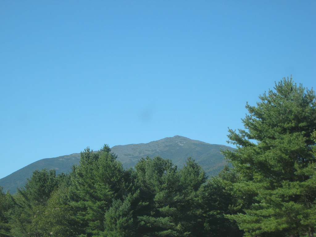 Bear Springs TrailHikingPhoto: msprague, CC BY-SA 2.0 (via Flickr)1.2 miStony BrookHikingPhoto: msprague, CC BY-SA 2.0 (via Flickr)1.3 mi
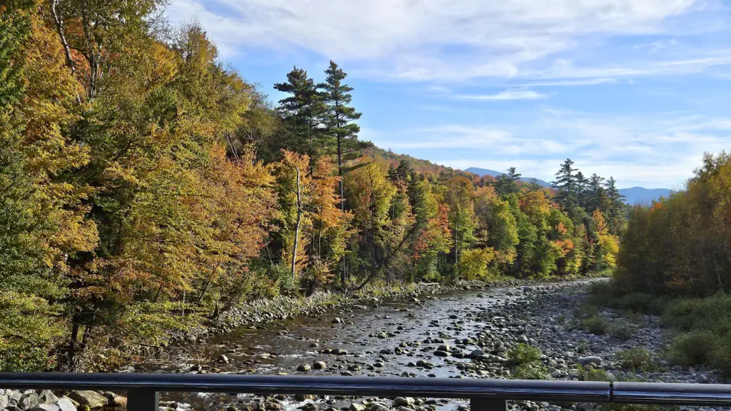 Barnes Field CampgroundCampingPhoto: Recreation.gov (RIDB) / public domain3.8 mi
 Madigan AreaRock climbingPhoto: Jon Platek, CC BY-SA 3.0 (via Wikimedia Commons)6.6 mi
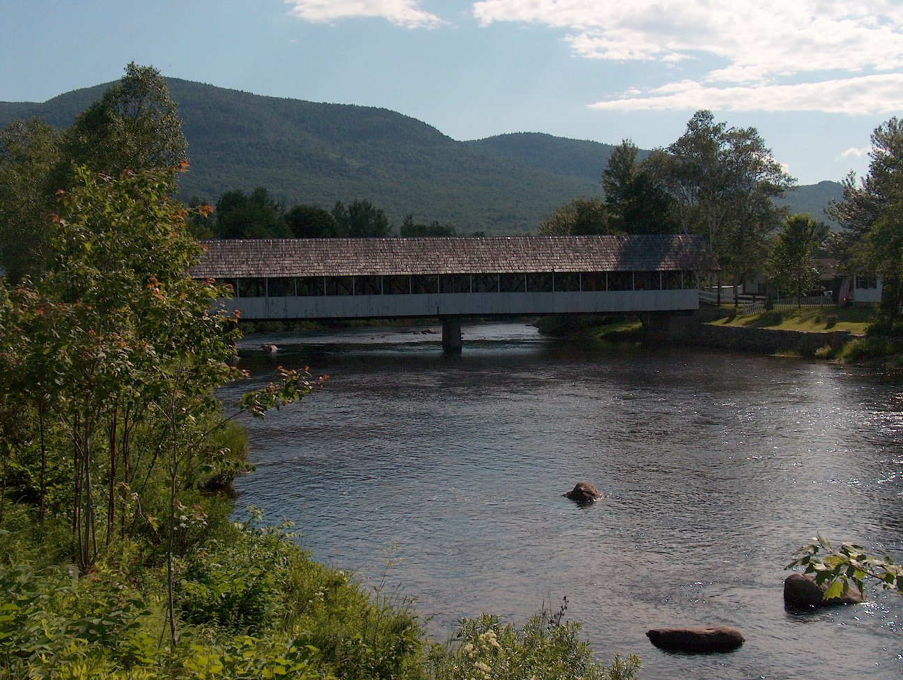 Upper Ammonoosuc RiverCanoeingPhoto: Ken Gallager at English Wikipedia, Public domain (via Wikimedia Commons)9.5 mi
Source: Roamze catalog (indexable pages within 10 miles, PostGIS distance)
Bear Springs TrailHiking · ~2 min drivePhoto: msprague, CC BY-SA 2.0 (via Flickr)Stony BrookHiking · ~2 min drivePhoto: msprague, CC BY-SA 2.0 (via Flickr)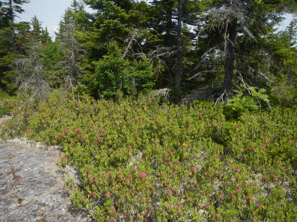 Mahoosuc TrailHiking · ~5 min drivePhoto: John Hayes (gravelboy), CC BY 2.0 (via Flickr)
 Gates Brook TrailHiking · ~8 min drivePhoto: Magicpiano, CC BY-SA 3.0 (via Wikimedia Commons)Thistle Hill Shelter - New HampshireHiking · ~6 min drivePhoto: John Hayes (gravelboy), CC BY 2.0 (via Flickr)
 Kenduskeag TrailHiking · ~6 min drivePhoto: John Hayes (gravelboy), CC BY 2.0 (via Flickr)Austin BrookHiking · ~10 min drivePhoto: Magicpiano, CC BY-SA 3.0 (via Wikimedia Commons)KenduskeagHiking · ~6 min drivePhoto: John Hayes (gravelboy), CC BY 2.0 (via Flickr)
About 4.3 mi round trip.
About 3,304 ft of climbing round trip.
It is rated hard.
About 3 hours round trip.
2: Kenduskeag Trail and Carter-Moriah Trail.
Map and trail data © OpenStreetMap contributors

