Presidential Rail Trail
- 4.1 mi
- round trip
- 583 ft
- climb
- 1,386 ft
- high point
- Out and back
- route
- Aug–Sep
- best months
The Presidential Rail Trail is a 4.06-mile hike in New Hampshire, about 1.6 miles from the town of Highlands. It is an out-and-back route that starts and ends at roughly 1,137 feet, with a high point of 1,386 feet. The trail has a total elevation gain of 583 feet, and the steepest stretch comes at about 2.4 miles in, where the grade reaches 6 percent. Summer is the most comfortable time to go. Typical averages from a nearby weather station in Jefferson, NH, run to highs around 78°F in July and 76°F in August, with lows in the mid-50s. Winters are cold, with January highs near 26°F. The trip takes about 3 hours. Owls Head is 1.5 miles away, and the AGNEW TRAIL SNOMO is 2.4 miles off. Paddlers can head to the Israel River, about 2.6 miles away, and Cherry Mountain Road Camping is 4.5 miles from the trail.
- Owls HeadHiking1.5 mi
- AGNEW TRAIL SNOMOHiking2.4 mi
 Israel RiverCanoeingPhoto: Ken Gallager at en.wikipedia, Public domain (via Wikimedia Commons)2.6 mi
- Cherry Mountain Road CampingCamping4.5 mi
- Twin Mountain / Mt. Washington KOA HolidayCamping5.4 mi
- Johns RiverCanoeing6.7 mi
- Sugarloaf, North MtnRock climbing8.1 mi
- Mount OscarRock climbing8.4 mi
Source: Roamze catalog (indexable pages within 10 miles, PostGIS distance)
 Starr KingHiking · ~6 min drivePhoto: timsackton, CC BY-SA 2.0 (via Flickr)
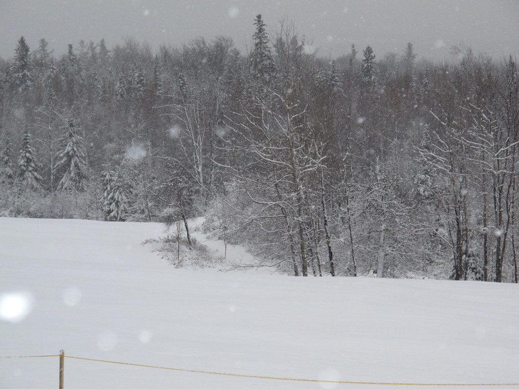 Whitefield Heritage TrailHiking · ~11 min drivePhoto: BillDamon, CC BY 2.0 (via Flickr)
 Caps RidgeHiking · ~13 min drivePhoto: Ktr101, CC BY-SA 2.0 (via Flickr)
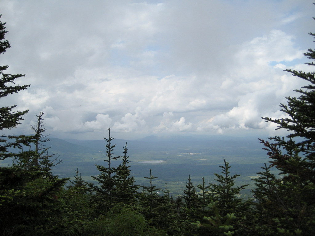 Kilkenny RidgeHiking · ~8 min drivePhoto: timsackton, CC BY-SA 2.0 (via Flickr)
 Whitefield Heritage TrailHiking · ~12 min drivePhoto: Magicpiano, CC BY-SA 4.0 (via Wikimedia Commons)
 York Pond TrailHiking · ~13 min drivePhoto: Magicpiano, CC BY-SA 4.0 (via Wikimedia Commons)
 New Hampshire Heritage TrailHiking · ~13 min drivePhoto: Magicpiano, CC BY-SA 4.0 (via Wikimedia Commons)
- Ken Jordan Nature TrailHiking · ~13 min drivePhoto: Magicpiano, CC BY-SA 4.0 (via Wikimedia Commons)
- Owls HeadHiking · ~3 min drive
- Around the Mountain Loop TrailHiking · ~13 min drivePhoto: Magicpiano, CC BY-SA 4.0 (via Wikimedia Commons)
Best time to visit Presidential Rail Trail
Best months: August–September. Best months have typical highs of 55–85 °F, lows of 30 °F or warmer (32 °F where the station doesn't record snow), at most one snowy day and no more than 12 wet days.
Jan
26° / 7°
16 wet
Feb
29° / 9°
14 wet
Mar
38° / 18°
14 wet
Apr
51° / 30°
13 wet
May
64° / 42°
14 wet
Jun
73° / 51°
14 wet
Jul
78° / 56°
13 wet
Aug
76° / 54°
12 wet
Sep
67° / 45°
11 wet
Oct
55° / 37°
14 wet
Nov
41° / 27°
15 wet
Dec
31° / 16°
17 wet
Typical high / low (°F) and days with rain or snow, 1991–2020. Measured at Jefferson, NH, 3.6 mi away at 1,235 ft. This station doesn't record snowfall. Source: NOAA NCEI U.S. Climate Normals 1991–2020.
Map and trail data © OpenStreetMap contributors
