Valley Way Tent Platforms
Campground
Campground · 2.3 mi from the trail
Closure in the area
There's a closure order in White Mountain National Forest. It doesn't name Amphibrach, so check the source for the area it covers (2 listed).
Wild River Fire - Androscoggin Ranger District
Agency closure covering White Mountain National Forest · USFS · White Mountain National Forest
Rattlesnake Fire – Pemigewasset Ranger District
Agency closure covering White Mountain National Forest · USFS · White Mountain National Forest
Town Hall Road Camping and Fire Restrictions
Agency alert covering White Mountain National Forest · USFS · White Mountain National Forest
Lincoln Woods Trail Closure
Agency alert covering White Mountain National Forest · USFS · White Mountain National Forest
Forest Roads Status
Agency alert covering White Mountain National Forest · USFS · White Mountain National Forest
As of · Source: USFS · White Mountain National Forest. Agencies don't list every closure — check before you go.
Amphibrach is a 3.8-mile out-and-back hike in the Androscoggin Ranger District of White Mountain National Forest in New Hampshire. The trail rises from about 1,500 feet to a high point of 2,927 feet, with a total elevation gain of 1,495 feet. The climb is front-loaded, and the steepest stretch comes at about 1.2 miles in, where the grade reaches 22 percent. The route is natural-surface and allows bikes, and it is not an accessible trail. The trip takes about two hours, and the trail is open year-round. Summer is the most comfortable time to go. Typical averages from the nearby Pinkham Notch weather station, which sits about 900 feet lower, show July highs around 75°F with lows near 53°F. Winter is cold, with January highs around 26°F. Sylvan Way and Beechwood Way both start about 0.1 mile away. Barnes Field Campground and the Pine Mountain climbing area are each about 4 miles off.
Valley Way Tent Platforms
Campground
 If it rainsKen Gallager, CC BY-SA 4.0 · Wikimedia Commons
Places © OpenStreetMap contributors · Photos: Ken Gallager, CC BY-SA 4.0 (commons)
More in North Conway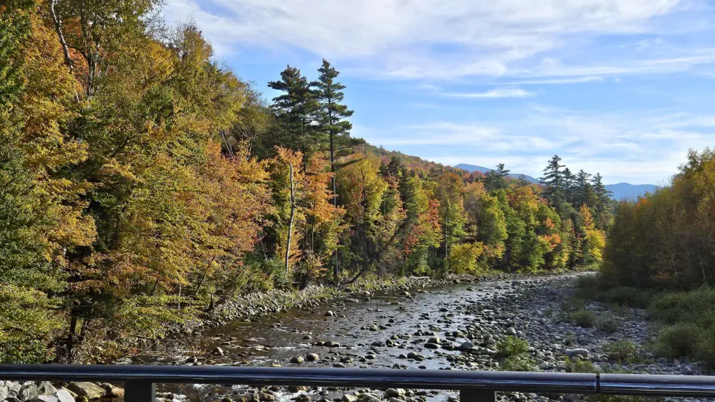 Barnes Field CampgroundCampingPhoto: Recreation.gov (RIDB) / public domain4.4 mi
 Israel RiverCanoeingPhoto: Ken Gallager at en.wikipedia, Public domain (via Wikimedia Commons)5.9 mi
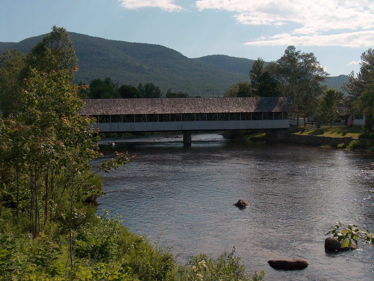 Upper Ammonoosuc RiverCanoeingPhoto: Ken Gallager at English Wikipedia, Public domain (via Wikimedia Commons)6.9 mi
Source: Roamze catalog (indexable pages within 10 miles, PostGIS distance)
 Watson PathHiking · ~3 min drivePhoto: Ktr101, CC BY-SA 2.0 (via Flickr)
Best months: September. Best months have typical highs of 55–85 °F, lows of 30 °F or warmer (32 °F where the station doesn't record snow), at most one snowy day and no more than 12 wet days.
Jan
26° / 6°
14 wet
Feb
28° / 7°
13 wet
Mar
36° / 15°
14 wet
Apr
49° / 27°
13 wet
May
62° / 39°
15 wet
Jun
70° / 48°
14 wet
Jul
75° / 53°
14 wet
Aug
74° / 52°
13 wet
Sep
68° / 45°
12 wet
Oct
54° / 35°
14 wet
Nov
42° / 24°
14 wet
Dec
31° / 14°
16 wet
Typical high / low (°F) and days with rain or snow, 1991–2020. Measured at Pinkham Notch, NH, 7.9 mi away at 2,025 ft. The station sits about 900 ft lower than this place, so expect it a little cooler here. This station doesn't record snowfall. Source: NOAA NCEI U.S. Climate Normals 1991–2020.

