Thurston's Cove Trail
- 1.2 mi
- round trip
- 350 ft
- climb
- 1,373 ft
- high point
- Out and back
- route
- May–Oct
- best months
Thurston's Cove Trail is a short, easy out-and-back hike in Umbagog National Wildlife Refuge in New Hampshire, managed by the U.S. Fish and Wildlife Service. The trail is about 2.4 miles long, with a total elevation gain of 350 feet, and it starts at roughly 1,319 feet, rising to a high point of about 1,373 feet before returning to the starting level. The steepest stretch comes at about 0.39 miles in, with a grade of about 9 percent. Summer is the most comfortable time to go. Typical averages from a nearby weather station in Errol put July highs around 77°F with lows near 52°F, while winter highs stay in the 20s. The trail takes about an hour to complete. Potter Farm Nature Trail is about 1.8 miles away, and Middle Mountain Pond Trail is about 3.6 miles off. Across the state line in Maine, the R23 and R24 campgrounds sit about 2.7 miles away.
- Potter Farm Nature TrailHiking1.8 mi
- R23Camping2.7 mi
- R24Camping2.7 mi
- R22Camping2.7 mi
- Middle Mountain Pond TrailHiking3.6 mi
- Androscoggin RiverRiver fishing4.7 mi
- Round Pond TrailHiking5.7 mi
- Rapid RiverRiver fishing8.5 mi
Source: Roamze catalog (indexable pages within 10 miles, PostGIS distance)
 Errol Town TrailHiking · ~10 min drivePhoto: U. S. Fish and Wildlife Service - Northeast Region, Public domain (via Wikimedia Commons)
 Eyebrow TrailHiking · ~19 min drivePhoto: athrasher, Public Domain Dedication (CC0) (via Flickr)
 Table Rock TrailHiking · ~20 min drivePhoto: daveynin, CC BY 2.0 (via Flickr)
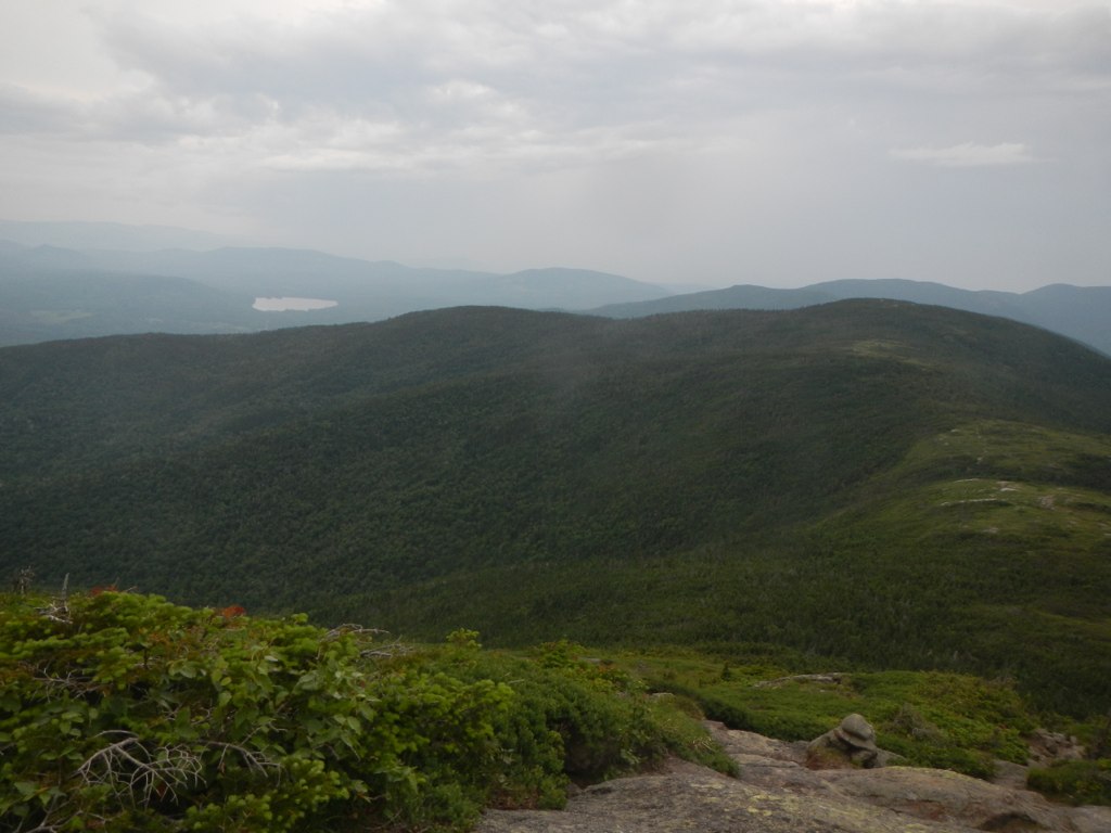 Wright TrailHiking · ~27 min drivePhoto: John Hayes (gravelboy), CC BY 2.0 (via Flickr)
 Notch TrailHiking · ~23 min drivePhoto: John Hayes (gravelboy), CC BY 2.0 (via Flickr)
- Appalachian TrailHiking · ~20 min drivePhoto: athrasher, Public Domain Dedication (CC0) (via Flickr)
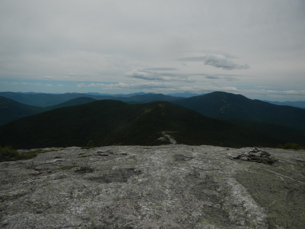 Baldpate Mountain TrailHiking · ~20 min drivePhoto: John Hayes (gravelboy), CC BY 2.0 (via Flickr)
- Grafton Loop TrailHiking · ~21 min drive
 Sanguinary Ledge TrailHiking · ~25 min drivePhoto: gotjen, CC BY 3.0 (via Wikimedia Commons)
- Table Rock Trail #50Hiking · ~25 min drivePhoto: gotjen, CC BY 3.0 (via Wikimedia Commons)
Best time to visit Thurston's Cove Trail
Best months: May–October. Best months have typical highs of 55–85 °F, lows of 30 °F or warmer (32 °F where the station doesn't record snow), at most one snowy day and no more than 12 wet days.
Jan
23° / 1°
Feb
26° / -1°
Mar
36° / 11°
Apr
49° / 26°
May
63° / 39°
Jun
72° / 48°
Jul
77° / 52°
Aug
75° / 50°
Sep
68° / 43°
Oct
55° / 32°
Nov
41° / 23°
Dec
29° / 10°
Typical high / low (°F) and days with rain or snow, 1991–2020. Measured at Errol Ap, NH, 6.2 mi away at 1,240 ft. This station doesn't record snowfall. Source: NOAA NCEI U.S. Climate Normals 1991–2020.
