Youth Group Campground
Campground
Campground · 0.7 mi from the trail
 Photo: rickpilot_2000, CC BY 2.0 (via Flickr)
Split Rock Trail is a 1.2-mile point-to-point hike in Pawtuckaway State Park in New Hampshire, managed by the State Department of Natural Resources. The trail rises about 100 feet from a starting elevation of 440 feet to a high point of 452 feet, with the steepest stretch at about 0.6 miles in, where the grade reaches 7 percent. The climb is front-loaded, and the route ends with a slight descent. The most comfortable months for a visit are late spring through early fall. Typical averages from a nearby weather station in Epping run from highs around 68°F in May to about 73°F in September, with July the warmest at 82°F. That station sits roughly 290 feet lower than the trail, so temperatures on the trail run a little cooler. The trail is rated moderate, and the route takes about half an hour. Bikes are allowed. The Woronoco Trail starts just 0.1 mile away, and the Fundy Trail and Shaw Trail are both within a mile. Climbers can find the Pawtuckaway climbing area about 0.7 mile off.
Youth Group Campground
Campground
Moe's Italian Sandwiches
Fast food
 If it rainsDebraHardy, CC BY-SA 3.0 · Wikimedia Commons
Folsom Tavern
Museum
Places © OpenStreetMap contributors · Photos: DebraHardy, CC BY-SA 3.0 (commons)
More in DerryWoronoco TrailHikingPhoto: rickpilot_2000, CC BY 2.0 (via Flickr)0.1 miFundy TrailHikingPhoto: rickpilot_2000, CC BY 2.0 (via Flickr)0.6 mi Shaw TrailHikingPhoto: codymcarlson, CC BY-SA 2.0 (via Flickr)0.7 mi
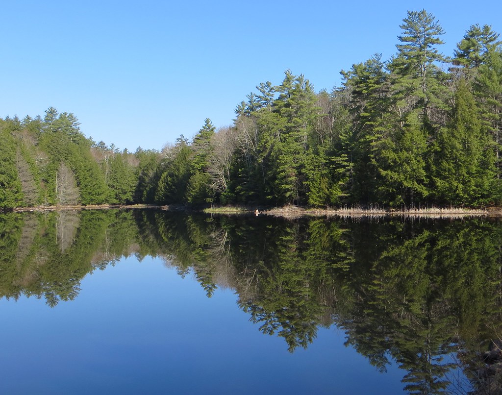 Round Pond TrailHikingPhoto: Under the same moon..., CC BY 2.0 (via Flickr)0.7 mi
Source: Roamze catalog (indexable pages within 10 miles, PostGIS distance)
Fundy TrailHiking · Next doorPhoto: rickpilot_2000, CC BY 2.0 (via Flickr)Shaw TrailHiking · ~1 min drivePhoto: codymcarlson, CC BY-SA 2.0 (via Flickr)Round Pond TrailHiking · ~1 min drivePhoto: Under the same moon..., CC BY 2.0 (via Flickr)Tower TrailHiking · ~1 min drivePhoto: codymcarlson, CC BY-SA 2.0 (via Flickr)Mountain TrailHiking · ~1 min drivePhoto: Under the same moon..., CC BY 2.0 (via Flickr)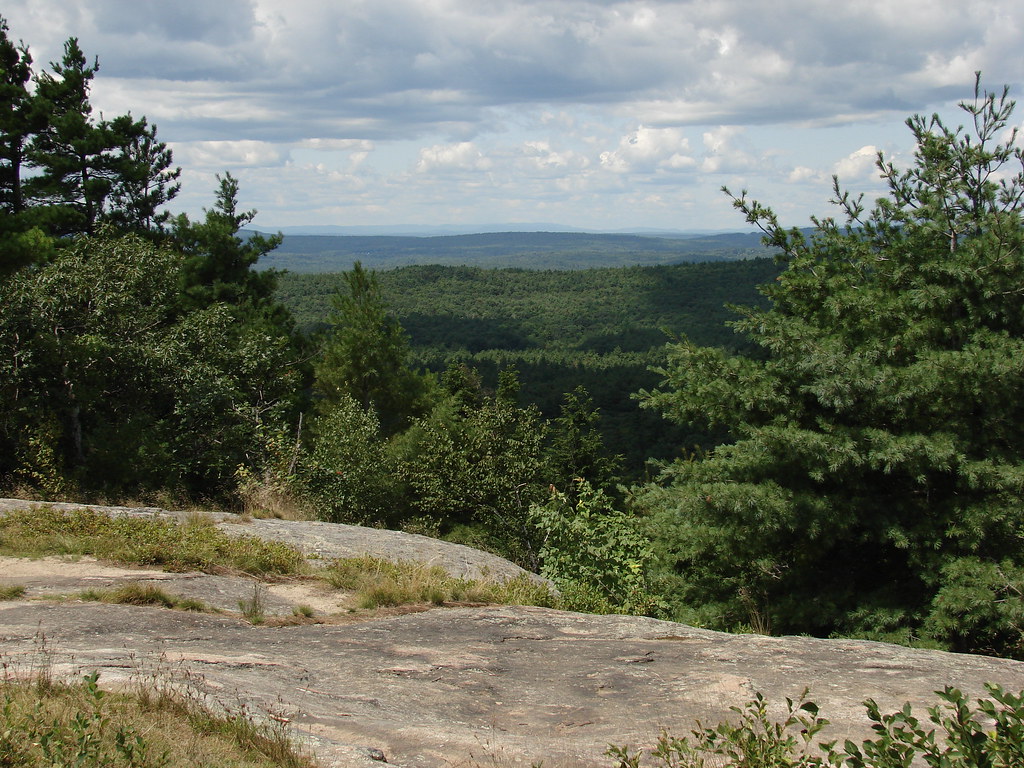 Middle Mountain TrailHiking · ~2 min drivePhoto: codymcarlson, CC BY-SA 2.0 (via Flickr)South Ridge TrailHiking · ~2 min drivePhoto: codymcarlson, CC BY-SA 2.0 (via Flickr)North Mountain TrailHiking · ~2 min drivePhoto: codymcarlson, CC BY-SA 2.0 (via Flickr)
Best months: April–October. Best months have typical highs of 55–85 °F, lows of 30 °F or warmer (32 °F where the station doesn't record snow), at most one snowy day and no more than 12 wet days.
Jan
33° / 14°
10 wet
Feb
35° / 16°
8 wet
Mar
44° / 24°
10 wet
Apr
57° / 34°
11 wet
May
68° / 44°
11 wet
Jun
76° / 54°
11 wet
Jul
82° / 59°
11 wet
Aug
81° / 57°
9 wet
Sep
73° / 50°
9 wet
Oct
61° / 38°
10 wet
Nov
49° / 30°
10 wet
Dec
38° / 21°
11 wet
Typical high / low (°F) and days with rain or snow, 1991–2020. Measured at Epping, NH, 6.2 mi away at 160 ft. This station doesn't record snowfall. Source: NOAA NCEI U.S. Climate Normals 1991–2020.
Map and trail data © OpenStreetMap contributors
