Saddleback Campground
Campground
Campground · 1.4 mi from the trail
Saddleback Mountain Loop Trail is a 0.87-mile point-to-point trail in New Hampshire with 462 feet of elevation gain. The route descends 163 feet over its short distance.
Saddleback Campground
Campground
Roberto's
Restaurant
 If it rainsStruthious Bandersnatch, CC BY-SA 3.0 · Wikimedia Commons
Places © OpenStreetMap contributors · Photos: Struthious Bandersnatch, CC BY-SA 3.0 (commons)
More in Derry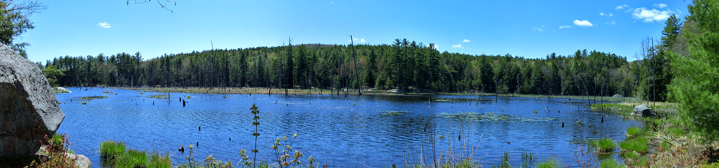 Howard's PathHiking · ~8 min drivePhoto: ihamr, CC BY 2.0 (via Flickr)
 Quarry TrailHiking · ~8 min drivePhoto: ihamr, CC BY 2.0 (via Flickr)
 ILA TrailHiking · ~9 min drivePhoto: clembore, CC BY-SA 2.0 (via Flickr)Boulder TrailHiking · ~9 min drivePhoto: ihamr, CC BY 2.0 (via Flickr)North Mountain TrailHiking · ~9 min drivePhoto: ihamr, CC BY 2.0 (via Flickr)North Mountain BypassHiking · ~9 min drivePhoto: ihamr, CC BY 2.0 (via Flickr)
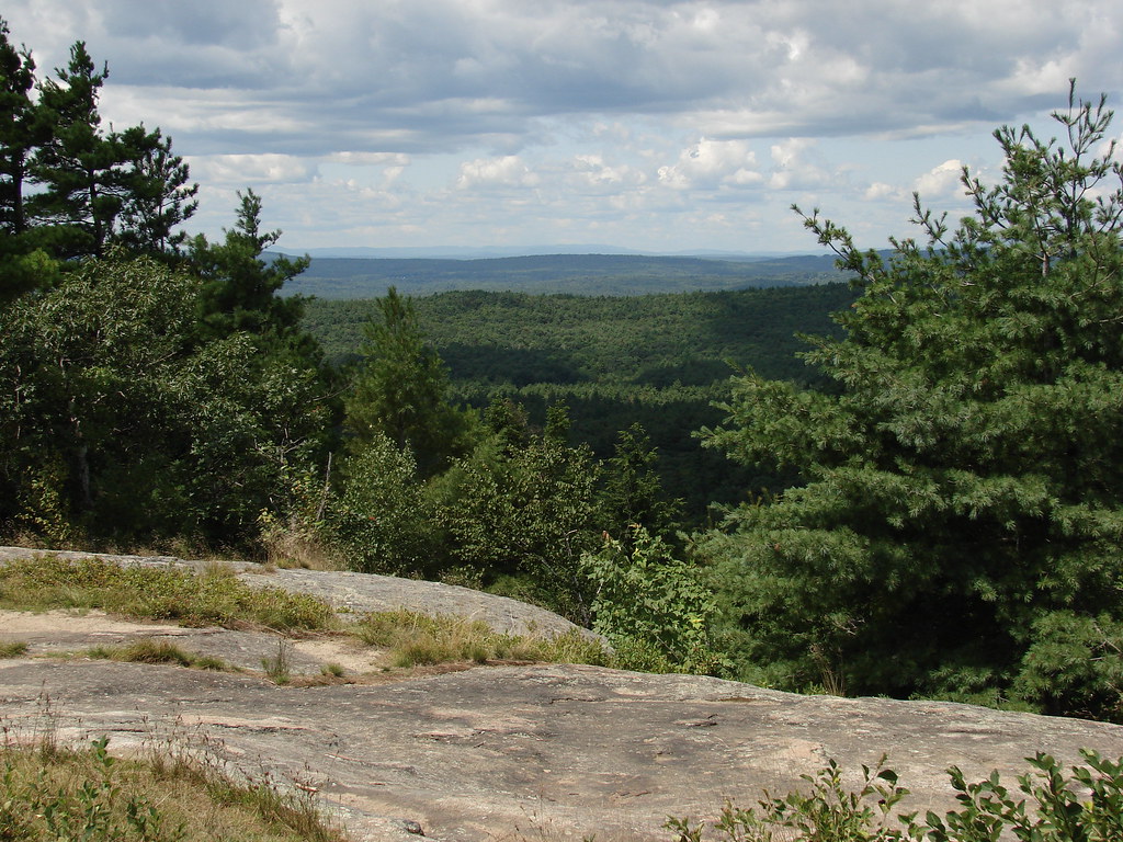 North Mountain TrailHiking · ~10 min drivePhoto: codymcarlson, CC BY-SA 2.0 (via Flickr)
Best months: April–October. Best months have typical highs of 55–85 °F, lows of 30 °F or warmer (32 °F where the station doesn't record snow), at most one snowy day and no more than 12 wet days.
Jan
33° / 14°
10 wet
Feb
35° / 16°
8 wet
Mar
44° / 24°
10 wet
Apr
57° / 34°
11 wet
May
68° / 44°
11 wet
Jun
76° / 54°
11 wet
Jul
82° / 59°
11 wet
Aug
81° / 57°
9 wet
Sep
73° / 50°
9 wet
Oct
61° / 38°
10 wet
Nov
49° / 30°
10 wet
Dec
38° / 21°
11 wet
Typical high / low (°F) and days with rain or snow, 1991–2020. Measured at Epping, NH, 12.7 mi away at 160 ft. The station sits about 900 ft lower than this place, so expect it a little cooler here. This station doesn't record snowfall. Source: NOAA NCEI U.S. Climate Normals 1991–2020.
Map and trail data © OpenStreetMap contributors
