Valley Way Tent Platforms
Campground
Campground · 1.0 mi from the trail
Closure in the area
There's a closure order in White Mountain National Forest. It doesn't name Scar, so check the source for the area it covers (2 listed).
Wild River Fire - Androscoggin Ranger District
Agency closure covering White Mountain National Forest · USFS · White Mountain National Forest
Rattlesnake Fire – Pemigewasset Ranger District
Agency closure covering White Mountain National Forest · USFS · White Mountain National Forest
Town Hall Road Camping and Fire Restrictions
Agency alert covering White Mountain National Forest · USFS · White Mountain National Forest
Lincoln Woods Trail Closure
Agency alert covering White Mountain National Forest · USFS · White Mountain National Forest
Forest Roads Status
Agency alert covering White Mountain National Forest · USFS · White Mountain National Forest
As of · Source: USFS · White Mountain National Forest. Agencies don't list every closure — check before you go.
Scar is a 1.7-mile out-and-back hike in the Androscoggin Ranger District of White Mountain National Forest in New Hampshire, managed by the Forest Service. The trail is rated easy, with a total elevation gain of about 980 feet, and it is a natural-surface route that allows bikes. The climb is front-loaded, with the steepest stretch at about 0.09 miles in, where the grade reaches 33%. The trail starts at roughly 2,809 feet and peaks at about 3,714 feet before returning to the starting point. Watson Path lies about 0.3 miles away, and Inlook is about 0.8 miles off. For an overnight stay, Osgood Tent Site and Barnes Field Campground are both within about 3.3 miles.
Valley Way Tent Platforms
Campground
The Glen House
Restaurant
 If it rainsKen Gallager, CC BY-SA 4.0 · Wikimedia Commons
Places © OpenStreetMap contributors · Photos: Ken Gallager, CC BY-SA 4.0 (commons)
More in North Conway Watson PathHikingPhoto: Ktr101, CC BY-SA 2.0 (via Flickr)0.3 mi
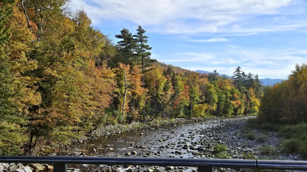 Barnes Field CampgroundCampingPhoto: Recreation.gov (RIDB) / public domain3.3 mi
 Israel RiverCanoeingPhoto: Ken Gallager at en.wikipedia, Public domain (via Wikimedia Commons)6.9 mi
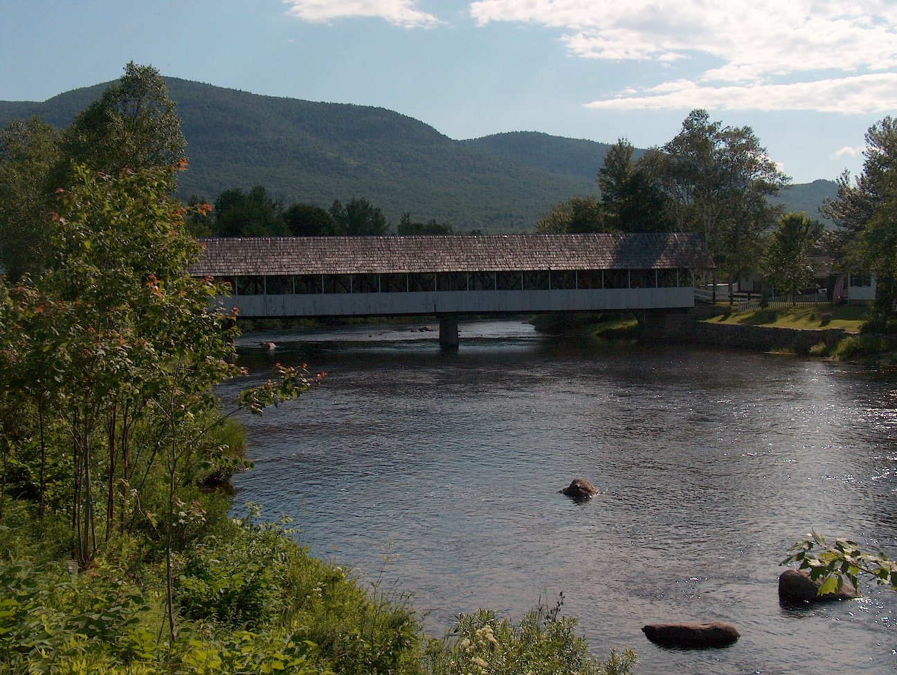 Upper Ammonoosuc RiverCanoeingPhoto: Ken Gallager at English Wikipedia, Public domain (via Wikimedia Commons)8.3 mi
Source: Roamze catalog (indexable pages within 10 miles, PostGIS distance)
Watson PathHiking · Next doorPhoto: Ktr101, CC BY-SA 2.0 (via Flickr)Madison Gulf TrailHiking · ~3 min drivePhoto: Ktr101, CC BY-SA 2.0 (via Flickr)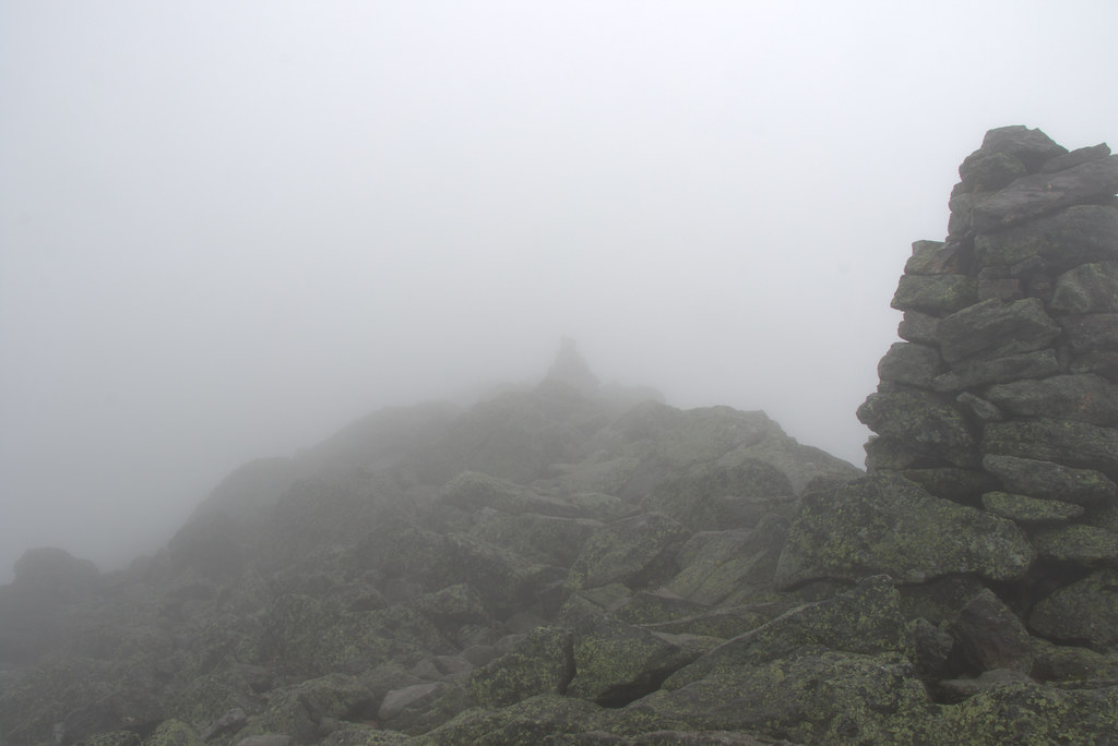 ParapetHiking · ~3 min drivePhoto: Ktr101, CC BY-SA 2.0 (via Flickr)Howker Ridge TrailHiking · ~2 min drivePhoto: Ktr101, CC BY-SA 2.0 (via Flickr)Spur TrailHiking · ~3 min drivePhoto: Ktr101, CC BY-SA 2.0 (via Flickr)
 Pine LinkHiking · ~2 min drivePhoto: John Hayes (gravelboy), CC BY 2.0 (via Flickr)Great GullyHiking · ~2 min drivePhoto: John Hayes (gravelboy), CC BY 2.0 (via Flickr)Daniel Webster-ScoutHiking · ~3 min drivePhoto: Ktr101, CC BY-SA 2.0 (via Flickr)

