Sands Trail
- 0.4 mi
- round trip
- 559 ft
- climb
- 1,601 ft
- high point
- Out and back
- route
- Aug–Oct
- best months
Sands Trail is an easy out-and-back hike in southern New Hampshire, about a mile from the town of Marlow. The trail is short, roughly 0.8 miles in length, and gains about 560 feet in elevation over its round trip, with the high point at 1,601 feet. The climb is front-loaded, with the steepest stretch at about 0.2 miles from the start, where the grade reaches 32%. The trail begins at 1,240 feet and ends at the same elevation, so it works well as a quick outing or as a connector to other routes in the area. Summer is the most comfortable time to go. Typical averages from the Mt Sunapee weather station, about 16 miles away, show July highs near 79°F and lows around 59°F, and the station sits a few hundred feet lower than the trail's high point, so temperatures on the summit run a little cooler. Several other outings sit close by. The Elisabeth B. McIntire Trail and Bald Mountain Preserve are both about 0.1 mile away. The Gage Trail is about 0.3 mile off. Farther out, the Ashuelot River offers canoeing about 4 miles away.
Conditions and forecast on Bald Hill
Daily highs and lows, wind and the chance of precipitation at the summit and route start for the next 7 days, from the Open-Meteo model.
- Bald Mountain PreserveRock climbing0.1 mi
 Elisabeth B. McIntire TrailHikingPhoto: US Fish and Wildlife Service - Recovery Act Team, CC BY 2.0 (via Flickr)0.1 mi
- Gage TrailHiking0.3 mi
 Ashuelot RiverCanoeingPhoto: Doug Kerr, CC BY-SA 2.0 (via Wikimedia Commons)3.9 mi
- Sabbath TrailHiking4.7 mi
- Silver Mountain TrailHiking5 mi
- Connecticut River Paddlers' TrailCanoeing9.7 mi
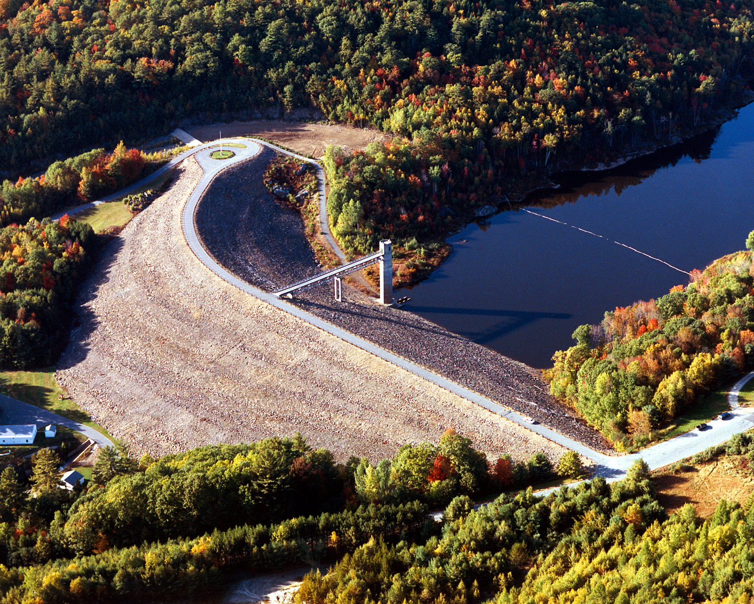 Otter BrookCanoeingPhoto: U.S. Army Corps of Engineers, photographer not specified or unknown, Public domain (via Wikimedia Commons)9.9 mi
Source: Roamze catalog (indexable pages within 10 miles, PostGIS distance)
- Elisabeth B. McIntire TrailHiking · Next doorPhoto: US Fish and Wildlife Service - Recovery Act Team, CC BY 2.0 (via Flickr)
 Andrew Brook TrailHiking · ~25 min drivePhoto: ihamr, CC BY 2.0 (via Flickr)
- Cheshire Rail TrailHiking · ~22 min drive
 Thumbs Down TrailHiking · ~24 min drivePhoto: Under the same moon..., CC BY 2.0 (via Flickr)
 Cheshire Recreational Rail TrailHiking · ~25 min drivePhoto: Mark Bonica, CC BY 2.0 (via Flickr)
 Thumbs Up TrailHiking · ~24 min drivePhoto: Steven Lamonde, CC BY 4.0 (via Wikimedia Commons)
- Cadot TrailHiking · ~25 min drivePhoto: Steven Lamonde, CC BY 4.0 (via Wikimedia Commons)
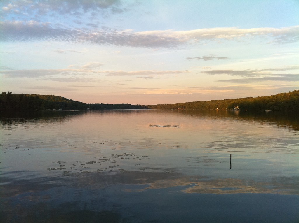 River TrailHiking · ~24 min drivePhoto: dewittn, CC BY-SA 2.0 (via Flickr)
- Balance Rock TrailHiking · ~16 min drive
- Zophar Willard TrailHiking · ~25 min drivePhoto: dewittn, CC BY-SA 2.0 (via Flickr)
Best time to visit Sands Trail
Best months: August–October. Best months have typical highs of 55–85 °F, lows of 30 °F or warmer (32 °F where the station doesn't record snow), at most one snowy day and no more than 12 wet days.
Jan
29° / 13°
11 wet
Feb
31° / 15°
9 wet
Mar
40° / 22°
10 wet
Apr
53° / 33°
10 wet
May
66° / 44°
13 wet
Jun
75° / 54°
13 wet
Jul
79° / 59°
13 wet
Aug
77° / 57°
11 wet
Sep
70° / 50°
10 wet
Oct
57° / 39°
12 wet
Nov
45° / 29°
11 wet
Dec
34° / 20°
12 wet
Typical high / low (°F) and days with rain or snow, 1991–2020. Measured at Mt Sunapee, NH, 15.7 mi away at 1,275 ft. This station doesn't record snowfall. Source: NOAA NCEI U.S. Climate Normals 1991–2020.
Route details
- Distance
- 0.4 mi round trip
- Climbing
- About 559 ft
- Summit
- 1,613 ft
- Difficulty
- Easy
- Time
- About 0.5 hours
Other routes up Bald Hill
Questions about this route
How long is the Sands Trail on Bald Hill?
About 0.4 mi round trip.
How much elevation gain is on the Sands Trail?
About 559 ft of climbing round trip.
How hard is the Sands Trail?
It is rated easy.
How long does the Sands Trail take?
About 0.5 hours round trip.
How many routes go up Bald Hill?
3: Gage Trail, Sands Trail and Elisabeth B. McIntire Trail.
Map and trail data © OpenStreetMap contributors
